

Koriyama Castle Stone Markers, Part 2: Ura-mon to the Ryūrikyō Residence
The second half of Koriyama Castle is where the chain of gates and the logic of dividing the grounds with moats come into focus. From Ura-mon to Nakashikiri-mon, along the Shikiri-bori dividing moat and on to Matsukage-mon, Minami-gomon and Nishi-gomon, the scattered markers start to join up into the skeleton of the castle. Part 2 covers nine of them, each with on-site photographs and a 360° panorama so you can judge the distances for yourself.
- Ura Mon Site (裏門跡)
- Nakashikiri-mon Gate Site (中仕切門跡)
- Shikiri-bori Dividing Moat (仕切堀)
- Matsukage Gate Site (松蔭門跡)
- Minami-gomon Gate Site (南御門跡)
- Gojikken-baba Riding Ground Site (五拾間馬場跡)
- Babasaki-mon Gate Site (馬場先門跡)
- Nishi-gomon Gate Site (西御門跡)
- Ryūrikyō Residence Site (柳里恭屋敷跡)
- Getting there & admission
- FAQ
The second half of Koriyama Castle is where the chain of gates and the logic of dividing the grounds with moats come into focus. From Ura-mon to Nakashikiri-mon, along the Shikiri-bori dividing moat and on to Matsukage-mon, Minami-gomon and Nishi-gomon, the scattered markers start to join up into the skeleton of the castle. Part 2 covers nine of them, each with on-site photographs and a 360° panorama so you can judge the distances for yourself.
Site by Site
The map below shows all the stone markers at Koriyama Castle. The blue pins are covered in Part 1 and the orange pins in Part 2.
Ura Mon Site (裏門跡) 🎥 360°
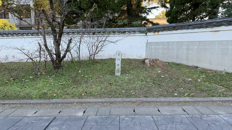
Nara Prefecture’s commentary on the old painted maps, which label the buildings around the Ninomaru Goten palace, includes a gate written as “Ura-mon”, the rear gate. The historic-site map also marks the spot as Ura Mon Site (裏門跡).
Nakashikiri-mon Gate Site (中仕切門跡) 🎥 360°
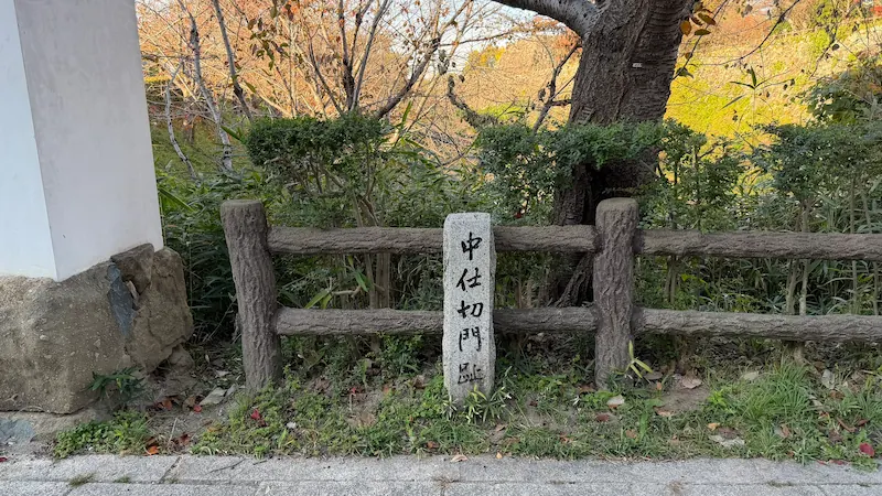
The historic-site map marks the position of Nakashikiri-mon-ato, the site of the gate that divided the castle grounds.
Shikiri-bori Dividing Moat (仕切堀) 🎥 360°
Shikiri-bori (仕切堀) means, literally, “the dividing moat”.
Matsukage Gate Site (松蔭門跡) 🎥 360°
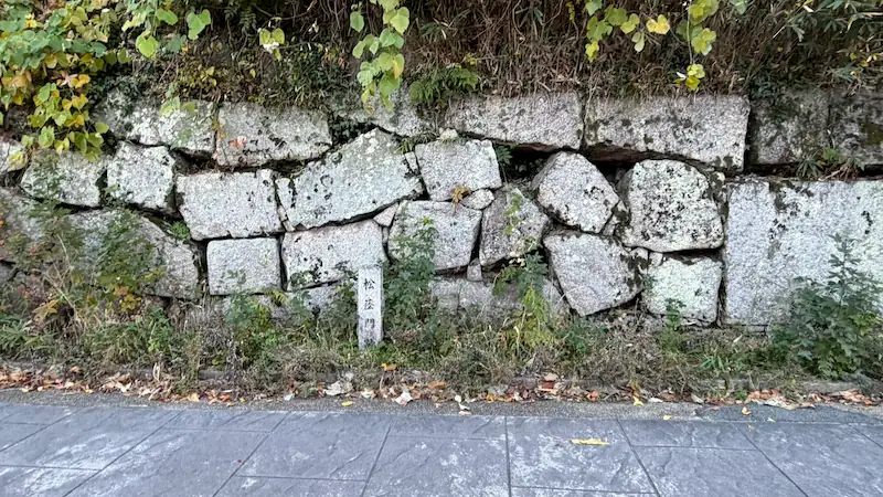
A city-published article discusses the name of Matsukage-mon and how it should be read — noting, among other things, that 松蔭 is easily misread as “Shoin”. The historic-site map marks the spot as Matsukage Gate Site (松蔭門跡).
Minami-gomon Gate Site (南御門跡) 🎥 360°
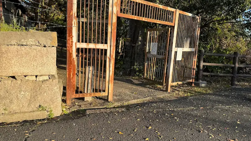
The historic-site map marks the position of Minami-gomon-ato, the site of the south gate.
Gojikken-baba Riding Ground Site (五拾間馬場跡) 🎥 360°
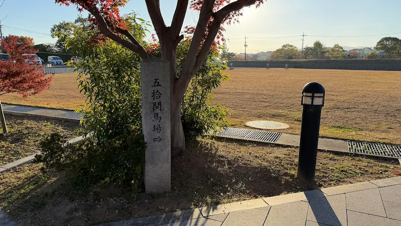
The city’s preservation and management plan records the Gojikken-baba, a riding ground whose name refers to a length of fifty ken (a traditional unit of roughly 1.8 metres), and places it “along the eastern edge”. The historic-site map also marks the spot as Gojikken-baba-ato.
Babasaki-mon Gate Site (馬場先門跡) 🎥 360°
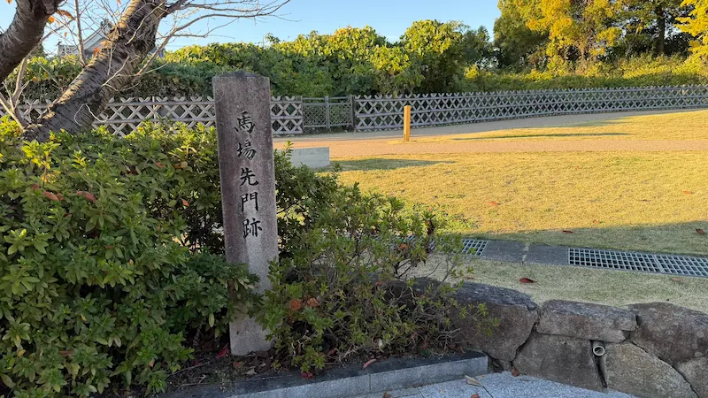
The historic-site map marks the position of Babasaki-mon-ato, the gate in front of the riding ground.
Nishi-gomon Gate Site (西御門跡) 🎥 360°
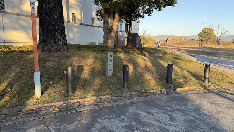
The historic-site map marks the position of Nishi-gomon-ato, the site of the west gate. City-published historical records also state that Nishi-mon was moved here from Fushimi Castle in Kyoto.
Ryūrikyō Residence Site (柳里恭屋敷跡) 🎥 360°
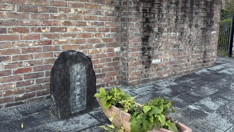
A city-published article records that the “Ryūrikyō Residence Site” marker stands beside the road that follows the moat on the west side of the Koriyama Castle ruins. Ryūrikyō — Yanagisawa Ryūrikyō, later known as Kien — moved to Koriyama in 1724 (Kyoho 9) when the Yanagisawa clan was transferred here, and took the name “Rikyō” after the domain lord Yoshisato granted him the Yanagisawa surname and the character 里 (ri) from his own name.
I do not rank the Koriyama Castle marker sites — they are all sites for castle enthusiasts rather than general sightseeing. The grouping below reflects what this page records about each site; it is not an official recommended order. Fieldwork: January 2026.
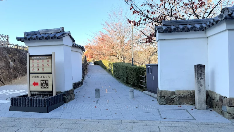
The 360° panoramas let you see how the moat and the gate sit next to each other, exactly as they appear on the ground.
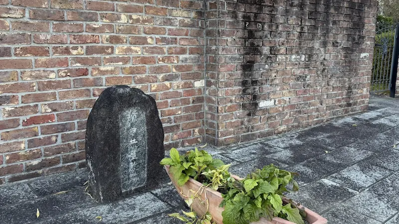
The residence site of Ryūrikyō, who moved to Koriyama when the Yanagisawa clan was transferred here. The marker stands beside the road along the moat on the west side of the castle ruins.
These are stone markers whose positions are recorded on the historic-site map.
Getting There, Admission & Hours
| Nearest station | Kintetsu Koriyama Station (近鉄郡山駅), Kintetsu Kashihara Line — about a 7-minute walk |
|---|---|
| Second station | JR Koriyama Station (JR郡山駅), JR Yamatoji Line — about a 15-minute walk |
| Two different stations | Kintetsu Koriyama and JR Koriyama are separate stations run by different railway companies. Check which one your route uses before you set out. |
| Where this is | Yamato Koriyama (大和郡山) is a castle town in Nara Prefecture, just south of the city of Nara and within easy reach of both Nara and Osaka. |
| Not to be confused with | Kōriyama (郡山) in Fukushima Prefecture, in northern Japan, is a completely different city. This site is Yamato Koriyama in Nara. |
| Address | Shironai-cho, Yamato Koriyama, Nara Prefecture |
| Admission | The castle grounds (Koriyama Castle Ruins Park) are free |
| Opening hours | The grounds are open 24 hours. The keep platform viewing facility and the Koriyama Castle Information Hall are open 7:00–19:00 from April to September and 7:00–17:00 from October to March |
| Parking | Parking around the castle is limited; public transport is the more reliable option |
| Finding the markers | The markers on this page are scattered across the castle grounds and the streets around them. Open each accordion for the exact location on a map and a 360° panorama of the spot. |
Access, admission and opening hours are based on information published by Yamato Koriyama City and on this site’s own Koriyama Castle guide. Please check the official sources for the latest details.
More of Yamato Koriyama
Frequently Asked Questions
Nine markers, from the Ura-mon Gate site to the Ryūrikyō residence site. All nine have a 360° panorama.
On the marker map above, the blue pins are Part 1 (fifteen sites) and the orange pins are Part 2 (nine sites).
A city-published article explains that Ryūrikyō — Yanagisawa Ryūrikyō, later known as Kien — moved to Koriyama in 1724 (Kyoho 9) when the Yanagisawa clan was transferred here, and took the name “Rikyō” after the domain lord Yoshisato granted him the Yanagisawa surname and the character 里 (ri) from his own name.
A city-published article notes that 松蔭 is easily misread as “Shoin”. The historic-site map gives the English name as Matsukage Gate Site.
City-published historical records state that Nishi-mon was moved here from Fushimi Castle in Kyoto.
Kintetsu Koriyama Station on the Kintetsu Kashihara Line is about a 7-minute walk away, and JR Koriyama Station on the JR Yamatoji Line is about 15 minutes. They are two separate stations run by different railway companies.
The castle grounds are free and open 24 hours. The keep platform viewing facility and the Koriyama Castle Information Hall are open 7:00–19:00 from April to September and 7:00–17:00 from October to March.
☕ Support This Site
Following the Shogun is built on original fieldwork and on-site research.
If you found this guide useful, your support helps keep it going.

You can also support via QR code


comment