


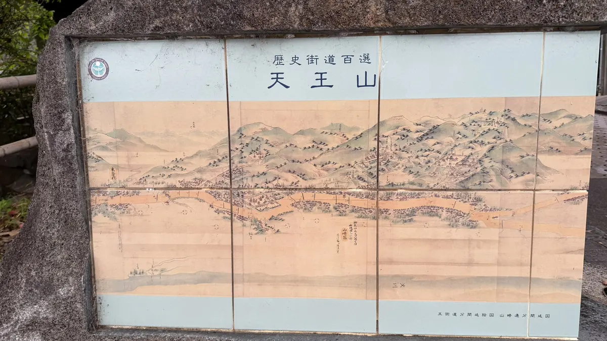
Mount Tennōzan & the Yamazaki Battlefield: Castle Ruins, Monument, and Kofun Guide
Mount Tennōzan sits between Kyoto and Osaka, closely tied to the 1582 Battle of Yamazaki. Walk the ground yourself, though, and you'll find that the summit, Yamazaki Castle Ruins, the Battle of Yamazaki Monument, and the flat battlefield around the Koizumi River are four separate places, each with its own character.
On This Page
- Four Main Site Types, Not One
- Choosing Your Route
- Access
- Before You Go
- Museum, Hōshaku-ji Temple & the Trailhead
- Hideyoshi's Road, the Trail & Sakatoke Shrine
- Mount Tennōzan Summit & Castle Ruins
- Monument, Koizumi River & Kofun Candidates
- A Closer Look at the Battle of Yamazaki
- Frequently Asked Questions
Yamazaki Castle did not yet exist on the day of the Battle of Yamazaki. Hideyoshi built it immediately after the battle. There is no reconstructed keep here; what survives includes earthworks, traces of stone walls, and well remains scattered through the wooded summit area. The Battle of Yamazaki Monument, meanwhile, doesn't mark the exact center of the fighting; it's a modern commemorative marker for a battle that spread across a much wider area.
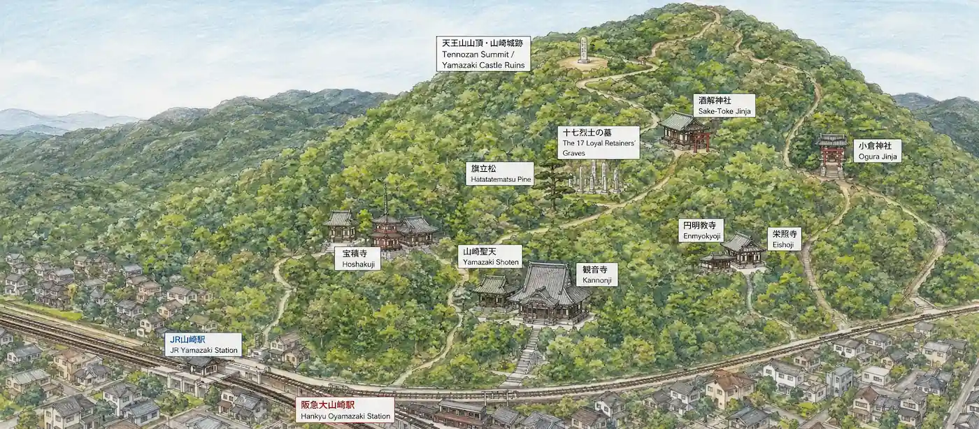
This guide lays out three ways to visit: a Summit Route to the top and the castle ruins, a Flat Route that skips the mountain climb and visits the monument, the Koizumi River area, Sakaino No. 1 Kofun, and Igenoyama Kofun, and a Combined Route that links everything in one direction — choose based on your time and fitness level.
Overview map showing how Mount Tennōzan, the castle ruins, the monument, and the Koizumi River area relate to one another
Four Main Site Types, Not One
Mount Tennōzan and the Battle of Yamazaki are often spoken of as a single place, but on the ground there are four main site types, each with a different character.
| Mount Tennōzan (natural terrain) | A hill in its own right — the summit alone wasn't the entire battlefield. |
|---|---|
| Yamazaki Castle Ruins (castle remains) | Hideyoshi built the castle immediately after the battle. There is no reconstructed keep; earthworks, traces of stone walls, and well remains survive around the summit. |
| Battle of Yamazaki Monument (a modern marker) | Doesn't pinpoint the exact center of the fighting — it's a marker set up in the present day. |
| Koizumi River battlefield landscape (a broad area) | Gives a sense of the battle's scale, though its exact boundaries aren't firmly fixed. |
Choosing Your Route
Summit Route (hiking required)
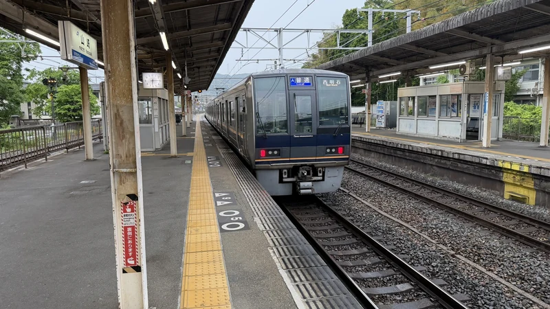
Start: JR Yamazaki Station or Hankyu Ōyamazaki Station
Visits: Hōshaku-ji Temple, Hideyoshi's Road, Hatatatematsu Pine and its overlook, Sakatoke Shrine, the summit, and Yamazaki Castle Ruins
Time: about 60 minutes to the summit by official estimate (sightseeing not included), plus time to explore
Note: Hilly terrain with slopes. On our rainy visit, the area around the castle ruins felt especially steep and slippery.
Flat Route (no mountain climb)
Start: Hankyu Nishiyama-Tennōzan Station
Visits: the Battle of Yamazaki Monument, the Koizumi River area, Sakaino No. 1 Kofun, Igenoyama Kofun
This route suits travelers who want to see the monument, the flat battlefield landscape, Sakaino No. 1 Kofun, and Igenoyama Kofun without climbing Mount Tennōzan.
Combined Route (summit + flat)
Start: JR Yamazaki Station or Hankyu Ōyamazaki Station; End: Hankyu Nishiyama-Tennōzan Station
Covers Hōshaku-ji Temple, Hideyoshi's Road, Hatatatematsu Pine, Sakatoke Shrine, the summit, Yamazaki Castle Ruins, the Battle of Yamazaki Monument, the Koizumi River area, Sakaino No. 1 Kofun, and Igenoyama Kofun in one direction.
On a rainy visit on April 30, 2026, we left JR Yamazaki Station around 6:30 AM and reached the Chikara-mizu water point around 10:00 AM. Hankyu Nishiyama-Tennōzan Station is only a short walk from there, so the full one-way route also took approximately 3 hours 30 minutes in total, including photography and time spent exploring the ruins.
Access
Stations
| JR Yamazaki Station | JR Kyoto Line / JR-A36 — starting point for the Summit and Combined routes |
|---|---|
| Hankyu Ōyamazaki Station | Hankyu Kyoto Line / HK75 — starting point for the history museum and the trailhead |
| Hankyu Nishiyama-Tennōzan Station | Hankyu Kyoto Line / HK76 — starting point for the monument, Sakaino No. 1 Kofun, Igenoyama Kofun, and the Flat Route |
Getting to the summit
| From JR Yamazaki / Hankyu Ōyamazaki | About 60 minutes by official estimate (sightseeing not included) |
|---|---|
| From Hankyu Nishiyama-Tennōzan (western approach) | About 80 minutes by official estimate — a separate option from the main routes |
| Ōyamazaki Town History Museum | About a 5-minute walk from JR Yamazaki Station, right by Hankyu Ōyamazaki Station |
From major cities
| Shinkansen gateway | The most practical gateway is Kyoto Station, with Shin-Osaka Station as a secondary option. |
|---|---|
| From Kyoto | Roughly 15–30 minutes by train plus a short walk (varies by train type). |
| From Osaka | Roughly 30–45 minutes by train plus a short walk (varies by departure station and train type). |
Public transport plus walking is the practical approach. The summit side involves hill paths; the flat side is mostly level walking. Parking conditions differ by location, so we're not recommending a single shared option.
The Ōyamazaki Town History Museum is open 9:30 AM–5:00 PM (last entry around 4:30 PM), with general admission around ¥200 (free for elementary and junior high school students). It's closed Mondays (or the following day if Monday is a holiday, with occasional temporary closures). Please check current hours before visiting.
Before You Go
On our visit on April 30, 2026, it was raining, and the area around Yamazaki Castle Ruins felt especially steep and slippery. We haven't visited on a clear day, so conditions may differ.
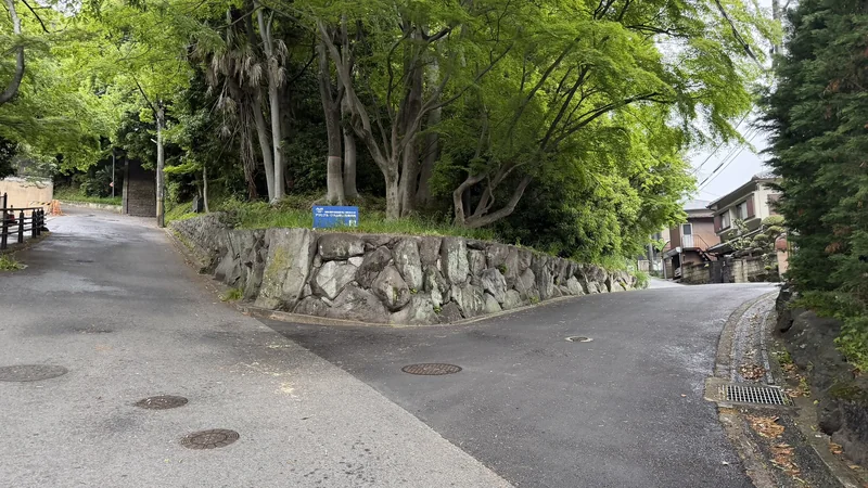
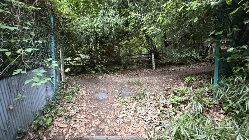
Just past the trailhead, the path splits in two — both directions led to the summit on our visit.
Hiking boots or trail shoes made the summit and ruins easier to navigate.
The castle ruins area is hard to make sense of without signage, though the well site — which is enclosed — was relatively easy to spot (more on this in the Yamazaki Castle Ruins section).
The monument itself is easy to find, but it doesn't give a sense of the battlefield's full extent — the overview map above helps with that.
Part of the area near the summit is private land, and some of the stonework is fragile and prone to collapse. Please follow on-site signage and roping, stay out of restricted areas, and avoid climbing on or moving any stones — view the ruins only from the areas open to visitors.
Ōyamazaki Town History Museum, Hōshaku-ji Temple & the Trailhead
Ōyamazaki Town History Museum
About a 5-minute walk from JR Yamazaki Station / right by Hankyu Ōyamazaki Station
The museum sits about a 5-minute walk from JR Yamazaki Station, or right next to Hankyu Ōyamazaki Station. You can stop here before climbing to get background on the battle, or visit afterward to put what you've seen into context — either order works. We visited early in the morning, before the museum opened, so we can't speak to the exhibits firsthand. See the Access section above for current hours and admission.
The Trailhead and First Junction
Just past a railway crossing
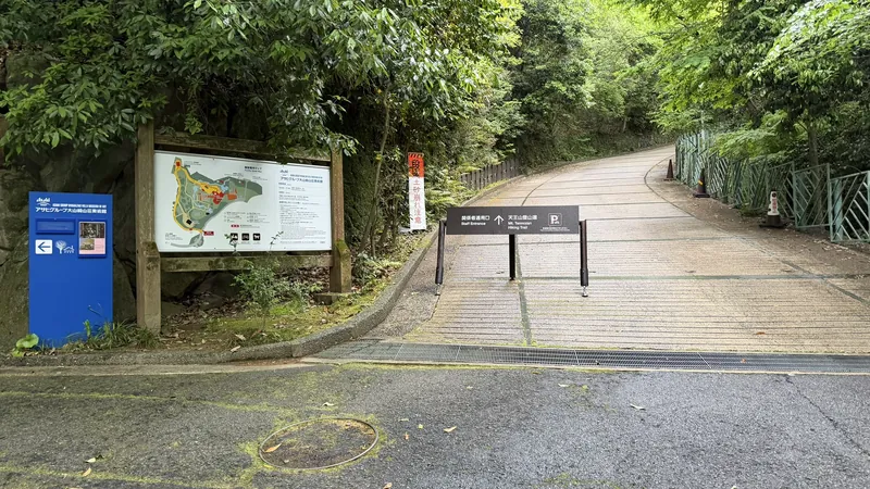
Just past a railway crossing, the path up Mount Tennōzan begins, and a short way in, it splits. Going straight leads to Hōshaku-ji Temple; turning right skips the temple and leads directly to the Hideyoshi's Road marker. We took the right-hand path and visited the temple on the way down instead. On our visit on April 30, 2026, we did not see signage at this fork, so it helped to know the two route options in advance (see "Before You Go" above for more).
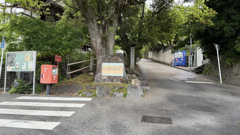
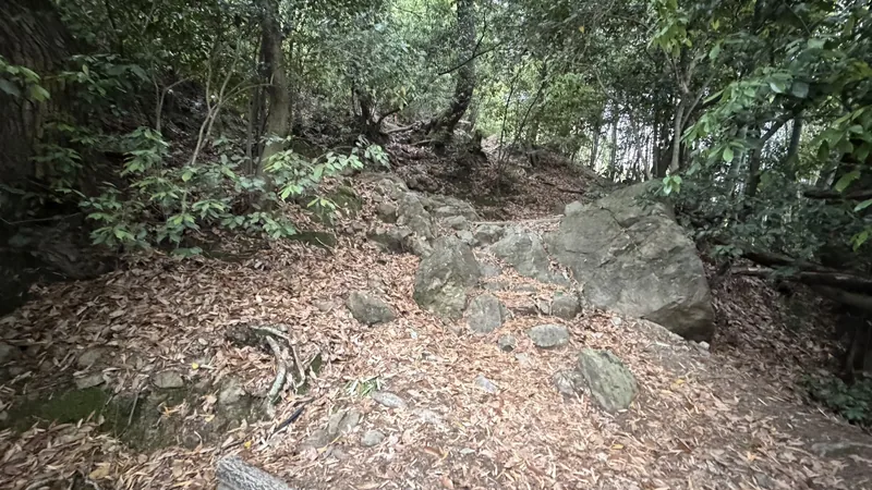
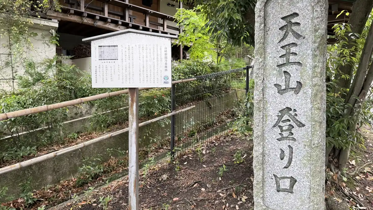
Tap to enlarge
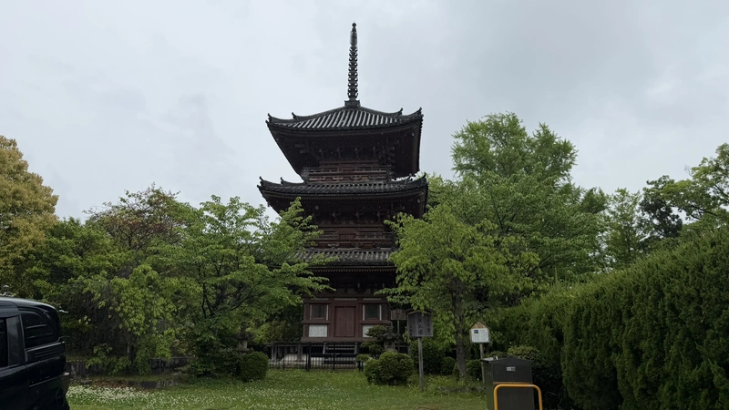
Hōshaku-ji Temple and Its Three-Story Pagoda
Near the trailhead
Hōshaku-ji Temple sits near the trailhead area and is easy to find. We stopped here on our way down, though visiting before you start climbing works just as well.
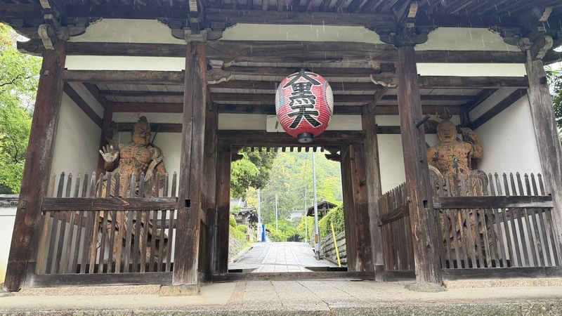
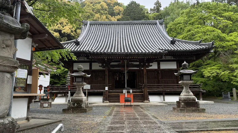
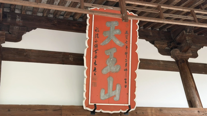
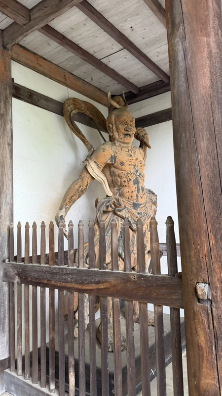
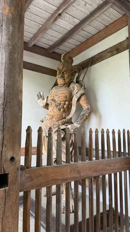
Tap to enlarge
The temple grounds include a three-story pagoda dating to the Momoyama period. Local tradition holds that Hideyoshi had it built in a single night after the Battle of Yamazaki — this is a story passed down locally, not something documented as historical fact.
The stone steps at Hōshaku-ji were manageable compared to other stretches of the walk.
Tap to enlarge
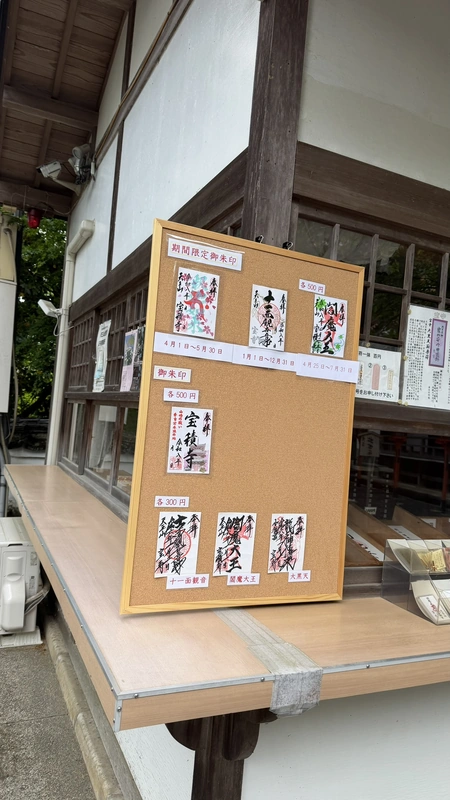
Information about goshuin is available at Hōshaku-ji, but we did not receive one during this visit. Availability, dates, and issuing methods may change, so check the temple's official information before visiting.
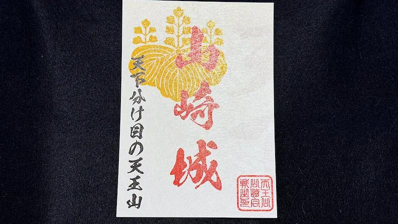
The Yamazaki Castle gojōin pictured here was purchased near Shōryūji Castle in June 2026. We did not check its current sales location or availability during our visit to Mount Tennōzan. If you would like to purchase one, check the latest information before visiting.
Shusse-ishi Stone
Hōshaku-ji Temple grounds
The temple grounds also include Shusse-ishi ("Stone of Success"), tied to a local tradition about Hideyoshi's rise.
Hideyoshi's Road, the Mountain Trail & Sakatoke Shrine
Hideyoshi's Road
Turn right at the trailhead fork
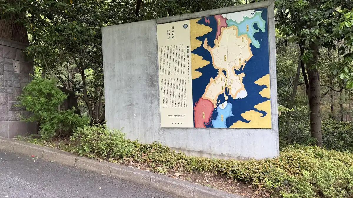
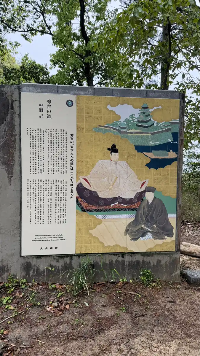
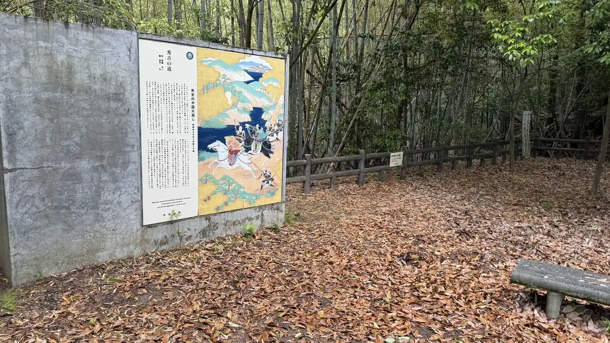
Taking the right-hand path at the trailhead fork leads into a stretch known as Hideyoshi's Road — six modern ceramic panels set along the trail that walk you through the course of the Battle of Yamazaki as you climb. On our visit, all six panels were easy to spot along the way.
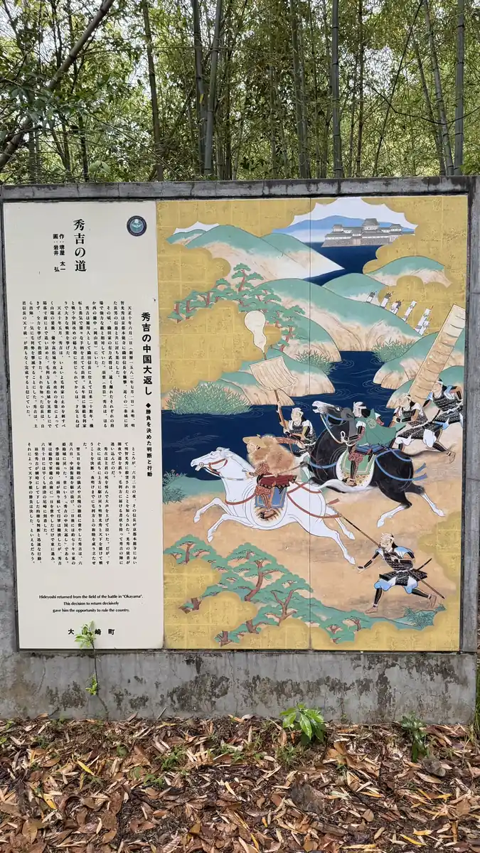
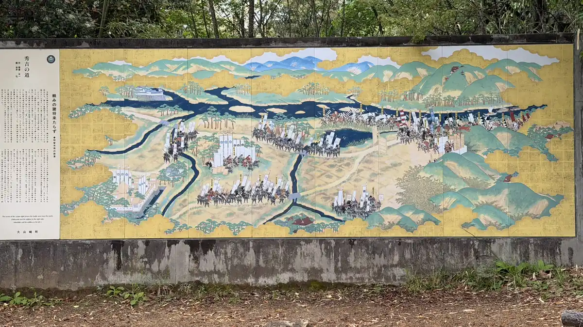
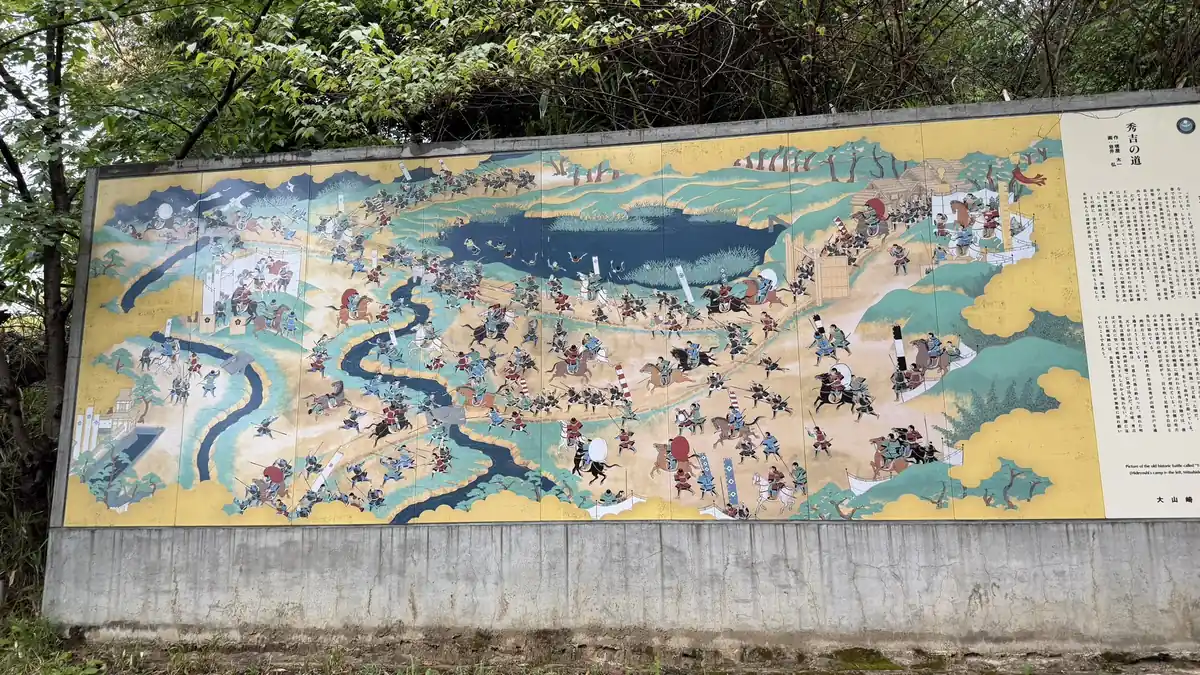
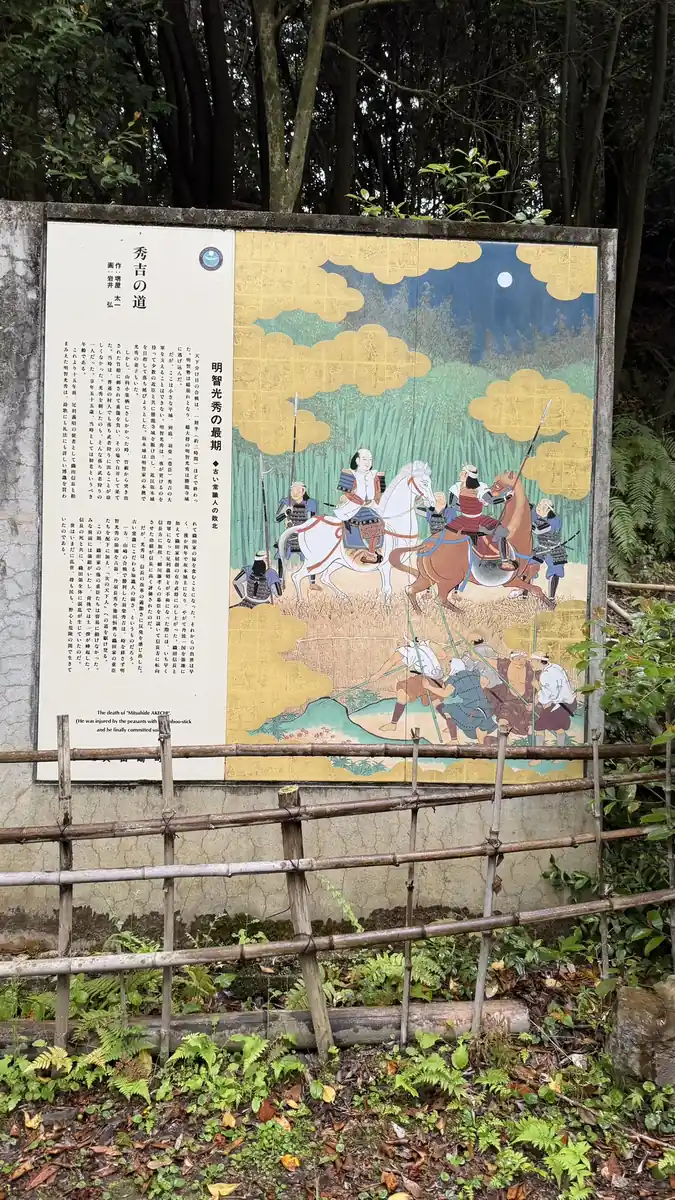
Tap to enlarge
These panels are modern interpretive displays, not historical documents themselves — the summaries here reflect their general content rather than a full transcription.
The Mount Tennōzan Trail
From paved path to mountain trail
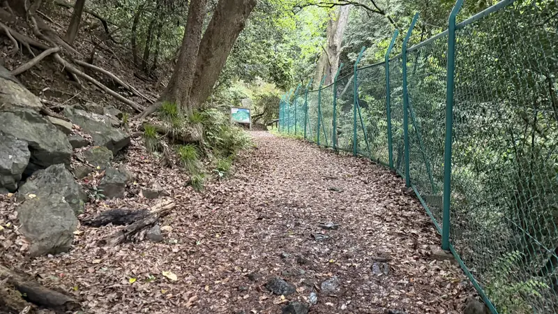
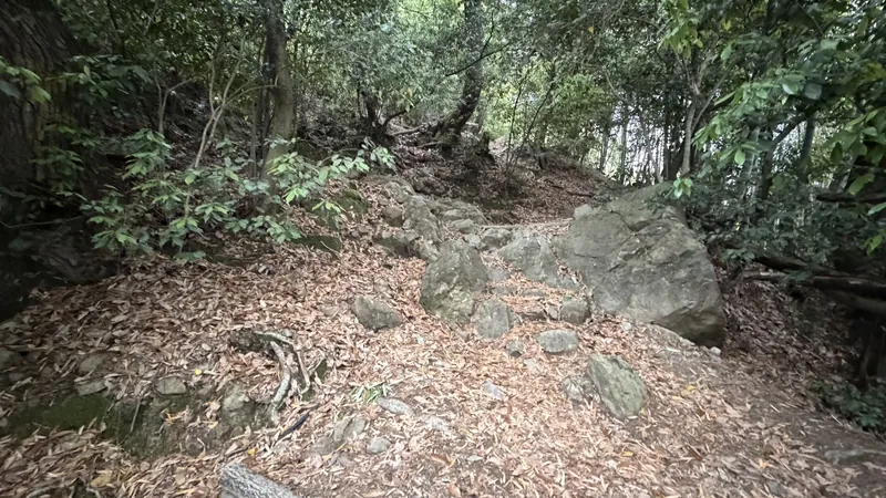
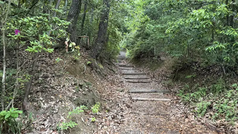
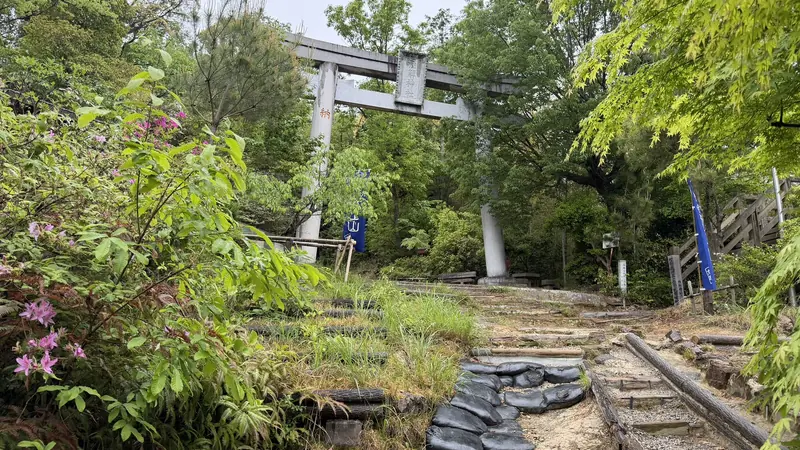
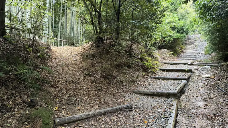
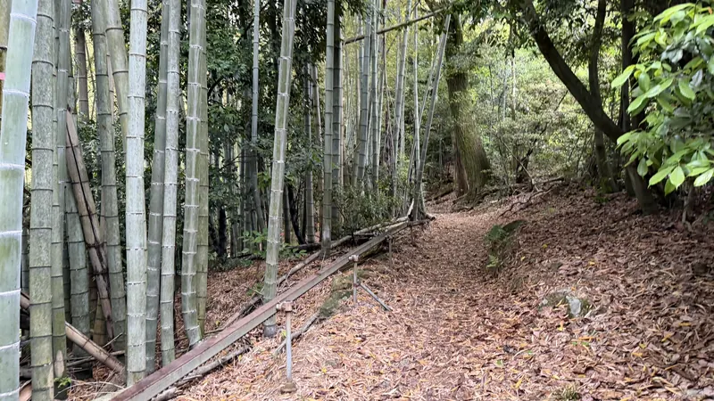
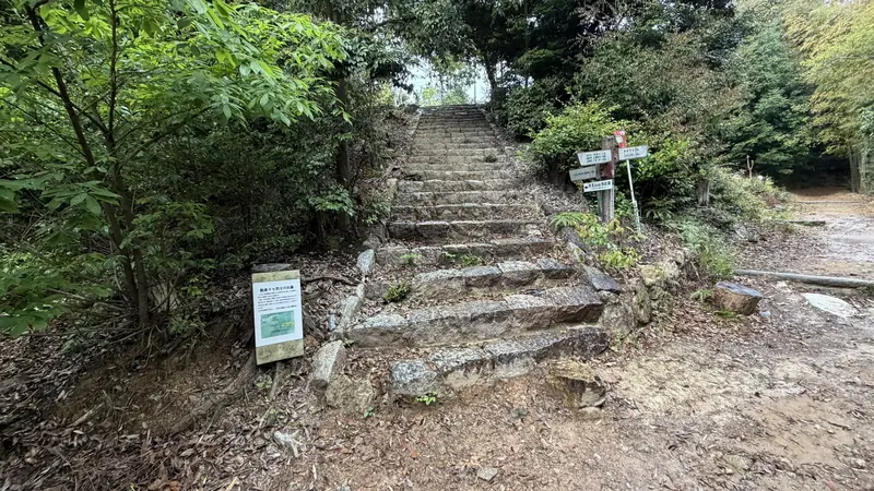
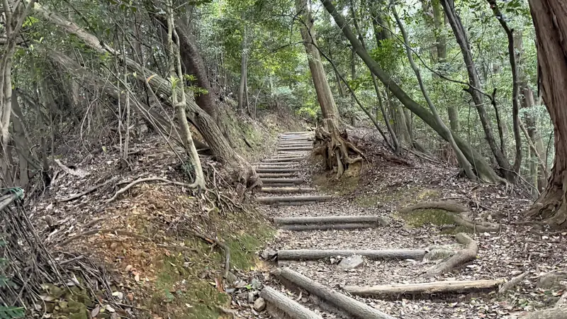
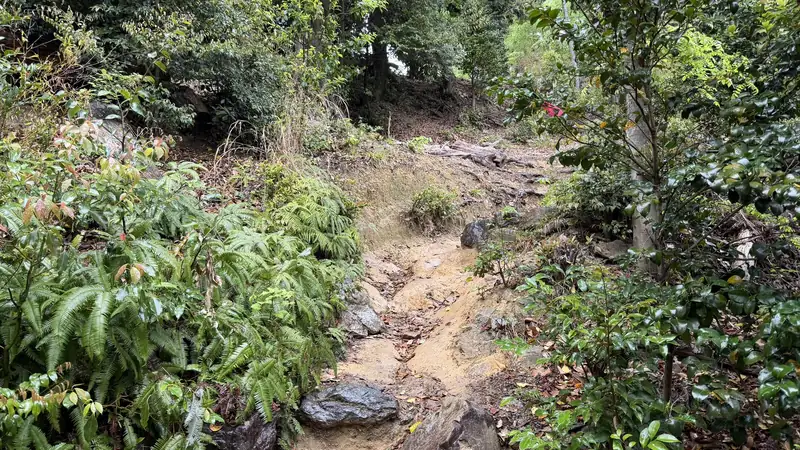
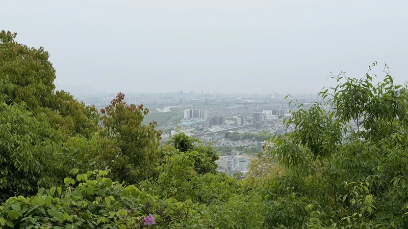
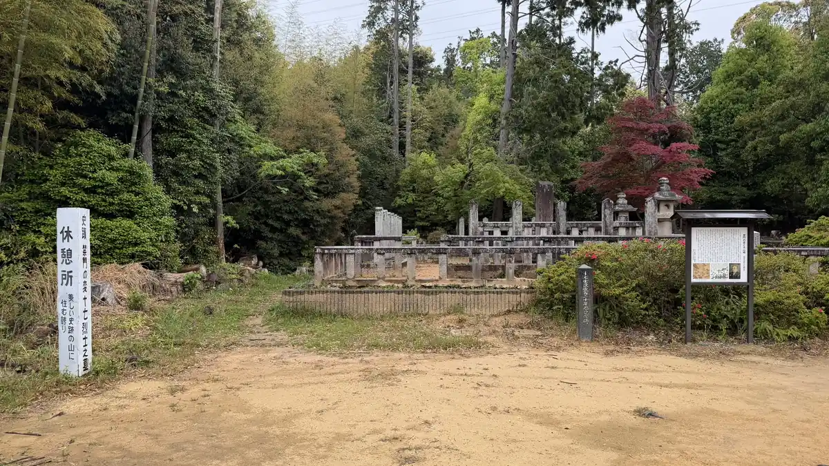
Past Hideyoshi's Road, the paved path gradually gives way to a proper mountain trail. Torii gates, stone lanterns, and stands of bamboo appear along the way.
Tap to enlarge
Footing varies along this stretch, and how easy it is to walk may depend on weather and season. The trail also passes the Graves of the Seventeen Martyrs, tied to the Kinmon Incident in the final years of the shogunate — a different era from the Battle of Yamazaki.
Aokibadani Viewpoint
About 25 min from JR Yamazaki Station (measured April 30, 2026)
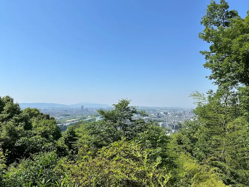
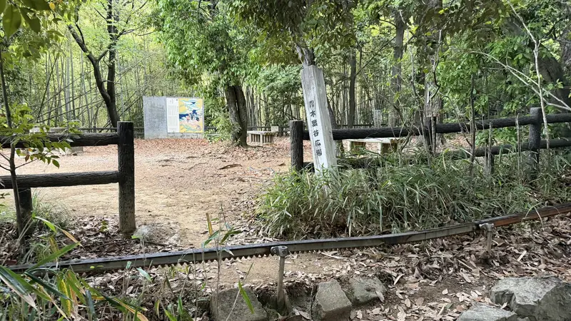
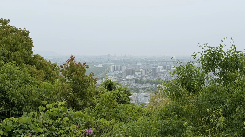
On our visit on April 30, 2026, we left JR Yamazaki Station, skipped Hōshaku-ji Temple, and took the Hideyoshi's Road side of the fork — it took about 25 minutes to reach Aokibadani Viewpoint, a rest area along the trail.
Tap to enlarge
From there, it's about another 12 minutes to Hatatatematsu Pine and its viewpoint, with more continuous slope.
Hatatatematsu Pine and Its Viewpoint
A tradition tied to Hideyoshi
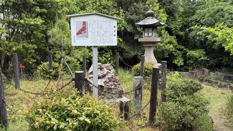
According to local tradition, Hideyoshi raised his battle flag on a pine tree here to rally his forces fighting below. This isn't documented in records from the time — it survives only as a tradition passed down locally. The pine standing today is the seventh generation of the tree associated with the story.
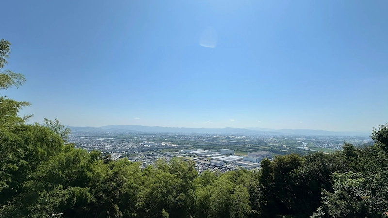
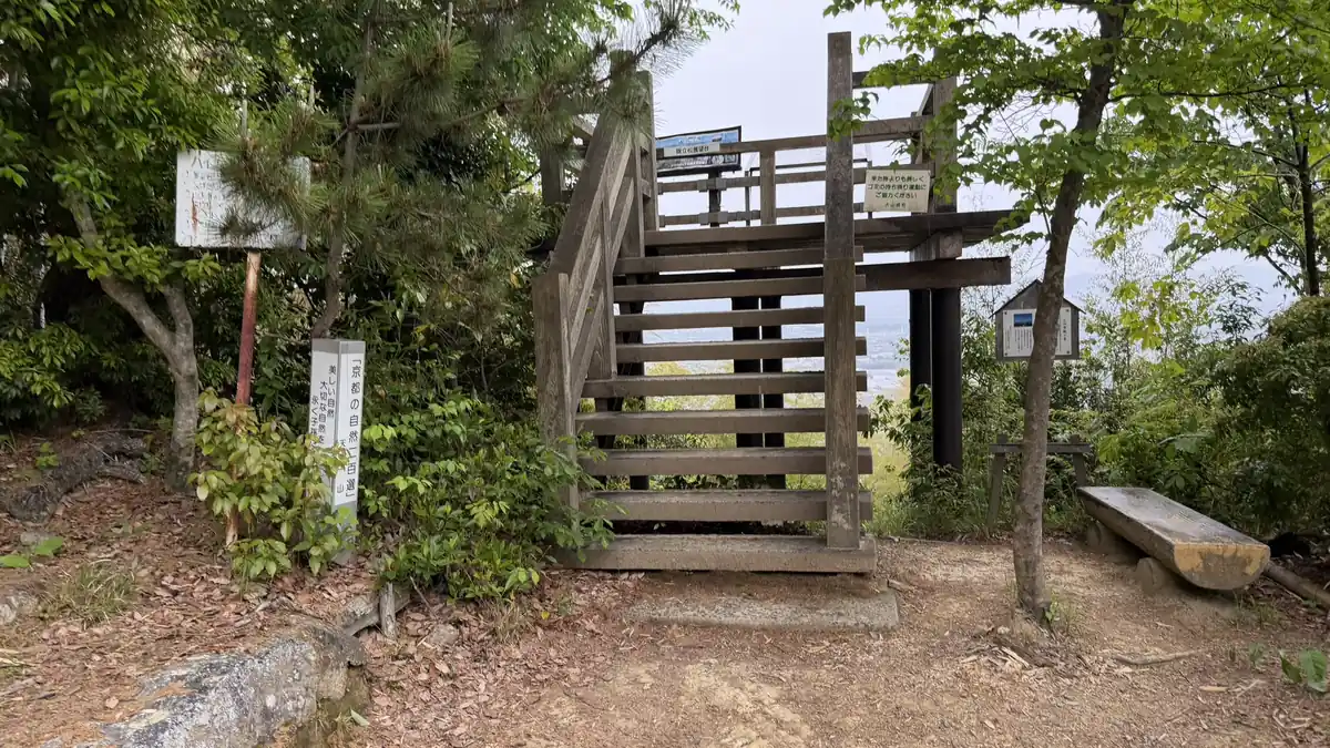
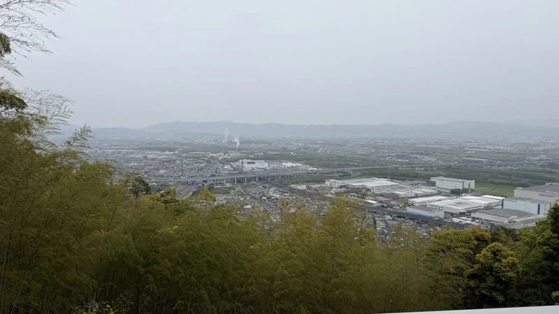
A viewpoint near the pine looks out over the flatland below.
Tap to enlarge
Sansha-gū
Just before Sakatoke Shrine
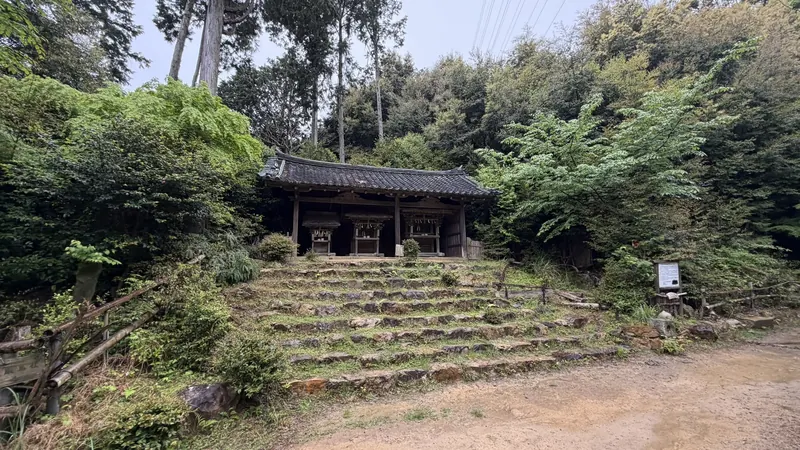
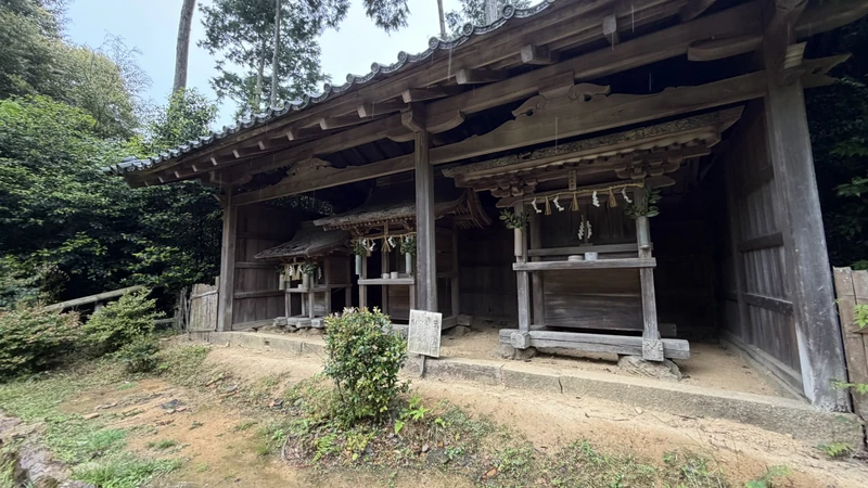
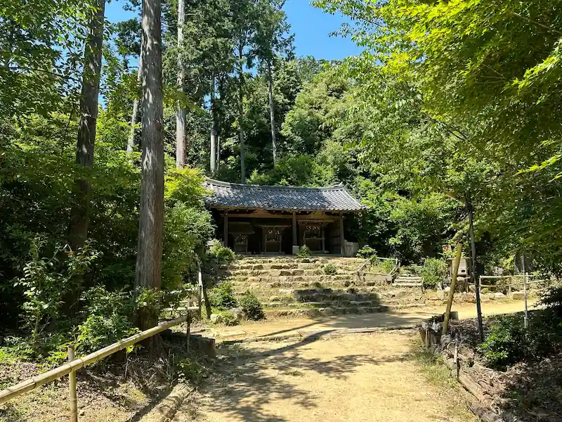
Tap to enlarge
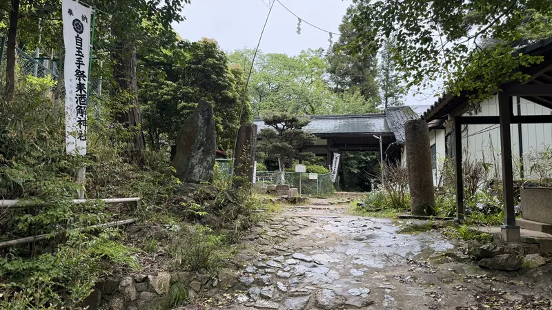
Just before Sakatoke Shrine, you will also pass a group of small shrine buildings known as Sansha-gū. We were unable to confirm their detailed history during this visit or any connection to the Battle of Yamazaki, so we are introducing them simply as a feature along the route.
Sakatoke Shrine
Tamateyori Matsurikitaru Sakatoke Shrine
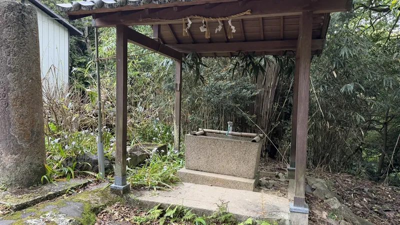
Sakatoke Shrine — formally Tamateyori Matsurikitaru Sakatoke Shrine — is about a 15-minute walk from the Hatatatematsu area. The shrine predates the Battle of Yamazaki by centuries and was relatively easy to identify along the route.
The main hall burned down in 1813 and was rebuilt in 1820. The mikoshi (portable shrine) storehouse has been reported, based on a recent dendrochronological survey, as dating to the early Kamakura period, and it's designated an Important Cultural Property. It adds a separate historical layer to the route, distinct from the history of the Battle of Yamazaki.
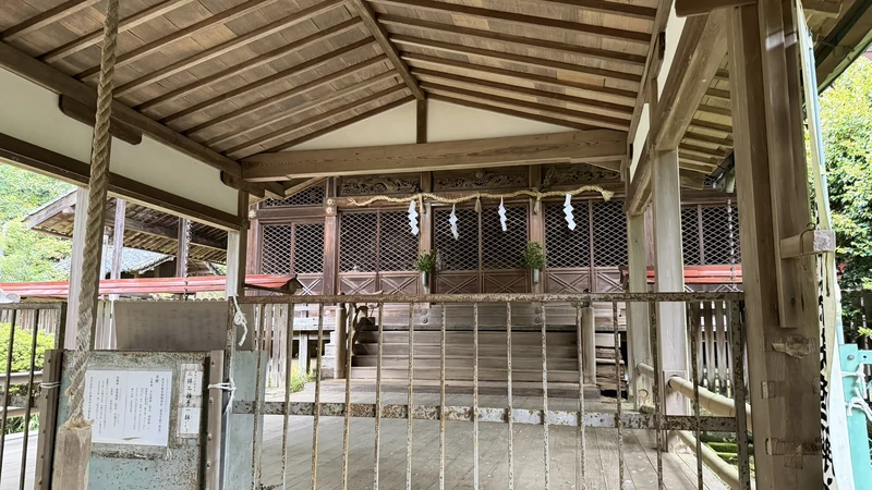
Tap to enlarge
This stretch involves continuous slopes. On our rainy visit on April 30, 2026, hiking boots or trail shoes made the going easier. We also didn't come across any vending machines along the trail during our visit.
According to official guidance, there are no restrooms along the Mount Tennōzan hiking course itself. Facilities are located at the foot of the mountain — at Hōshaku-ji Temple, Ogura Shrine, and the Yamazaki Shōten Sakura Plaza — so plan to use these before you start climbing.
Mount Tennōzan Summit & Yamazaki Castle Ruins
Mount Tennōzan Summit & Yamazaki Castle Ruins
Elevation about 270.4 m / the summit area is also the castle ruins
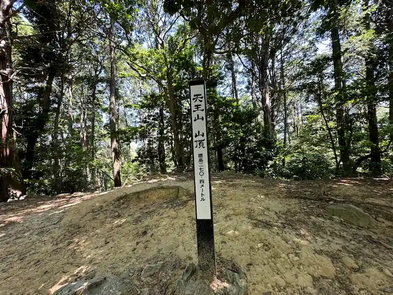
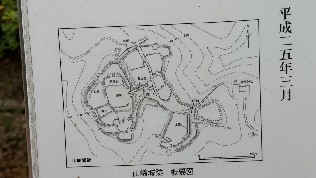
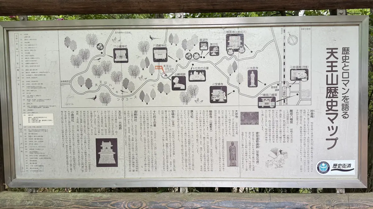
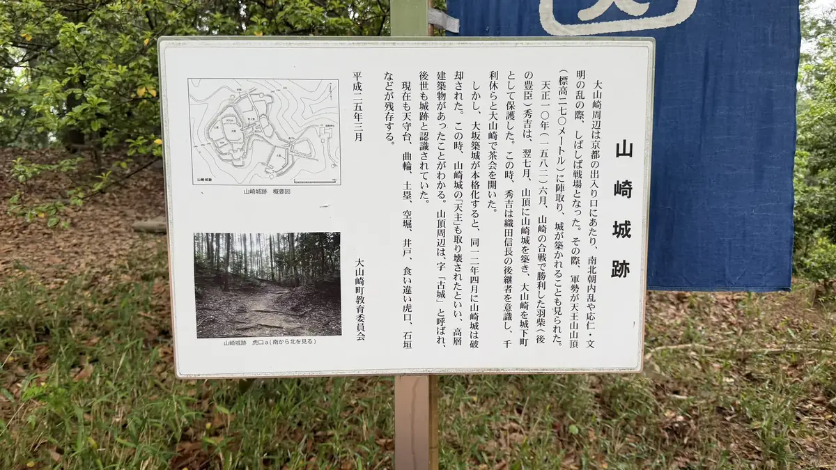
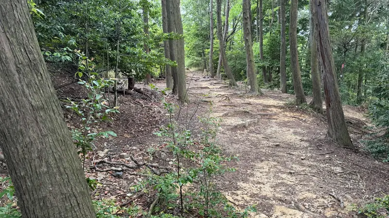
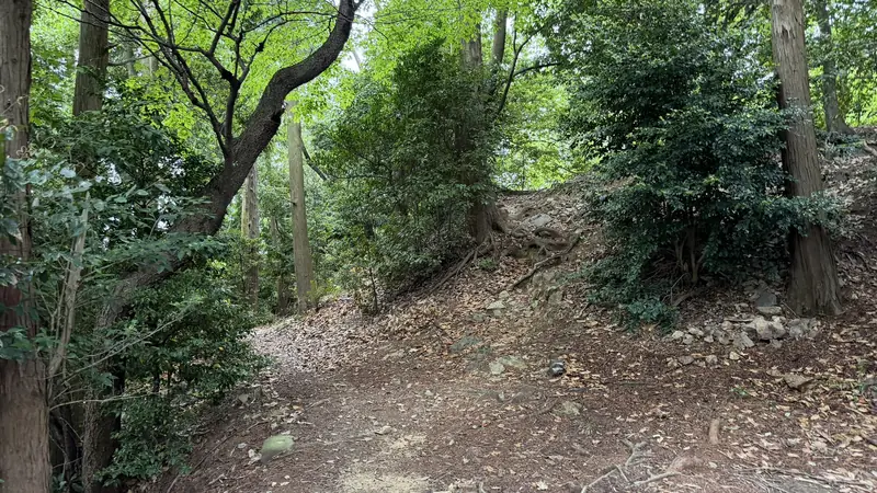
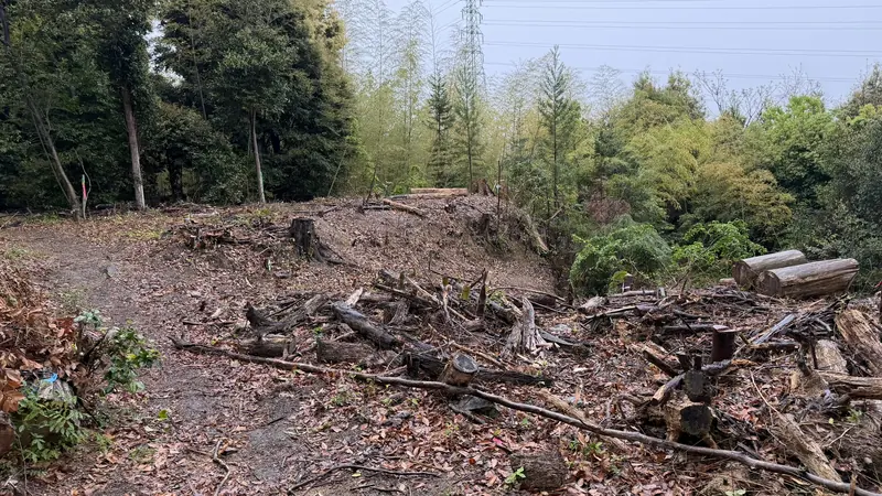
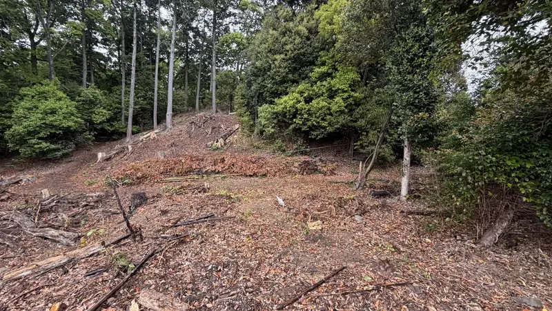
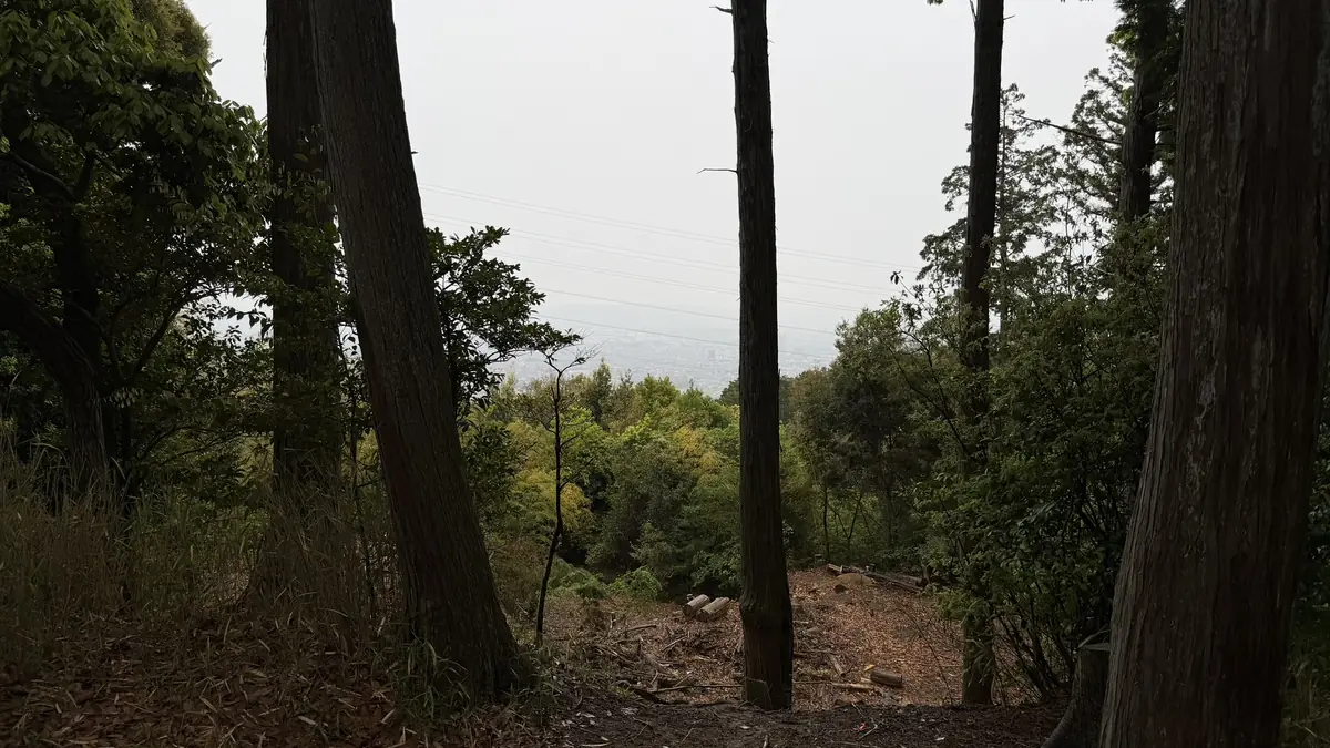
It's about a 17-minute walk from Sakatoke Shrine to the summit and Yamazaki Castle Ruins. The summit sits at an elevation of about 270.4 meters. Mount Tennōzan's summit and Yamazaki Castle Ruins are the same location — the ruins occupy the summit area. Guides describe views toward Kyoto and Osaka from here, but on our rainy, foggy visit on April 30, 2026, we could barely see anything in the distance. The summit itself wasn't the entire battlefield. Some accounts describe Hideyoshi's forces deploying on the Mount Tennōzan hillside, but the main fighting spread beyond the summit, across the flatland and riverside to the east.
Tap to enlarge
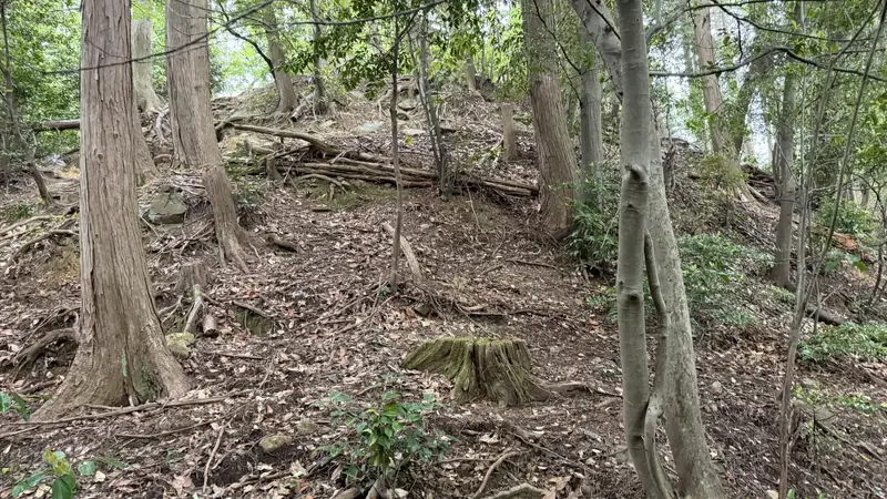
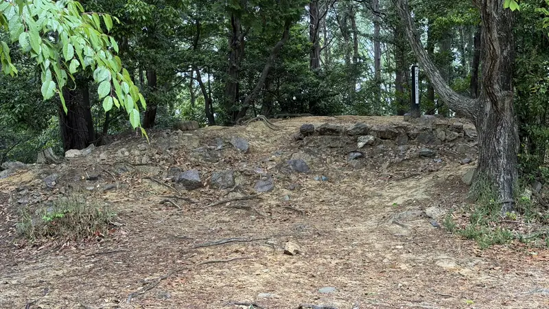
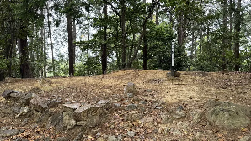
Yamazaki Castle did not exist during the Battle of Yamazaki. The ruins belong to a castle Hideyoshi built immediately after his victory. There is no reconstructed keep and no large surviving stone walls here. The exact date the castle was abandoned isn't documented, so we're not stating one.
An overview map is posted on-site, but matching it to the actual terrain wasn't especially straightforward. Without that context, it's easy to mistake the ruins for just another clearing on the hillside. We spent about 30 minutes exploring this area, and it was the steepest, most slippery stretch of our entire visit, on a rainy day. If you explore the ruins yourself, please stay within the marked viewing area.
Former Keep Platform
Tap to enlarge
The former keep platform is considered the core of Yamazaki Castle, though it isn't especially easy to identify on its own — the on-site signage helps.
Well Remains
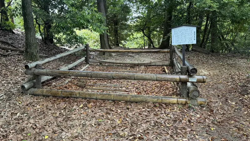
The well remains are enclosed and marked with signage, making them one of the easier features to spot within the castle ruins.
Earthworks and Enclosures
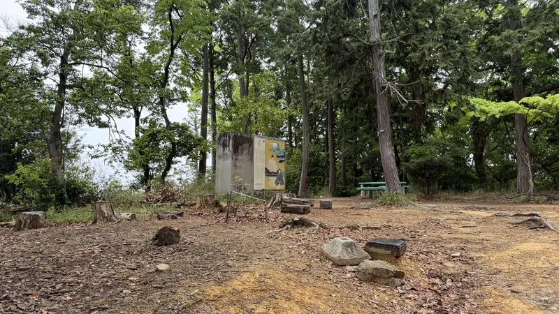
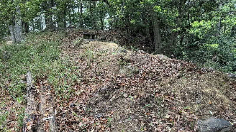
Tap to enlarge
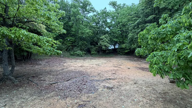
The earthworks, enclosures, and flat terraces can be hard to distinguish from the natural hillside — on their own, they can look like just another stretch of trail. Signage and surrounding context make them easier to read.
Stones Found Around the Castle Ruins
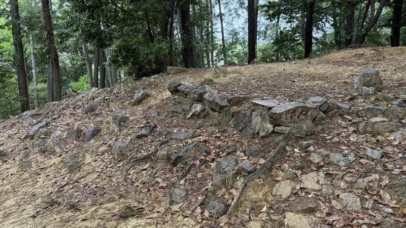
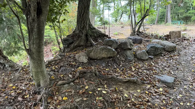
Tap to enlarge
On our visit on April 30, 2026, we found an area within Yamazaki Castle Ruins where stones were clustered together. There was no individual signage nearby, so we cannot confirm whether the stones we photographed are stone-wall remains, foundation stones, or another feature.
Battle of Yamazaki Monument, the Koizumi River Area & Headquarters Candidates
The Battle of Yamazaki Monument and Tennōzan Yume Hotaru Park
About 36 min from Hōshaku-ji Temple (measured April 30, 2026)
On our visit on April 30, 2026, it took about 36 minutes to walk from Hōshaku-ji Temple to the Battle of Yamazaki Monument. Actual time will vary depending on how much photography or sightseeing you do along the way.
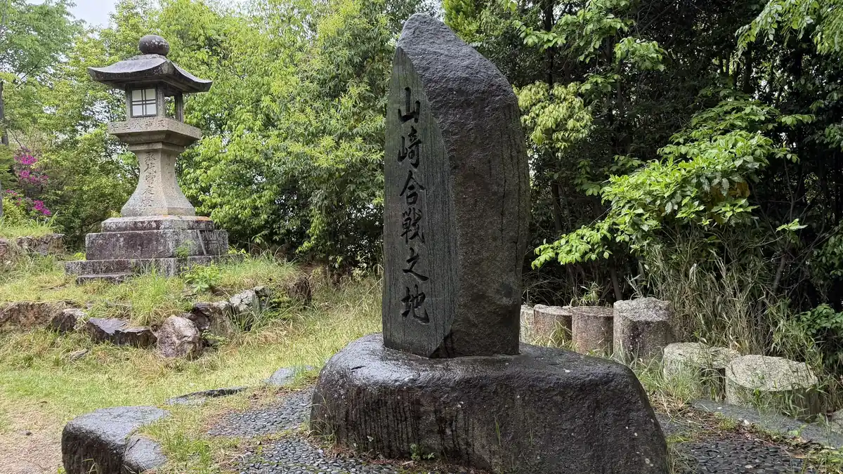
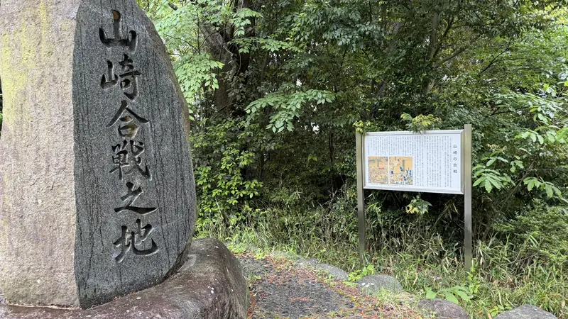
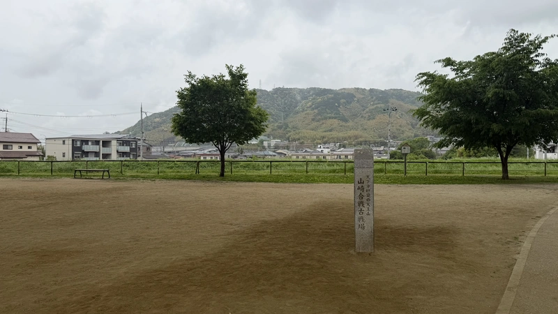
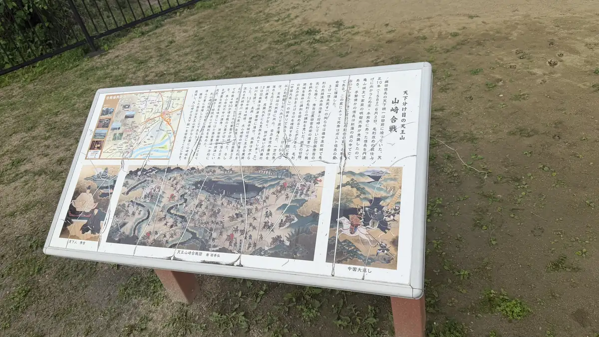
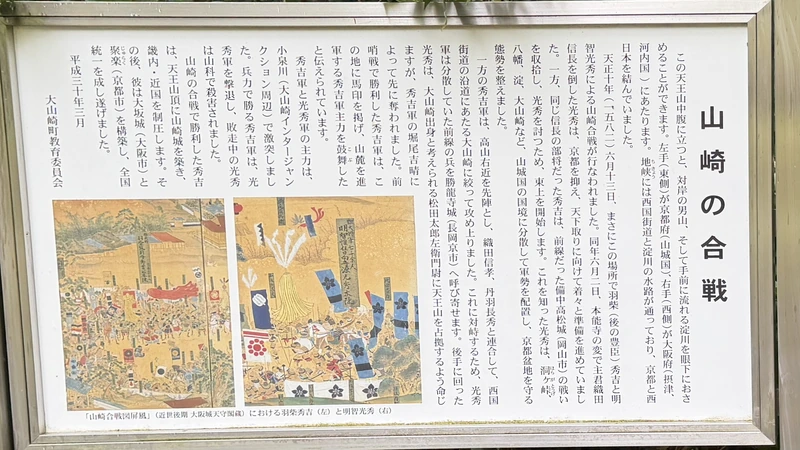
The monument stands inside Tennōzan Yume Hotaru Park, marked with signage and the stone monument itself. The monument is easy to spot, but the park around it looks like an ordinary neighborhood park — if you didn't know this was a battlefield site, it would be easy to walk past without noticing.
Tap to enlarge
The monument marks the Battle of Yamazaki in the present day — it doesn't pinpoint the exact center of what was a much wider battlefield. Pairing it with the overview map from earlier in this guide makes the relationship between the monument and the broader battlefield easier to understand.
The Koizumi River Area
Now largely built up
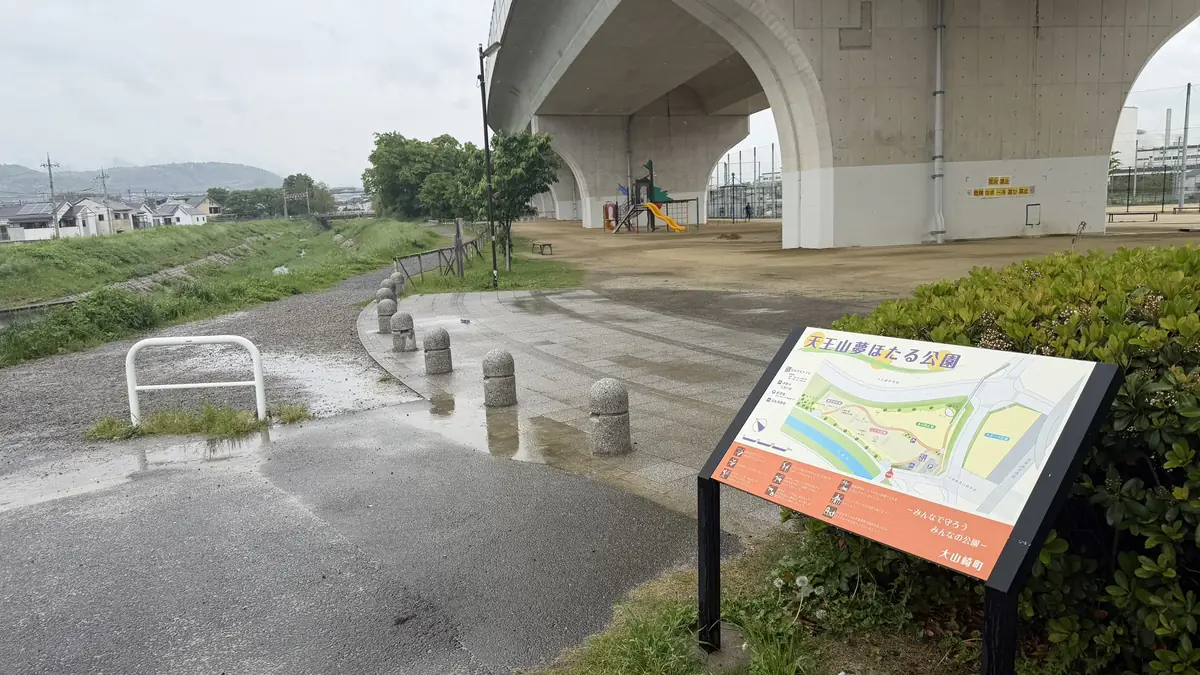
Today, the area around the monument and toward the Koizumi River is largely built up, and without prior knowledge, it's hard to tell this was once part of the battlefield. The battlefield's exact boundaries aren't firmly established, so we're not drawing a line around them here.
If you're visiting via the Flat Route, refer to the map introduced earlier in this guide.
Headquarters Candidate: Sakaino No. 1 Kofun
A candidate site for Akechi Mitsuhide's headquarters
On our visit on April 30, 2026, it took about 12 minutes to walk from the monument to Sakaino No. 1 Kofun.
Sakaino No. 1 Kofun and Igenoyama Kofun are both burial mounds later put forward as possible headquarters locations for Akechi Mitsuhide. Rather than naming one as the confirmed site, more than one theory exists side by side.
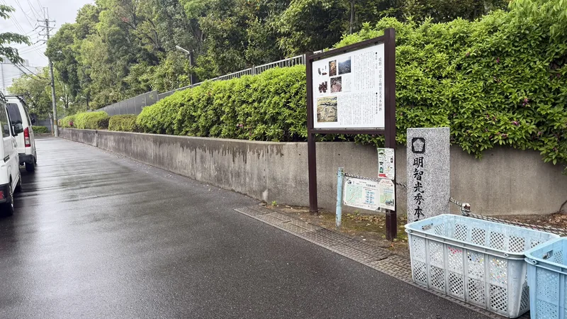
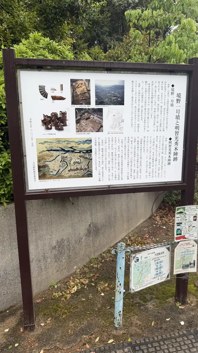
Tap to enlarge
Igenoyama Kofun
Nagaokakyo, Kyoto / part of the nationally designated Otokuni Kofun Cluster
On our visit on April 30, 2026, it took about 15 minutes to walk from Sakaino No. 1 Kofun to Igenoyama Kofun.
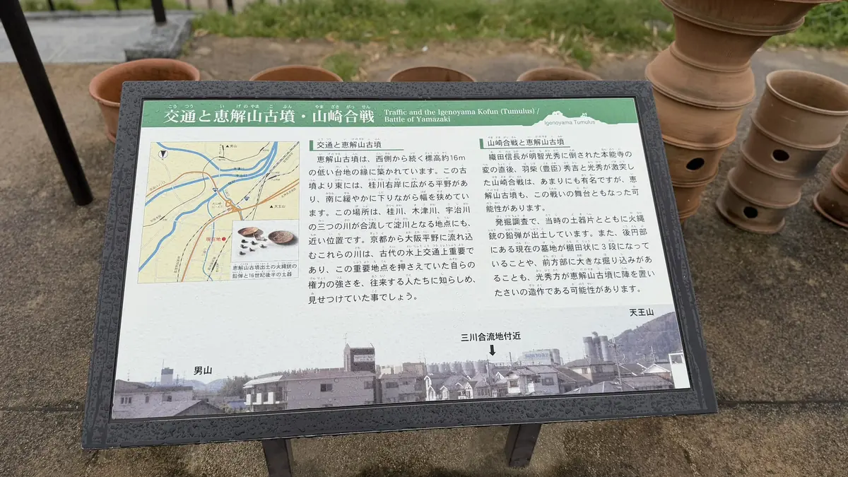
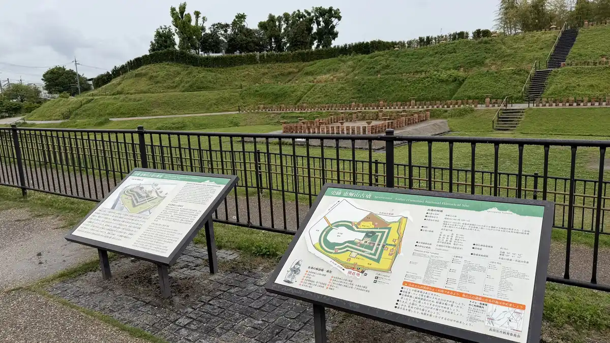
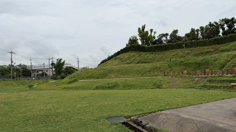
Tap to enlarge
Igenoyama Kofun is a keyhole-shaped tomb mound believed to date to the early 5th century, and at roughly 128 meters long, it's the largest in the Otokuni area. It's part of the nationally designated Otokuni Kofun Cluster. A 1980 excavation uncovered a cache of around 700 iron weapons — swords, blades, and arrowheads — a discovery notable even by national standards. The site has since been developed and opened to the public as Igenoyama Kofun Park.
In connection with the Battle of Yamazaki, both Sakaino No. 1 Kofun and Igenoyama Kofun are proposed candidates for "Gobōzuka," the site where Akechi Mitsuhide is said to have placed his headquarters. At Igenoyama Kofun, researchers have identified Sengoku-period pottery, matchlock musket balls, a moat believed to have served a defensive purpose, and traces of the mound having been reshaped into an enclosure — all of which point to possible use as a headquarters or a fortified camp. That said, the actual headquarters site isn't confirmed, and this guide doesn't take a side.
Hideyoshi's Chikara-mizu Water Point
Near the end of the Combined Route
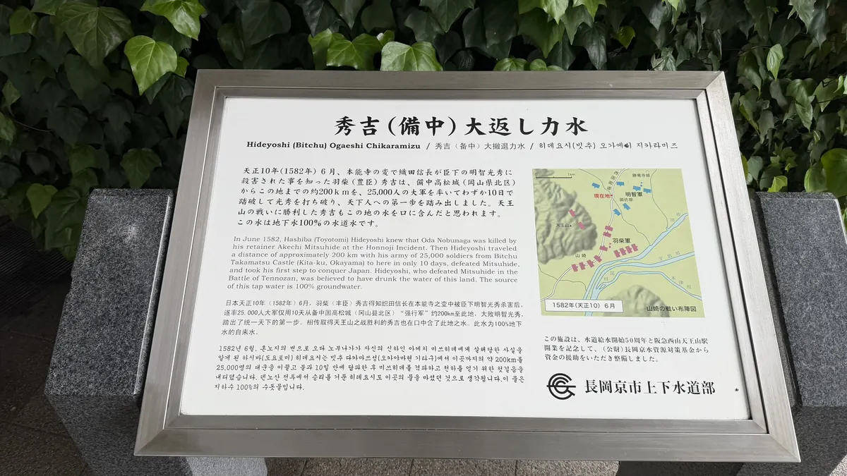
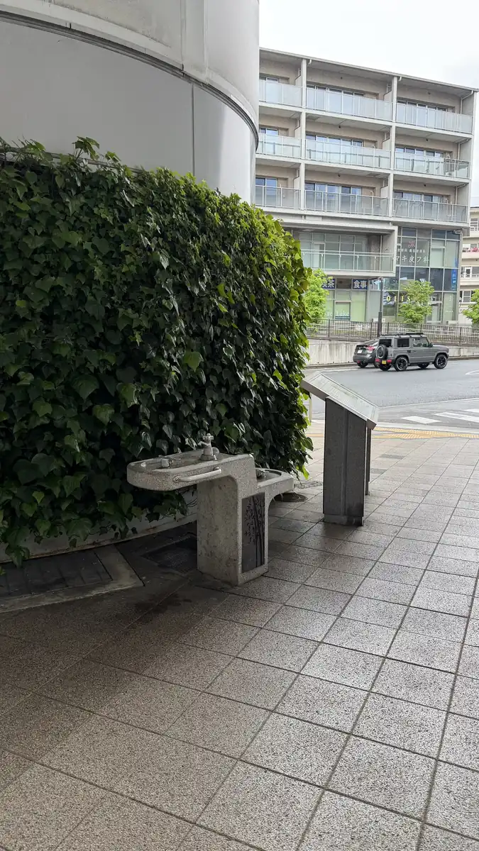
Tap to enlarge
Near the end of the Combined Route is a water point known as Chikara-mizu, or "Strength Water." Local on-site information connects it with Hideyoshi's Chūgoku Ōgaeshi — the rapid return march from western Japan. We present it here as a tradition-based related stop rather than a confirmed historical site.
To make sense of the Battle of Yamazaki, it helps to know three names and a bit of background. Japan at the time was in the Sengoku period ("Warring States period"), when regional warlords (daimyō) across the country competed for power. Oda Nobunaga was one of the most powerful of these warlords and was in the process of unifying Japan under his rule. Akechi Mitsuhide and Hashiba (later Toyotomi) Hideyoshi were both his vassals, serving under his command.
In 1582, Mitsuhide betrayed his lord and attacked Nobunaga at Honnō-ji Temple in Kyoto, forcing him to take his own life. This event is known as the Honnō-ji Incident. At the time, Hideyoshi was leading a siege at Takamatsu Castle in Bitchū Province, far to the west. On learning of Nobunaga's death, he force-marched his army back east in a maneuver known as the "Great Return." Hideyoshi moved to confront Mitsuhide near Yamazaki, where their forces clashed across the hillside of Mount Tennōzan and the flatland below. This clash is the Battle of Yamazaki.
It's often said that whichever side controlled Mount Tennōzan won the battle, but the reality isn't quite that simple — historians still debate how decisive the fight for the mountain actually was. Rather than treating Mount Tennōzan as the single deciding factor, this guide presents it as one part of a battle that spread across both the hillside and the plain below.
Hideyoshi's younger brother, Toyotomi Hidenaga, is confirmed to have taken part in the campaign, though the specifics of his role aren't well documented.
After his defeat, Mitsuhide retreated from Yamazaki toward Shōryūji Castle. What happened there is outside the scope of this guide, but if you'd like to follow Mitsuhide's story further, a separate guide to Shōryūji Castle covers that chapter.
Right after the battle, Hideyoshi built a castle at Yamazaki — the ruins covered earlier in this guide. The battle became a stepping stone toward Hideyoshi's eventual unification of Japan. Later generations popularized the Japanese expression tenka wakeme no Tennōzan, referring to Mount Tennōzan as the decisive turning point in the struggle for power. The expression itself developed later and was not a contemporary name for the battle.
About the Traditions and Estimated Sites in This Guide
This guide includes several local traditions and estimated locations. None of these are established historical fact — they're presented as traditions or candidate sites.
- The tradition that Hideyoshi raised his flag at Hatatatematsu Pine
- The "one-night pagoda" tradition at Hōshaku-ji Temple's three-story pagoda
- Sakaino No. 1 Kofun and Igenoyama Kofun as candidate sites for Akechi Mitsuhide's headquarters — more than one theory exists
- The exact boundaries of the flat battlefield around the Koizumi River — multiple views exist, and we haven't drawn a fixed line
Frequently Asked Questions
No. Mount Tennōzan is the hill itself; the battlefield stretched from its slopes down across the flatland below. The Battle of Yamazaki Monument is a modern marker, and Yamazaki Castle Ruins is what's left of the fortress Hideyoshi built right after the battle. These are four distinct things, as we noted at the start of this guide.
Yamazaki Castle Ruins include the former keep platform, well remains, and earthworks and enclosures — but no reconstructed buildings and no substantial stone walls. These are remnants of the castle built after the battle, not battlefield relics from the day of the fighting itself.
No. There's no standing keep — what you'll see are earthworks, a well site, and traces of stone walls scattered through the hilltop woods.
Officially about 60 minutes to the summit, not counting stops. Add time if you want to explore the historical sites along the way — our own visit, including photography and exploring the ruins, took about 3 hours 30 minutes one-way on the Combined Route.
Yes. The Flat Route from Hankyu Nishiyama-Tennōzan Station lets you visit the Battle of Yamazaki Monument, the Koizumi River area, and Igenoyama Kofun without climbing. Keep in mind that the monument alone doesn't represent the full extent of the battlefield.
If you're interested in Sengoku-period history, the Battle of Yamazaki, or subtle, unreconstructed castle ruins, yes. If you're expecting a standing castle with a rebuilt keep, this isn't that kind of site.
There are continuous slopes, and on our rainy visit the area around the castle ruins felt especially steep and slippery. Hiking boots or trail shoes helped. Part of the summit area is private land with fragile stonework, so please stay within the areas open to visitors. Fitness and hiking experience vary, so we wouldn't call it universally easy.
Yes — both cities work as practical bases, roughly 15–30 minutes from Kyoto and 30–45 minutes from Osaka by train, plus a short walk (please recheck current train times before you go).
The Hideyoshi's Road panels along the summit route help explain the battle as you climb, though we can't confirm how complete the English-language signage is throughout the site. A map is genuinely useful here, since some of the terrain and ruins are hard to read without one.
It isn't confirmed. Sakaino No. 1 Kofun and Igenoyama Kofun are both proposed as candidate sites, but neither is established as the definitive headquarters location.
Kyoto or Osaka both work well as a base — there's no need to stay locally near Yamazaki for this visit.
It's nearby, but this guide covers the historical sites connected to the Battle of Yamazaki, not the distillery.
We can't confirm current availability. The copy pictured in this guide was purchased near Shōryūji Castle in June 2026 — not at any site covered in this guide. Please check official information before you visit.
In Summary
Mount Tennōzan, Yamazaki Castle Ruins, the Battle of Yamazaki Monument, the flat battlefield around the Koizumi River, Sakaino No. 1 Kofun, and Igenoyama Kofun each have a different historical role and character. Depending on your time and fitness, you can hike to the summit and castle ruins on the Summit Route, take the Flat Route without climbing, or combine both on the Combined Route.
We hope this guide helps you make sense of the ground the Battle of Yamazaki was fought on.
☕ Support This Site
Following the Shogun is produced through firsthand research and travel.
If this guide was helpful, your support means a lot.

You can also scan the QR code to support this site.
Related Historic Sites
After the battle, Akechi Mitsuhide retreated to Shōryūji Castle — a separate guide covers that site in more detail. We also have a hub guide tracing sites connected to Toyotomi Hideyoshi, a guide to historic sites across the Kansai region, and a guide for readers visiting because of the 2026 NHK Taiga drama "Toyotomi Brothers!"


comment