


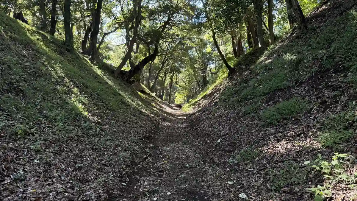
Odawara Castle Earthworks: Walking the Hojo Dry Moats, Ramparts and Hachimanyama
Beyond the rebuilt keep, the earthen castle of the Hojo clan still survives in the hills and streets of Odawara: dry moats about 12 m deep, ramparts overlooking the town, and the hill where the castle's 16th-century center is thought to have stood. This guide follows the route we walked in September 2026.
On this page
- What you can see beyond the castle park
- Our route and opening hours
- Getting there
- The sogamae: a castle that enclosed a whole town
- 1. Hachimanyama: the hill at the heart of the Hojo castle
- 2. The Sannomaru outer line: the Shinbori ramparts
- 3. The sogamae: the great trench and Hayakawaguchi
- Other sogamae remains (not visited)
- FAQ
What you can see beyond the castle park
This is not a walk to see stone walls and towers. The keep and gates in Odawara Castle Park were rebuilt after World War II to recreate the Edo-period castle. The castle that faced Toyotomi Hideyoshi's army in 1590 was different: the Hojo clan built it mainly by digging and piling up earth. Its dry moats and earthen ramparts still survive on the hills and among the houses outside the park, and this page reads that earlier castle from the landscape.
For the keep and the three reconstructed gates inside the castle park, see our companion guide, Odawara Castle Guide: Tickets, Time Needed and Lunch at Seikantei.
A few terms help. A kuruwa is a fortified enclosure. A horikiri is a trench cut across a ridge to block the way along it. The sogamae was the ring of moats and earthen walls that enclosed the castle and its entire town. The sites fall into three groups. We walked to all of them from Odawara Station (小田原駅), which is about 30 minutes from Shinagawa Station in Tokyo by Tokaido Shinkansen.
16th-century core
Hachimanyama East Enclosure
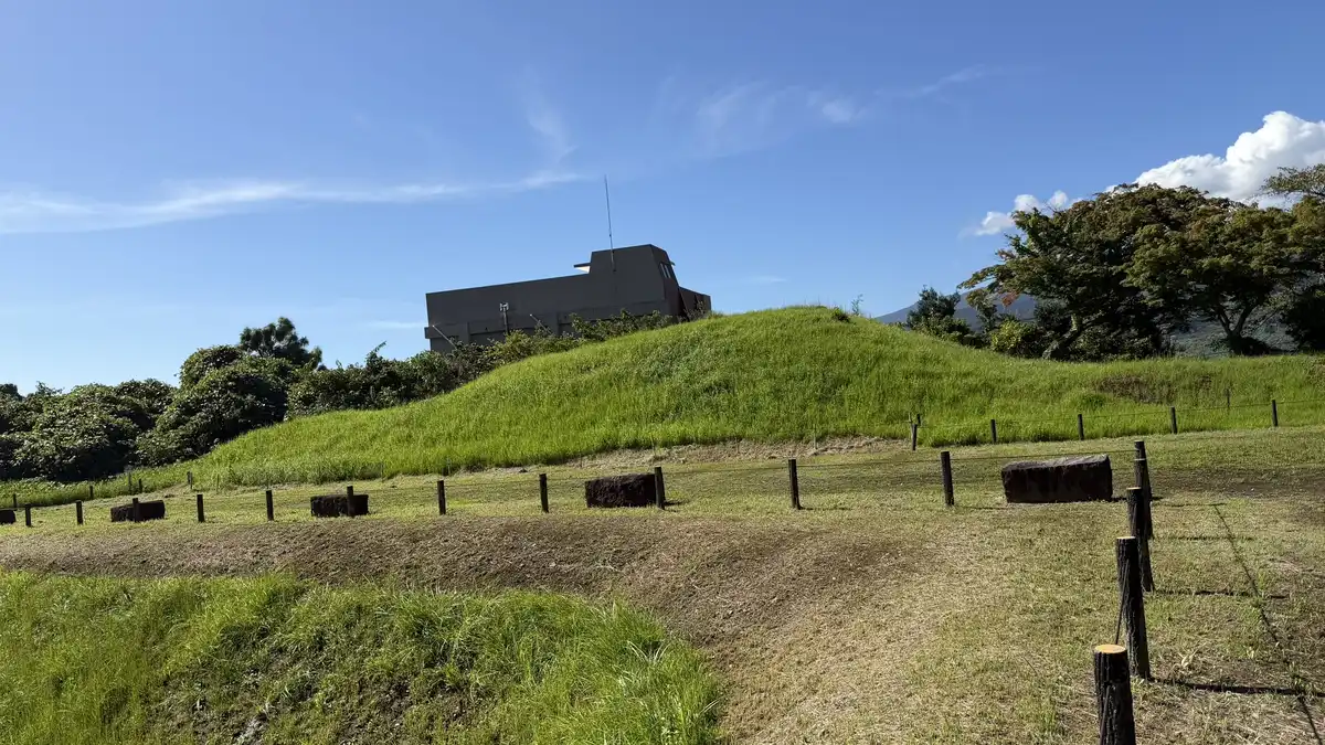
A hilltop west of the keep where remains of the Hojo-era castle are concentrated. The East Enclosure is a grassy terrace with surviving earthen walls.
Outer defensive line
Sannomaru Shinbori Ramparts
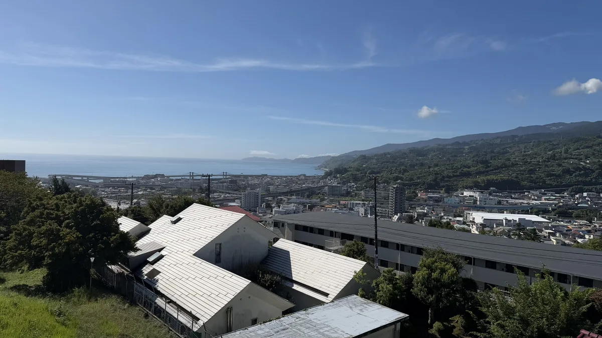
Earthen ramparts and a moat on a hilltop, part of the castle's outer line inside the sogamae and overlapping it in places. Views over the town and Sagami Bay.
The town-wide ring
The great trench and Hayakawaguchi
Remains of the sogamae: a huge trench cut through a ridge, and a lowland entrance defended by a double line of ramparts and moats.
The hills and the lowlands feel very different on foot. From Hachimanyama to the great trench and the Shinbori ramparts, you are mostly walking uphill. Hayakawaguchi lies on flat ground in a residential area near the sea. We walked the hills in the morning and, after lunch at Seikantei, the lowland sites in the afternoon.
| Hills only | Hachimanyama East Enclosure → Komine Okanenodai great trench → Sannomaru Shinbori ramparts. Mostly uphill. The Shinbori ramparts are open only 10:00–16:00, so time your start to arrive within those hours. |
|---|---|
| Lowlands only | The Sannomaru rampart at Seikantei → Hayakawaguchi → the Otemon Gate site. A flat walk through residential streets, starting from the south side of the castle park. |
| Both | On September 22, 2026, we covered both in one day. Combined with the keep and lunch at Seikantei, it makes a full day. |
Our route and opening hours
Here is the order in which we walked on September 22, 2026. The paths up to the great trench were well maintained. The hard part was the heat.
Climb the Hachimanyama hill west of the keep. The East Enclosure is a grassy terrace with a view of the keep over the rooftops.
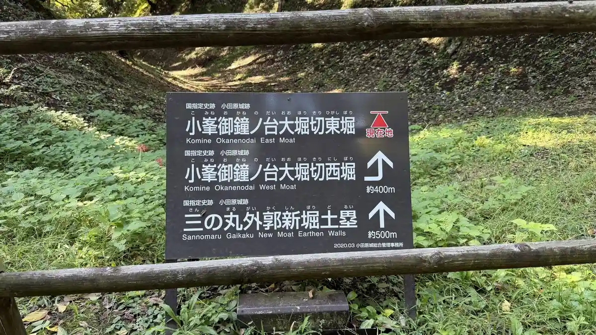
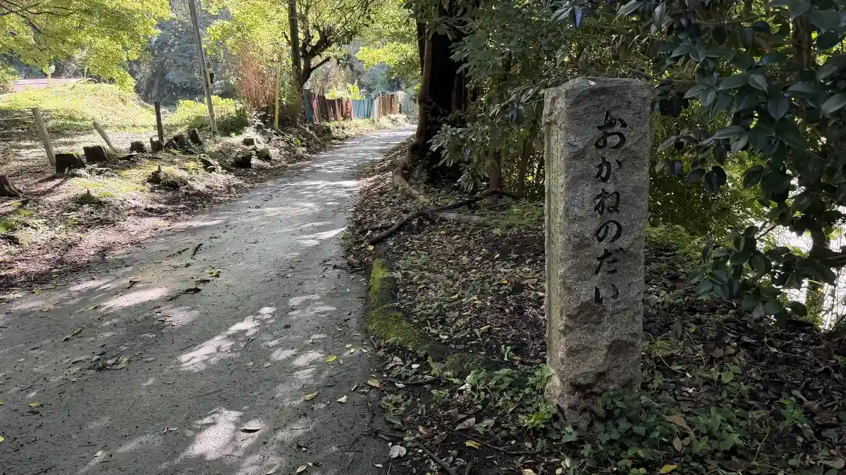
Follow residential slopes past Okubo Shrine to a park on the ridge. Signposts along the way point to the great trench; look for 「小峯御鐘ノ台大堀切」.
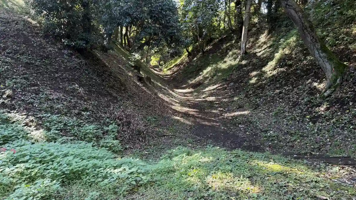
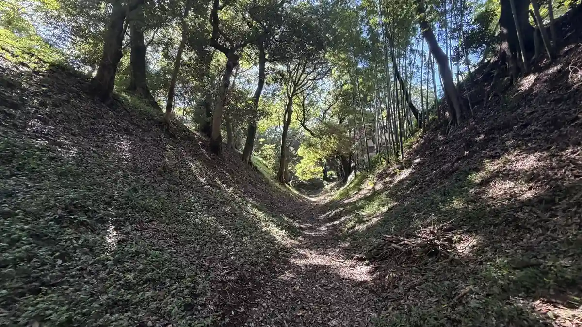
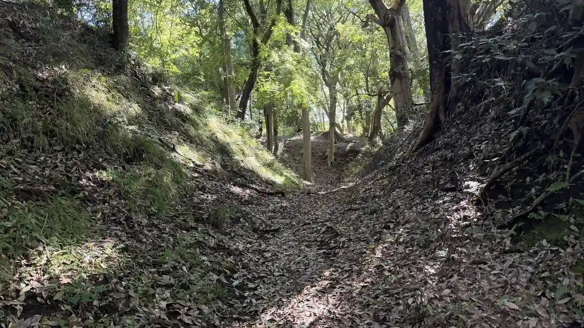
A footpath runs along the floor of the trench, between steep slopes on both sides.
From the top of the ramparts you look over Sagami Bay. Plan to arrive during opening hours.
Seikantei, on a low hill south of the castle park, stands on a surviving rampart of the Sannomaru enclosure. From there we walked down toward the sea to Hayakawaguchi, then returned past the Otemon Gate site on the old Tokaido road.
Getting there
Every site on this page can be reached on foot from Odawara Station. The route splits into a hill section (Hachimanyama, the great trench and the Shinbori ramparts) and a lowland section (Hayakawaguchi and the old gate sites), so it helps to decide in advance which one you'll walk.
Getting to the earthworks
| Nearest station | Odawara Station (JR Tokaido Line JT16 / Odakyu Odawara Line OH47) |
|---|---|
| From Tokyo | About 30 minutes by Tokaido Shinkansen from Shinagawa Station |
| Hill section (Hachimanyama, the great trench, the Shinbori ramparts) | On foot from Odawara Station. The Odawara Tourism Association lists the walk to the Komine Okanenodai great trench as about 25 minutes from the station. Expect uphill walking |
| Lowland section (Hayakawaguchi, the old gate sites) | On foot through flat residential streets, starting from the south side of the castle park |
| Recommended transport | Walking. Don't plan around a regular bus service for either section; base your plan on walking from the station or the castle park |
| Parking | No general parking at any of the sites; use nearby paid parking |
| Notes | The hill section is mostly uphill, so come prepared for heat in warmer months. The Sannomaru Shinbori ramparts keep limited hours (10:00–16:00, confirmed September 23, 2026) |
The sogamae: a castle that enclosed a whole town
Odawara Castle is thought to have grown out of a fortification the Omori family built around the mid-15th century. Toward the end of that century, Ise Sozui, better known as Hojo Soun, is said to have taken it from the Omori, though the exact date is disputed. From his son Hojo Ujitsuna onward, Odawara Castle became the base of the Odawara Hojo clan, and for five generations the Hojo ruled much of the Kanto region, the plain around present-day Tokyo, from here.
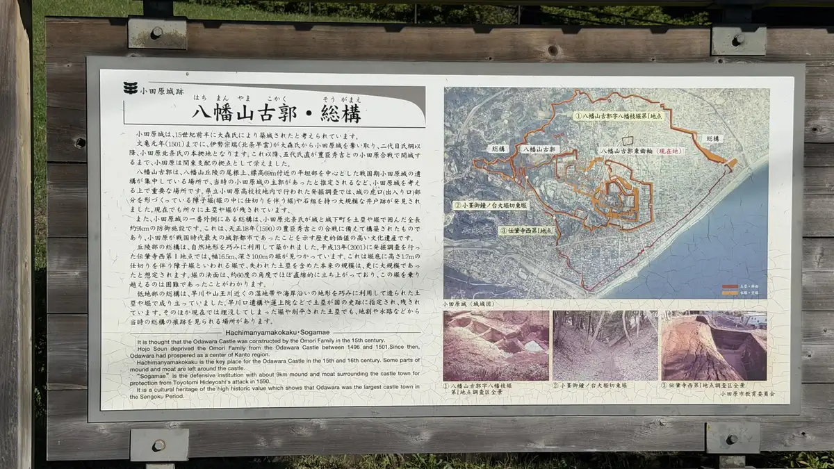
The center of the 16th-century castle is thought to have been on the Hachimanyama hills, west of today's castle park. To prepare for war with Toyotomi Hideyoshi, the warlord then unifying Japan, the Hojo surrounded the castle and the whole town with moats and earthen walls. This ring, the sogamae, ran for about 9 km. An information board on site describes it as evidence that Odawara was the largest fortified castle of the Warring States period.
The builders made clever use of the terrain: deep trenches cut through the ridges in the hills, and ramparts and moats that follow rivers and the coast in the lowlands. In 1590 Hideyoshi's army surrounded Odawara, and after about three months the Hojo surrendered. The castle was later rebuilt as an Edo-period castle under the Okubo family, retainers of Tokugawa Ieyasu, and it is that castle the keep and gates in today's park recreate.
1. Hachimanyama: the hill at the heart of the Hojo castle
Hachimanyama East Enclosure (八幡山古郭 東曲輪)
A 16th-century enclosure saved by local residents, with a view of the keep
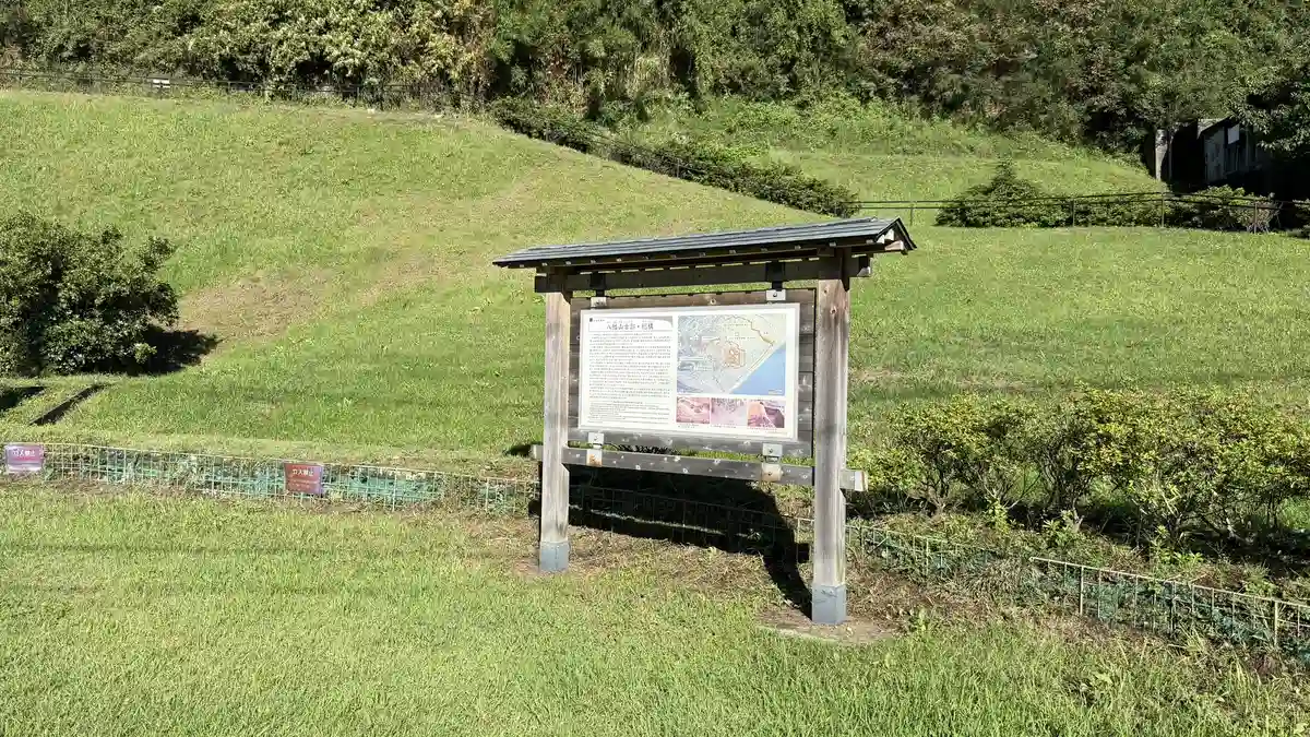
Hachimanyama is a hill ridge west of the castle park. Remains of the Hojo-era castle are concentrated around its flat top, about 60 m above sea level, and the castle's center at the time is thought to have been here. Excavations on the grounds of a high school on the hill have found part of a castle entrance, a moat divided by internal ridges (a shoji-bori) and a large well.
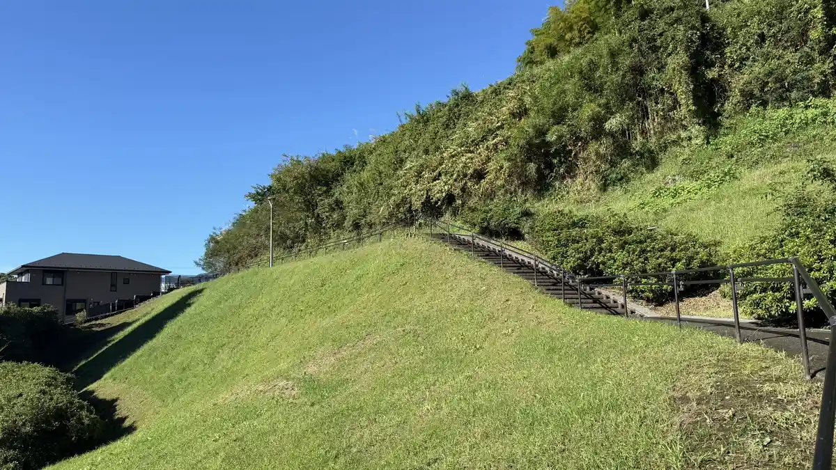
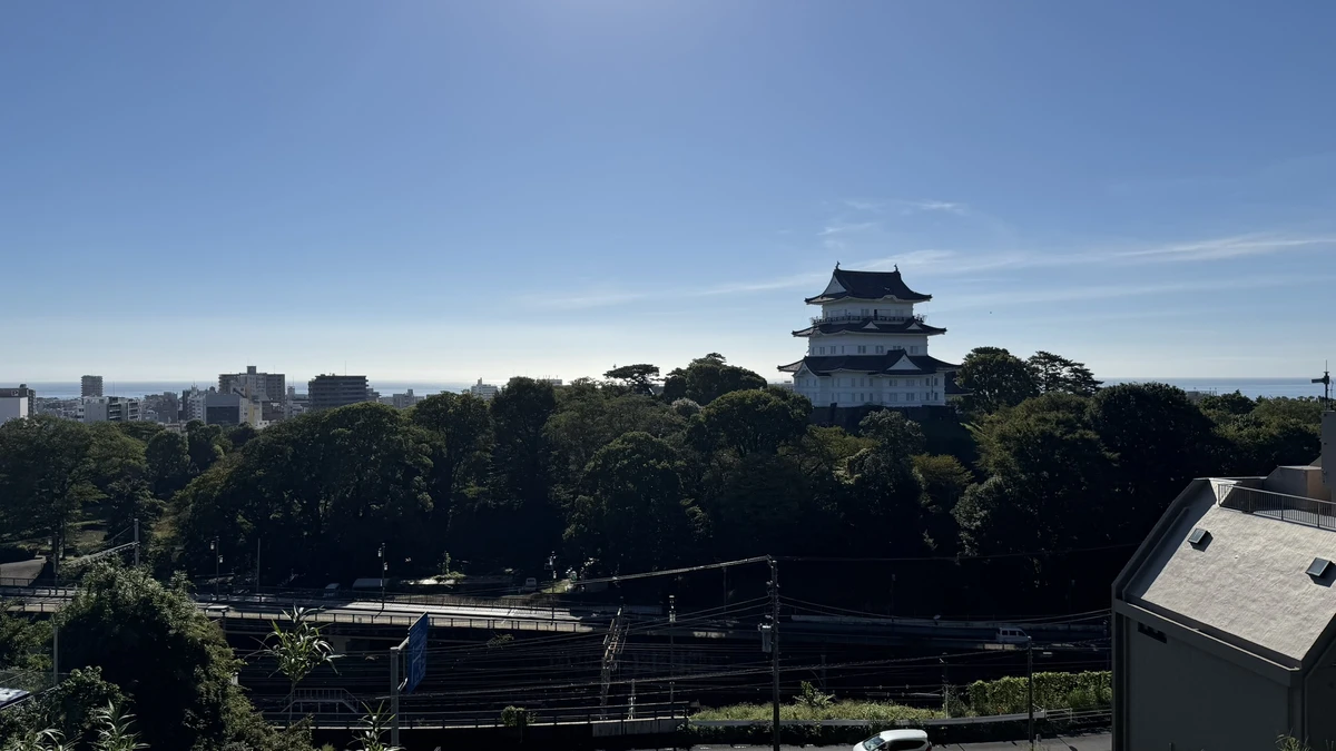
At the East Enclosure, excavations in 2005 confirmed remains from the 16th century. According to the information board, an apartment-building plan for the site prompted the survey; a local conservation campaign then brought the land into public ownership, and it became a National Historic Site in 2006. On our visit on September 22, 2026, the keep was clearly visible across the rooftops from the edge of the terrace, and the board's panorama also marks the direction of Ishigakiyama, Hideyoshi's 1590 siege castle.
Highlights
- The earthen walls around the enclosure
- The keep seen across the town
- An information board mapping Hachimanyama and the sogamae
Photos
Tap an image to enlarge
Map
2. The Sannomaru outer line: the Shinbori ramparts
Sannomaru Shinbori Ramparts (三の丸外郭新堀土塁)
Hilltop earthworks looking down on the town and out to Sagami Bay
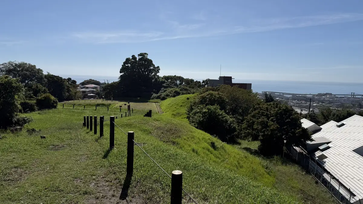
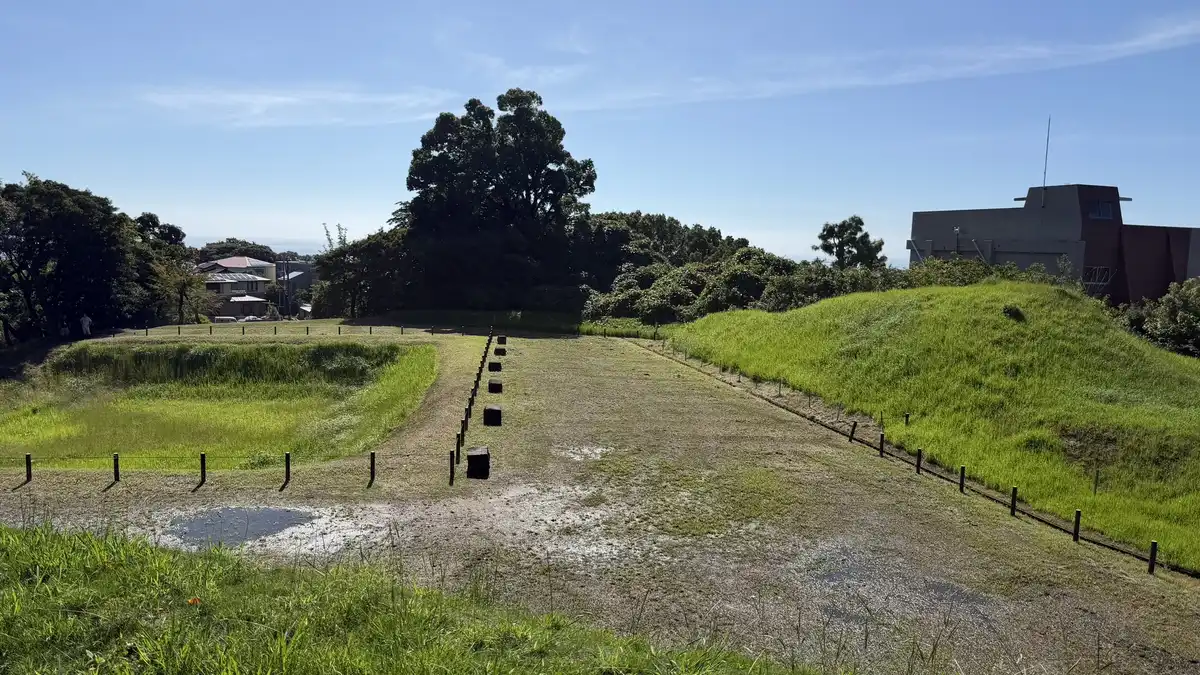
This is where the moat known as the Shinbori, or "new moat," and its earthen ramparts survive most clearly. They formed the outer defensive line of the Sannomaru, the castle's outer enclosure, just inside the sogamae and overlapping it in places. A path follows the top of the ramparts, so you can see the height difference between moat and wall as you walk.
The view is wide open. On our visit on September 22, 2026, one side looked down over the rooftops of the town, and the other toward Sagami Bay. The keep itself is not visible from here, but standing on the rampart, it is clear that the town's defensive line sat higher than the honmaru, the central enclosure where the keep stands today.
Highlights
- The height difference between moat and rampart
- The town rooftops seen from the rampart
- Sagami Bay from the hilltop
Photos
Tap an image to enlarge
Visitor information
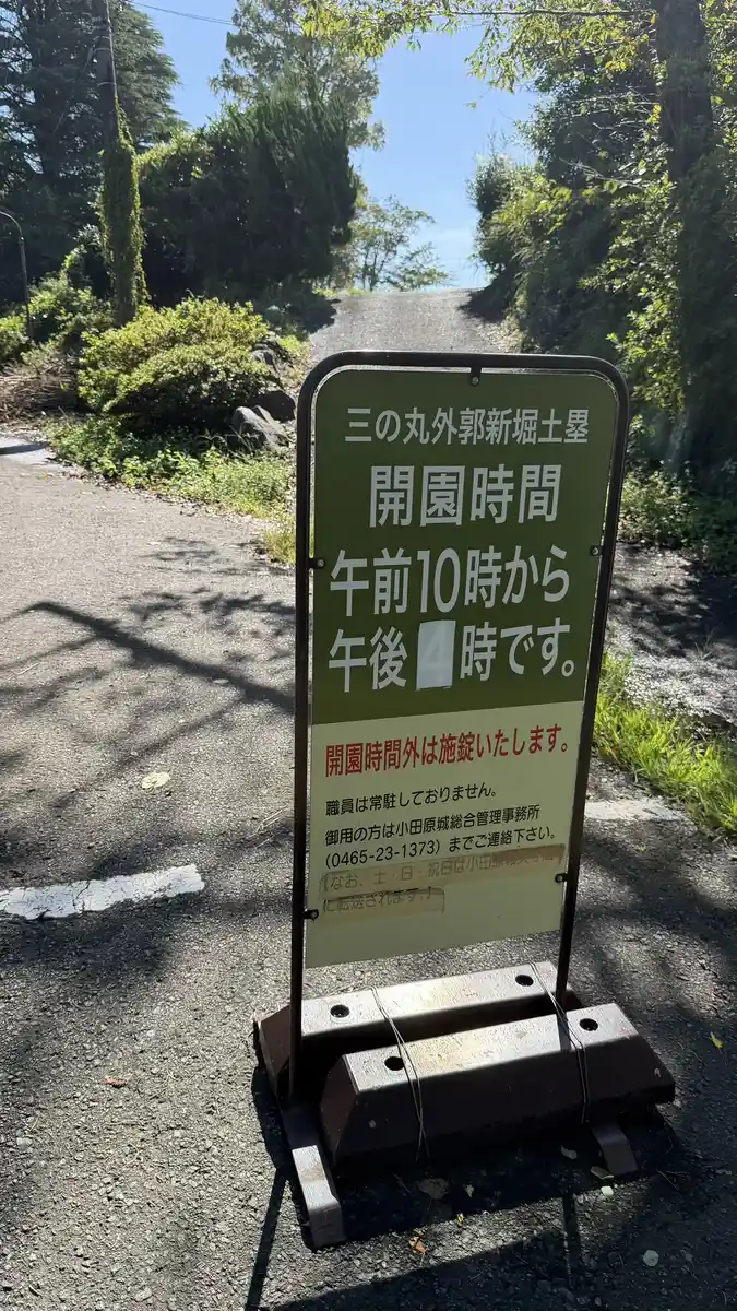
| Hours | 10:00–16:00 (times may vary); locked outside these hours |
|---|---|
| Closed | December 29–January 3 |
| Notes | No bicycles or motorbikes. Reopened on June 2, 2025, after repairs following typhoon damage |
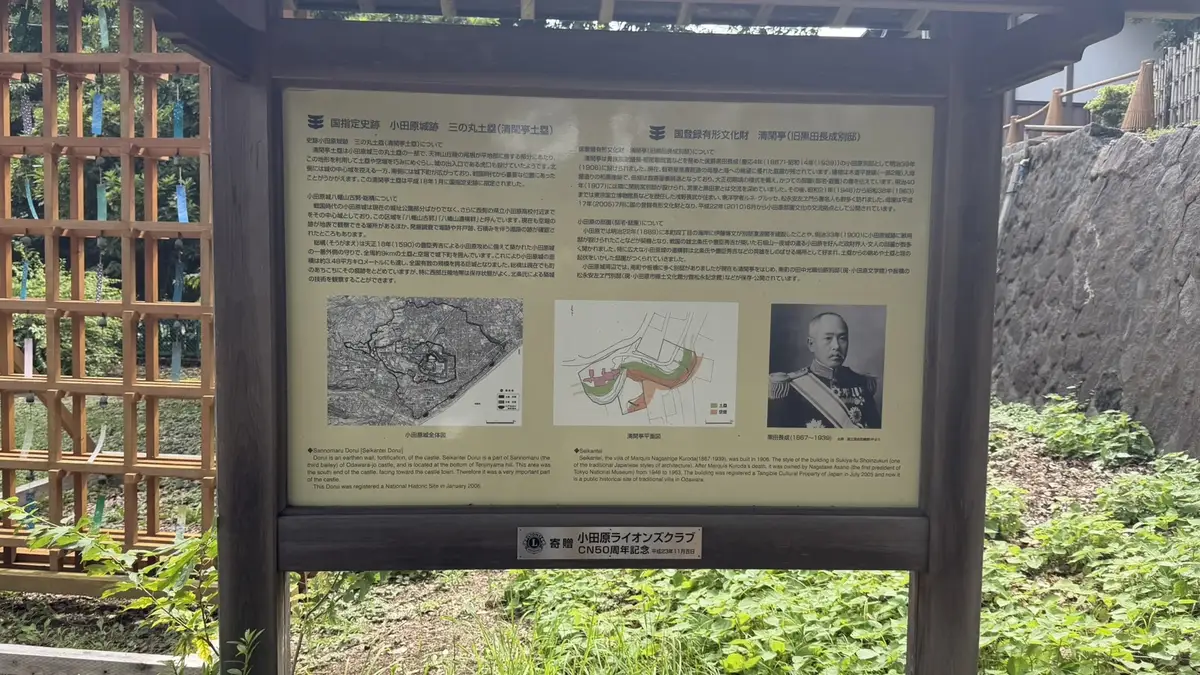
Another stretch of the Sannomaru rampart survives south of the castle park. Seikantei, the villa of Kuroda Nagashige, stands on part of it, and the grounds became a National Historic Site in 2006. A board in front of the villa describes both the rampart and the house.
3. The sogamae: the great trench and Hayakawaguchi
Komine Okanenodai Great Trench, East Moat (小峯御鐘ノ台大堀切 東堀)
A 280 m dry moat cut through a ridge
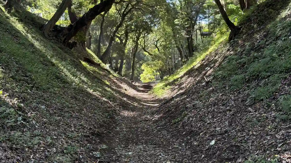
In the 16th century, the castle's defenses reached their highest point at Komine Okanenodai (123.8 m) and ran for about 9 km around the town. Because this ridge continues toward the Hakone mountains, the Hojo cut huge trenches across it to block anyone approaching along the top. Three survive, known today as the East, Middle and West moats.
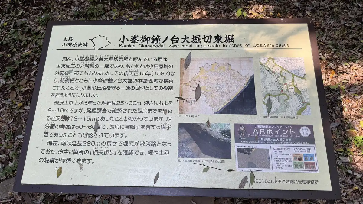
According to the board on site, the East moat was originally part of the Sannomaru's Shinbori moat. From 1587 the Middle and West moats were dug along with the sogamae, turning the three into one continuous defense. Measured from the top of today's ramparts, the moat is 25–30 m wide and about 8–10 m deep; excavations showed it was 12–15 m deep to its original floor. Internal ridges on the moat floor (a shoji-bori) have also been found.
About 280 m of the East moat survives, and its floor is now a footpath. Down in the trench, the slopes rise high above you on both sides, and the scale is hard to capture in photos. At two points along the way you can see yokoya-gakari, bends in the moat line that let defenders shoot at attackers from the side.
Highlights
- The steep slopes seen from the footpath on the moat floor
- Two yokoya-gakari bends in the moat line
- Information boards showing where the three trenches run
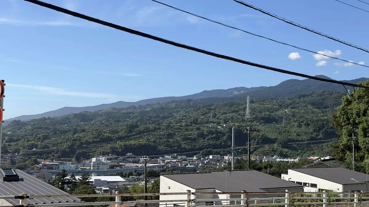
- Views toward the Hakone mountains from the ridge
Photos

Tap an image to enlarge
Map (east moat)
Hayakawaguchi Remains (早川口遺構)
A sogamae entrance guarded by a double line of ramparts and moats
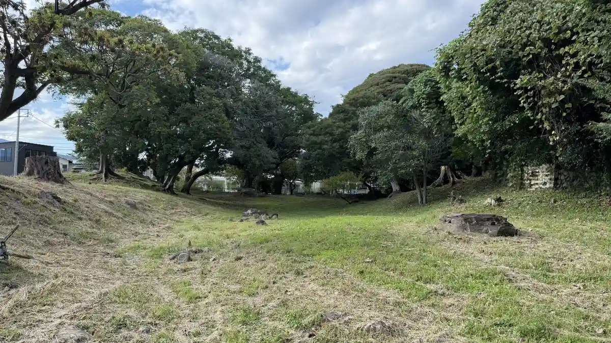
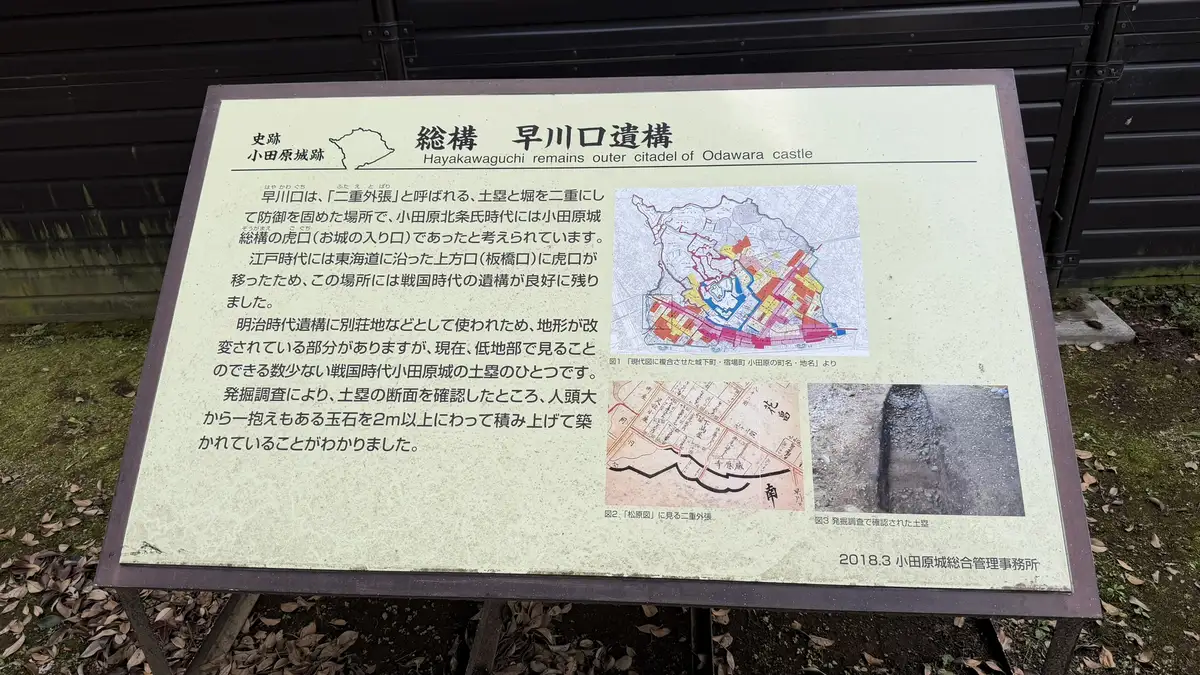
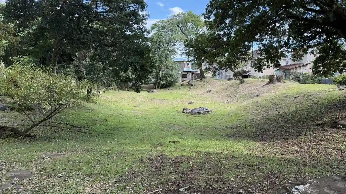
On flat ground near the sea, a grassy hollow and a raised earthen bank appear suddenly among the houses. Hayakawaguchi was defended by a double line of ramparts and moats, a layout called futae-sotobari, and in the Hojo era it is thought to have been a gateway through the sogamae.
In the Edo period the entrance moved to the Kamigata-guchi (Itabashi-guchi) gate on the Tokaido road, which is why the 16th-century earthworks here survived so well. The land was later used for villas from the Meiji era, which altered some of it, but this is one of the few Hojo-era ramparts you can still see in the lowlands. Excavations showed that the rampart was built by piling up rounded stones, from head-sized to armful-sized, more than 2 m high.
Tap an image to enlarge
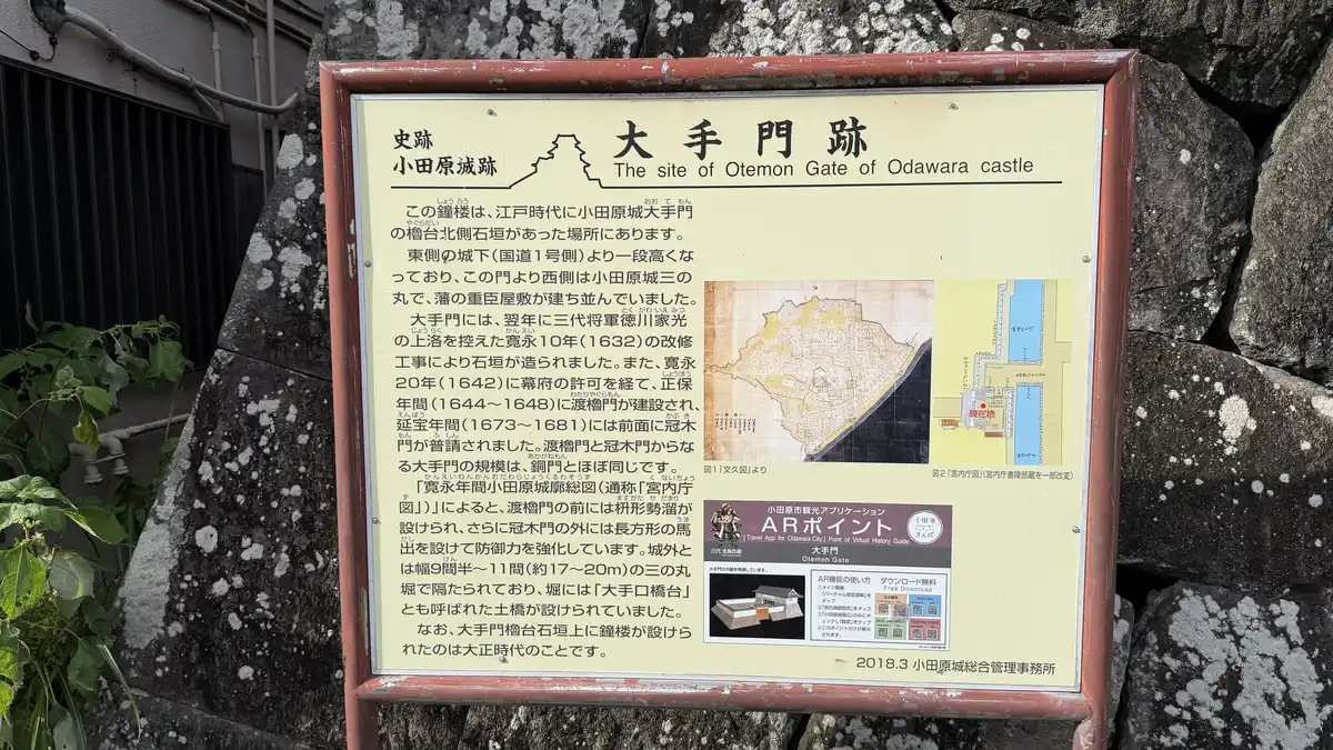
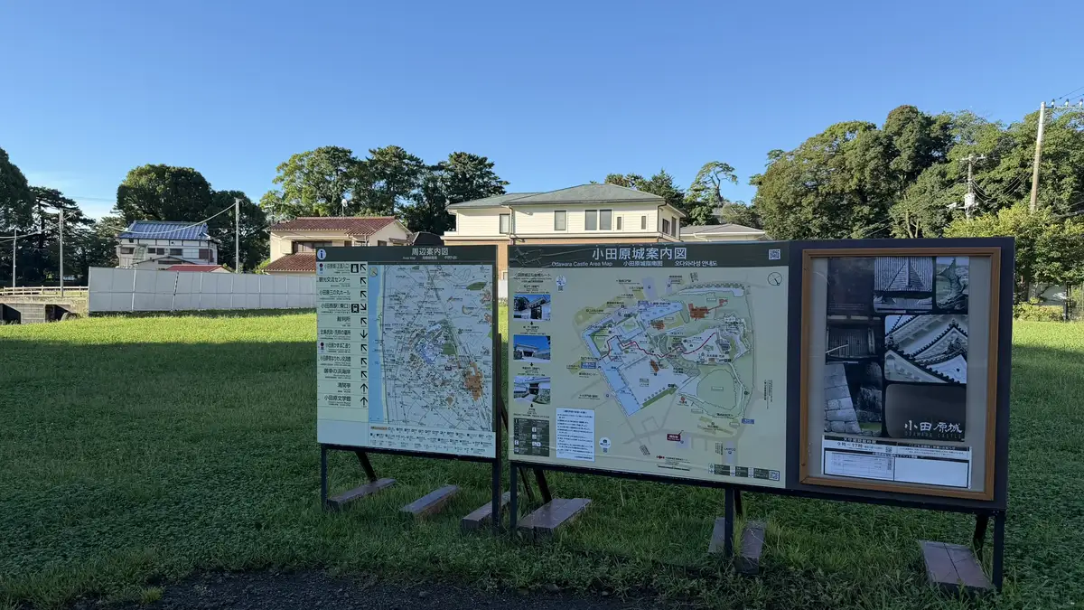
On the way back through the lowlands, we also passed two gate sites of the later Edo-period castle. At the Otemon (main gate) site on the old Tokaido road, a bell tower built in the Taisho era (1912–1926) stands on the stone base of the gate's turret. The Koda-guchi gate site near the station, once an entrance to the Sannomaru, is now a small open space with a stone monument and a board. Both belong to the Edo-period castle, not to the Hojo sogamae.
Tap an image to enlarge
After walking both the park and the earthworks, what stayed with us was how far the defenses reached. The area is quiet housing today, and it is hard to picture the effort that went into preparing it for war. The trenches and moats are much deeper in person than they look in photos, and only standing in them do you really feel their size.
Other sogamae remains (not visited)
Other stretches of the sogamae survive around the city. We did not walk them on this trip, but here are maps and short descriptions, based mainly on the City of Odawara's information, to help you locate them.
Joka Haridashi (城下張出)
A section of the sogamae built to jut outward, using the lie of the land, so that defenders could attack enemies at the wall from the side.
Yamanokami Trench (山ノ神堀切)
A trench cut to control movement along the Yatsu hills. Its north end connects with the sogamae moat.
Inari-mori (稲荷森)
Described as one of the best-preserved parts of the sogamae, where the moat can be seen curving with the terrain.
Edoguchi Mitsuke (江戸口見附)
Said to be the site of the gate on the east side of the sogamae, where the Tokaido road from Edo (Tokyo) entered the town.
Renjoin Rampart (蓮上院土塁)
Part of the sogamae built by the Hojo ahead of Hideyoshi's 1590 attack on Odawara.
FAQ
It was a ring of moats and earthen walls, about 9 km long, that the Hojo clan built around the castle and the whole town to prepare for Toyotomi Hideyoshi's attack in 1590. Parts of it survive around the city, including the great trench in the hills and the Hayakawaguchi remains in the lowlands.
No. All the sites on this page are outdoor historic sites with no admission fee (confirmed against the City of Odawara's official information on September 23, 2026). The Sannomaru Shinbori ramparts, however, are open only 10:00–16:00 (times may vary), are locked outside those hours, and close from December 29 to January 3.
Yes. About 280 m of the East moat at Komine Okanenodai survives, and its floor is a footpath. On our visit, the paths leading to it were well maintained.
The hill section from Hachimanyama to the great trench and the Shinbori ramparts is mostly uphill. On our visit (September 22, 2026) it was close to 30°C during the day, and the heat was harder than the paths. Carry water and walk in the cooler part of the day. The Hayakawaguchi area is flat.
The keep and gates in the park are post-war reconstructions of the Edo-period castle. The sites on this page are the earthen moats and ramparts of the earlier Hojo castle, and no buildings survive on them. They let you read the size of the 16th-century castle from the landscape, before it became a stone-walled castle.
The Odawara Tourism Association gives it as about 25 minutes on foot from Odawara Station, mostly uphill through residential streets. We stopped at the Hachimanyama East Enclosure on the way, and the paths up to the trench were well maintained.
From the Hachimanyama East Enclosure, yes: on our visit on September 22, 2026, the keep was clearly visible across the rooftops. It cannot be seen from the Sannomaru Shinbori ramparts, which look out over the town and toward Sagami Bay instead.
Related Pages
☕ Support This Site
Following the Shogun is built on original fieldwork and on-site research.
If you found this guide useful, your support helps keep it going.

You can also support via QR code


comment