


Tagamiyama Fort Ruins & Kinomoto Jizo-in: Walking in the Footsteps of Hideyoshi and Hidenaga
This walking route links two sites from the 1583 Battle of Shizugatake, in the Kinomoto district of Nagahama City, in northern Shiga Prefecture — the old Omi Province encircling Lake Biwa, roughly 1 to 2 hours from Kyoto or Nagoya by train, depending on the service and connections. The route starts at Kinomoto Jizo-in, a working Buddhist temple in the town center near JR Kinomoto Station, continues to Ohofura Shrine, and climbs into the hills to Tagamiyama Fort Ruins, the earthen field fortification where Toyotomi Hideyoshi's younger brother, Toyotomi Hidenaga, is said to have held his command post. The first half is flat streets through a residential neighborhood; past the shrine, the path switches to an unpaved mountain trail, and your footwear needs to change with it. This guide covers train access from major cities, what to wear on the trail, the actual time we recorded for each stage, and how to read the earthworks — ramparts, dry moats, and fortified gateways — still visible on site.
In This Guide
What This Guide Covers (Quick Take)
| Best for | Anyone interested in Sengoku-period castles and history — especially fans of the 2026 NHK taiga drama who want to see a real site connected to Toyotomi Hidenaga |
|---|---|
| Not ideal for | Visitors with mobility concerns, or anyone who can't bring shoes and clothing suited to an unpaved mountain trail |
| Starting point | JR Kinomoto Station (JR-A05, JR Hokuriku Main Line) |
| Route character | Flat town streets from the station to the temple and shrine; an unpaved mountain trail beyond that |
| Time needed | About 1 hr 40 min, including time at the temple, shrine, and fort ruins (breaks and the walk back to the station not included) |
| What's at the fort | No standing buildings — the main enclosure, sub-enclosures, ramparts, dry moats, and gate approaches survive as earthworks |
| Temple-only visit | About 6 minutes on foot from the station; you can skip the fort hike entirely |
Temple Only, or the Full Hike to the Fort?
Kinomoto Jizo-in is about a 6-minute walk (one way) from Kinomoto Station. If you'd rather not hike up to the fort ruins, you can visit the temple and head back to the station from there — a temple-only visit means you never need to set foot on the unpaved mountain trail.
Beyond Ohofura Shrine, though, the path turns to dirt: gravel, bare earth, and slopes covered in fallen leaves. It wasn't raining during our visit, but trail conditions can change with the weather, so hiking shoes and clothes you don't mind getting dirty are worth bringing. This stretch isn't recommended if you have any mobility concerns.
On our visit in late April 2026, the trail had few branching points and was easy to follow without getting lost. That said, both Kinomoto Jizo-in and Ohofura Shrine sit within a residential neighborhood, so if it's your first time in the area, it's worth keeping a map app open on the walk there.
Access & Section Times
The nearest station is JR Kinomoto Station, on the JR Hokuriku Main Line. If you're coming from farther away, Maibara Station — a stop on the Tokaido Shinkansen — is the most practical transfer point. Every train on this route is operated by JR: the Tokaido Shinkansen (run by JR Central) as far as Maibara, then local JR West trains from there — no private railways are involved, which keeps ticketing simple. Note that Maibara, Nagahama, and Hikone are three separate stations in Shiga Prefecture, each useful in a different way below, so it's worth not mixing them up when planning your route.
Access
| Nearest station | JR Kinomoto Station (JR-A05), JR Hokuriku Main Line |
|---|---|
| Practical shinkansen gateway | Maibara Station, a stop on the Tokaido Shinkansen. From Maibara, it's about 25 minutes to Kinomoto Station on the JR Hokuriku Main Line |
| From Nagoya Station | About 1 hr 10 min–1 hr 30 min via the Tokaido Shinkansen, changing trains at Maibara |
| From Kyoto Station | About 1 hr 20 min–1 hr 45 min by JR; depending on the train, you'll connect either via Maibara or via the Kosei Line around the west side of Lake Biwa |
| From Osaka Station | About 2 hours, depending on the train and connections |
| From Tokyo Station | About 2 hr 45 min–3 hours via the Tokaido Shinkansen, changing trains at Maibara |
| From Maibara Station | About 25 minutes, no transfer, on the JR Hokuriku Main Line |
| From Nagahama Station | About 14 minutes, no transfer, on the JR Hokuriku Main Line |
| From Hikone Station | About 40–45 minutes by JR; some trains run direct, others require a change at Maibara |
| Station to Kinomoto Jizo-in | About 6 minutes on foot, through a residential neighborhood |
| Difficulty getting around | Flat residential streets from the station to the temple; beyond Ohofura Shrine, the route continues on an unpaved mountain trail |
| Recommended transport | Train plus walking — flat streets from the station to the temple, then continue on foot along the unpaved trail to the fort |
| By car | About 5 minutes from Kinomoto Interchange |
| Parking | The temple's lot holds about 30 cars and is intended for temple visitors |
| Temple reception hours | 8:00 am–5:00 pm, open year-round (confirmed late April 2026) |
| Notes | Hiking shoes and appropriate clothing are needed for the unpaved trail to Tagamiyama Fort. Some facilities, such as the temple garden, may be closed to the public — check before you go |
| Station → Kinomoto Jizo-in | About 6 min on foot |
|---|---|
| Time at Kinomoto Jizo-in | 17 min |
| Kinomoto Jizo-in → Ohofura Shrine | 10 min |
| Time at Ohofura Shrine | 8 min |
| Trailhead → Kaminomiya Shrine Ruins | 14 min |
| Kaminomiya Shrine Ruins → Tagamiyama Fort | 7 min |
| Time at Tagamiyama Fort | 20 min |
| Tagamiyama Fort → Ohofura Shrine (downhill) | 20 min |
| Total | 1 hr 42 min |
Adding up each section, our total came to 1 hr 42 min. That figure isn't pure walking time — it includes 17 minutes at Kinomoto Jizo-in, 8 minutes at Ohofura Shrine, and 20 minutes at Tagamiyama Fort. Add extra time for breaks, photos, and the walk back from Ohofura Shrine to the station (we didn't time the return trip on this visit), and build some buffer into your plans.
If you're driving, Kinomoto Jizo-in is about 5 minutes from Kinomoto Interchange, and the temple has parking for around 30 cars. That lot is intended for temple visitors — this guide doesn't address whether it's appropriate to use as a base for hiking up to Tagamiyama Fort.
The map above shows the route from Kinomoto Station to Kinomoto Jizo-in, Ohofura Shrine, the Kaminomiya shrine ruins, and on to the main enclosure of Tagamiyama Fort. It marks where the paved town streets give way to the mountain trail, so it's worth a look before you set out.
Stay & Route Planning
Where to Stay Nearby: Maibara, Hikone, or Nagahama
If you'd like a wider choice of accommodation, Maibara, Hikone, and Nagahama are practical bases to compare, depending on how you're traveling.
Maibara
Maibara Station is a stop on the Tokaido Shinkansen, so it's a convenient base if you're continuing on to other parts of Japan by bullet train. It's about 25 minutes from Kinomoto Station on the JR Hokuriku Main Line, with no train change required.
Hikone or Nagahama
If you'd like to combine this trip with other historic sites, Hikone (home to Hikone Castle) and Nagahama (home to Nagahama Castle) are both worth considering. Nagahama Station is about 14 minutes from Kinomoto Station with no change; Hikone is about 40–45 minutes by JR.
Hideyoshi and Hidenaga: Two Command Posts
In 1583, a year after Oda Nobunaga's death, his former generals fought for control of his territory at the Battle of Shizugatake, near the northern shore of Lake Biwa. Toyotomi Hideyoshi's forces built several field fortifications around Kinomoto and Shizugatake for the 1583 campaign. Tagamiyama Fort is described as the command post held by Hideyoshi's younger brother, Toyotomi Hidenaga, who directed its defense.
The area around Kinomoto Jizo-in (also known by its formal temple name, Jōshin-ji) is believed, based on surviving historical documents, to have been near the location of Hideyoshi's headquarters. This isn't an officially confirmed historic site — it's a location scholars have inferred from the documentary record, and it's worth keeping that distinction in mind as you walk.
Walking from the temple in town to the fort in the hills gives you a physical sense of the distance between the two locations associated with the brothers' command posts. What you see on site today isn't the buildings themselves, but the earthworks that defined the defenses — ramparts, dry moats, and fortified gateways, cut and piled from the hillside itself.
Genbao Castle Ruins, where Hideyoshi's rival Shibata Katsuie based his own headquarters during the same battle, survives in a similarly earthen state. The earlier conflict between the Oda and Azai clans also left other important castle sites in the region. Toragozenyama was used as a field position during the campaign against the Azai, while Odani Castle Ruins was the Azai clan's main mountain stronghold. Visiting these sites alongside Tagamiyama helps show the different roles that mountain castles and campaign fortifications could play.
To see where else Toyotomi Hidenaga left his mark across Japan, see our guide to sites connected to him nationwide; sites connected to Toyotomi Hideyoshi are covered in a separate guide.
Detailed Spot Guide
From here, the sites are covered in the order we walked them from Kinomoto Station: the temple, the shrine, the trailhead, the Kaminomiya shrine ruins, and finally the fort itself.
Kinomoto Jizo-in (Jōshin-ji) 🎥 360°
About 6 minutes on foot from Kinomoto Station — the starting point of this route, in the middle of town
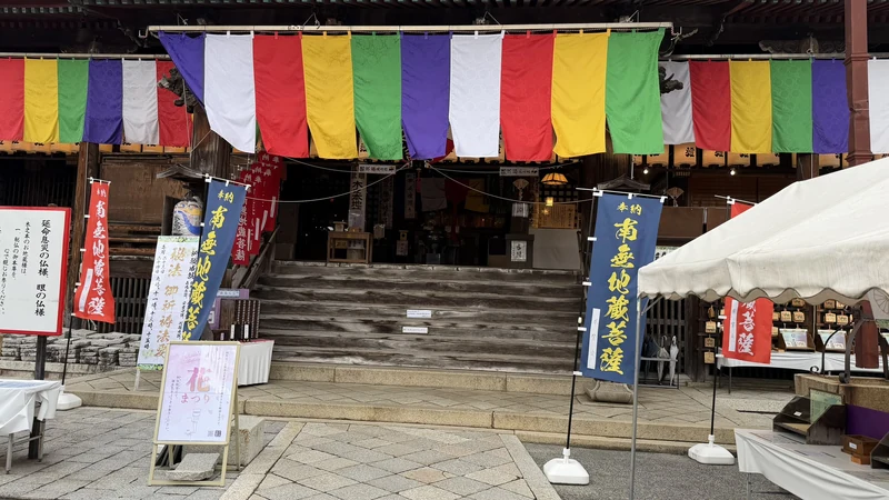
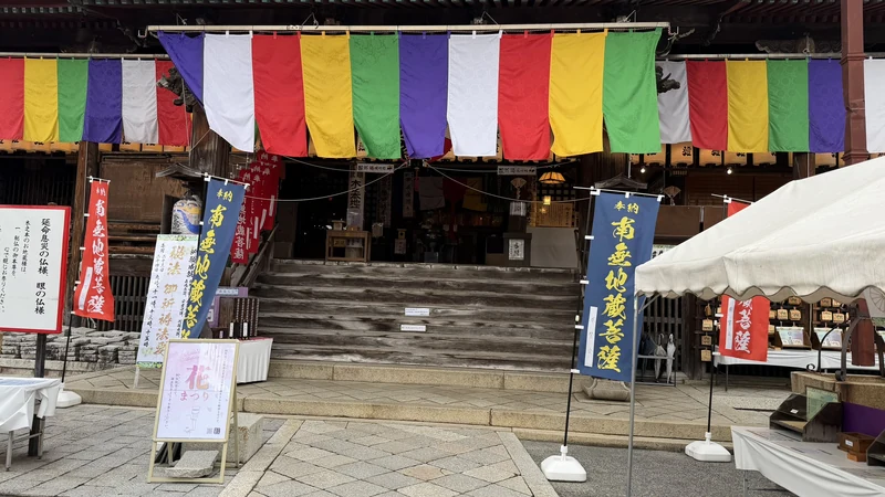
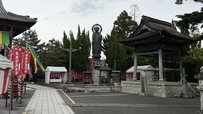
Kinomoto Jizo-in is an active Buddhist temple where people still come to worship. Its grounds include a main hall and a large bronze Jizo statue standing outdoors. That statue was erected in 1894 (Meiji 27), stands about 6 meters (20 ft) tall, and is described as a copy of the temple's principal image. It's worth remembering that this isn't the statue that would have stood here in 1583, at the time of the battle.
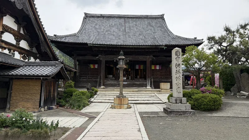
The grounds also include a kaidan-meguri (a pitch-dark passage meant to be walked by touch, symbolizing enlightenment) and a garden with national Place of Scenic Beauty status. As of our visit in late April 2026, the garden wasn't open to the public, and we weren't able to see it. Since opening status can change, it's worth checking before your visit. More photos are in the panel below.
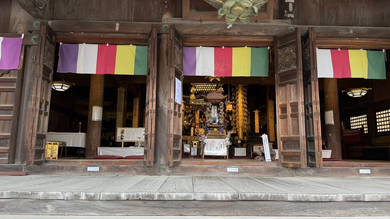
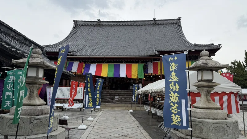
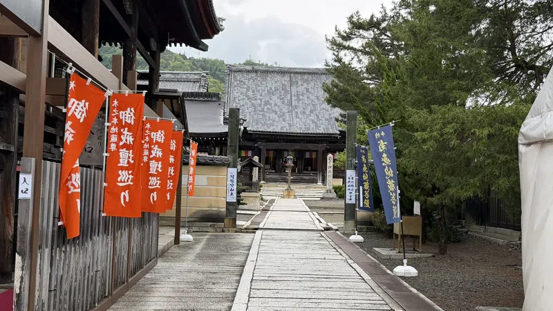
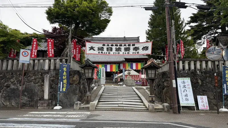
Tap any photo to enlarge (views of the main hall, approach path, and entrance)
Local Legends- According to temple tradition, a monk carrying the Jizo statue found it would no longer move once he reached a willow tree at this spot.
- The place name Kinomoto ("under the tree") is said to come from this Jizo statue resting under the willow tree.
- There's also a legend of a one-eyed frog said to take on visitors' misfortunes in their place.
These are presented as temple legends, not as verified historical facts from 1583.
Ohofura Shrine 🎥 360°
10 minutes on foot from Kinomoto Jizo-in — where the residential streets end
It's about a 10-minute walk from Kinomoto Jizo-in to Ohofura Shrine, through a residential neighborhood. The shrine is still active, and its grounds include a torii gate, an approach path, komainu guardian-dog statues, and stone lanterns.
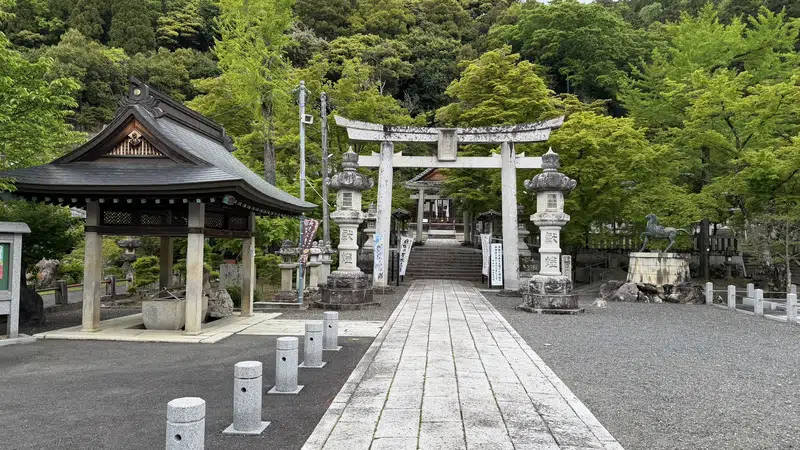
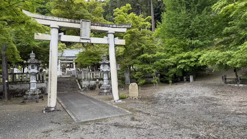
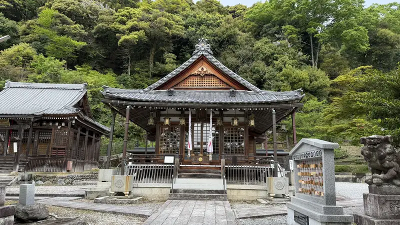
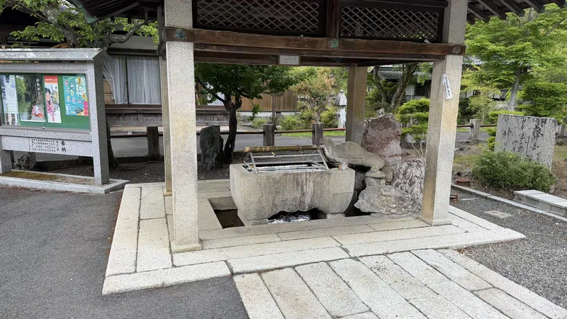
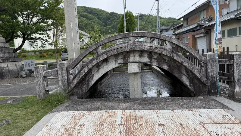
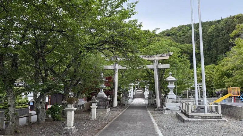
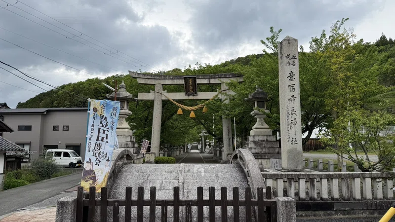
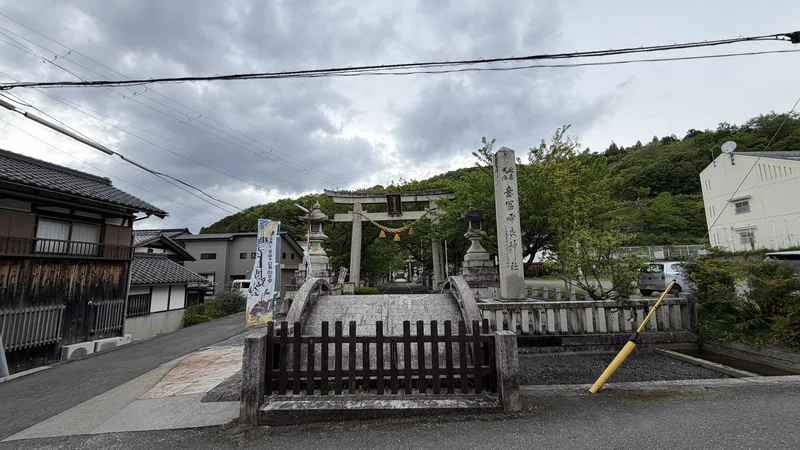
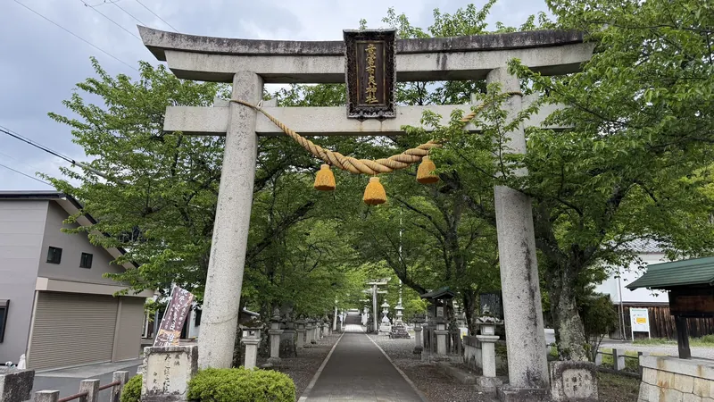
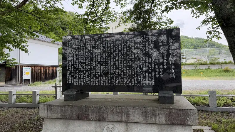
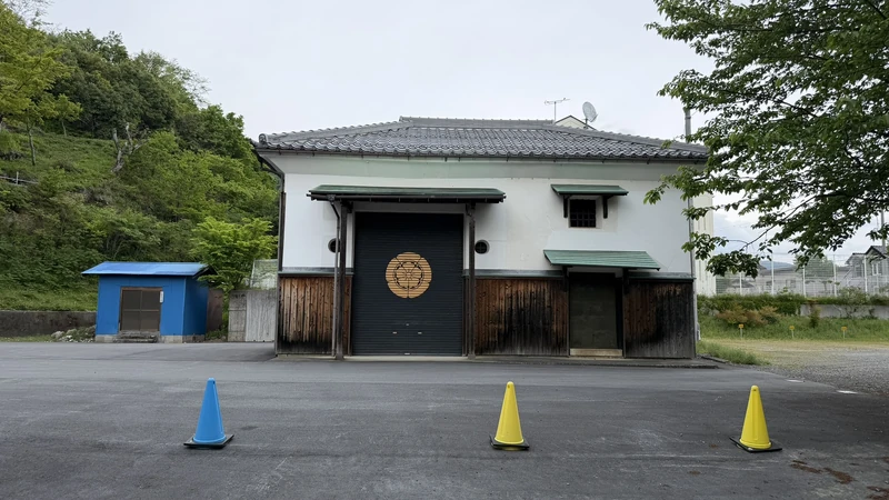
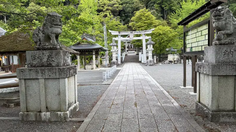
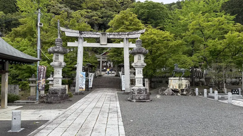
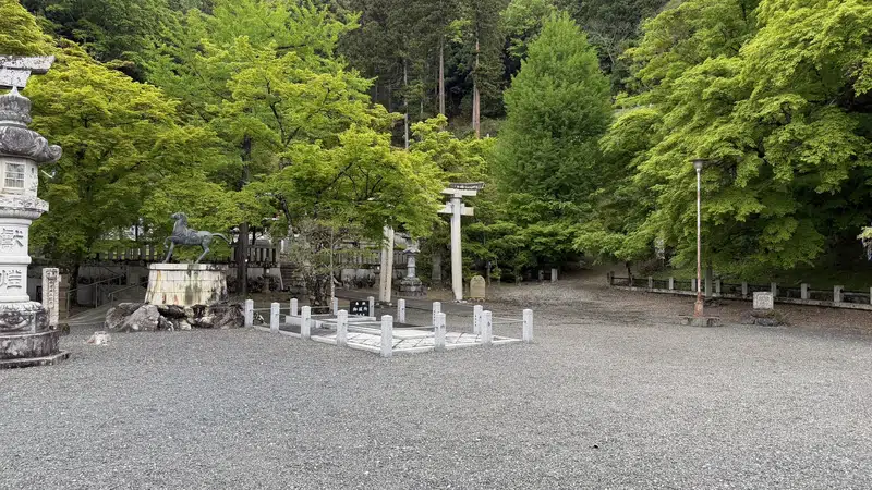
Tap any photo to enlarge (views of the grounds, torii gate, and approach path)
You can also check the location of the shrine and the trailhead on the map below.
Trailhead and Mountain Trail
Where your gear needs change
Past Ohofura Shrine, the path reaches the trailhead and turns into an unpaved mountain trail.
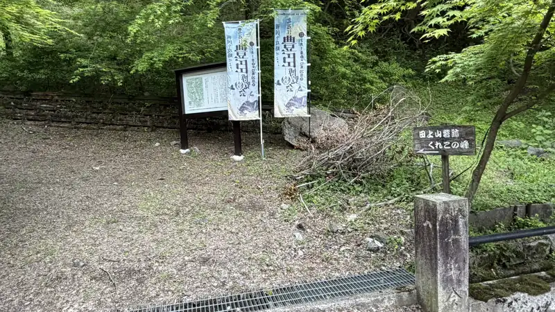
On our visit in late April 2026, the trail had few branching points and was easy to follow. Trail conditions can change with the weather, though, so hiking shoes and clothes you don't mind getting dirty are a good idea.
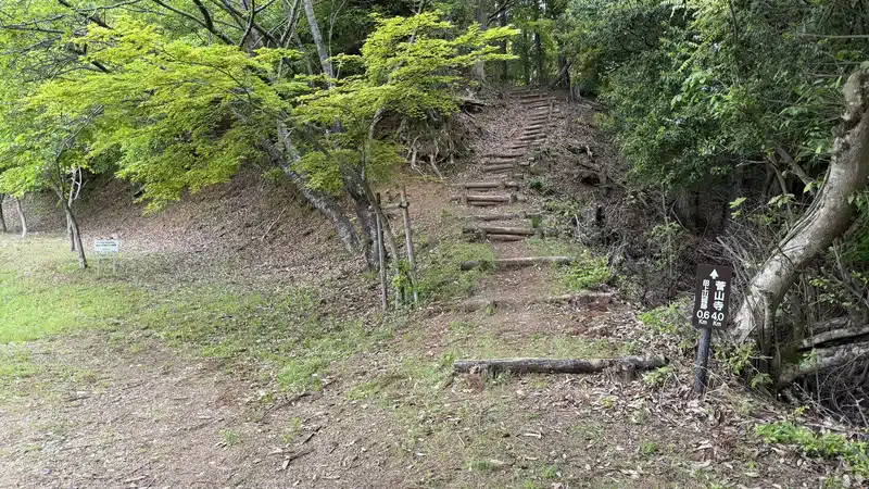
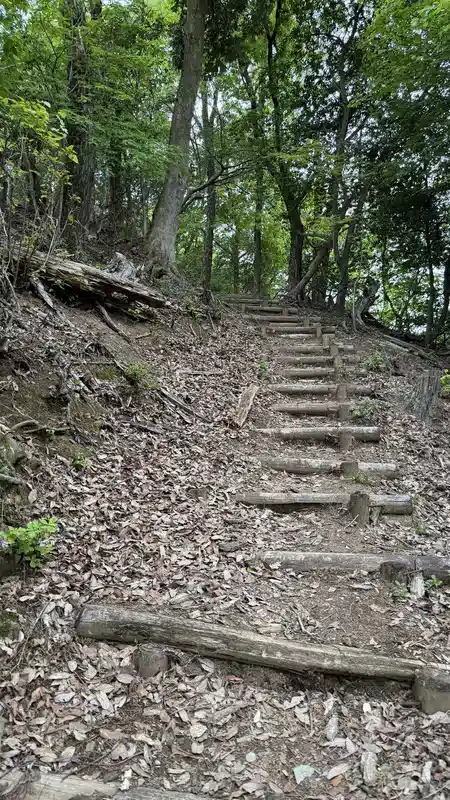
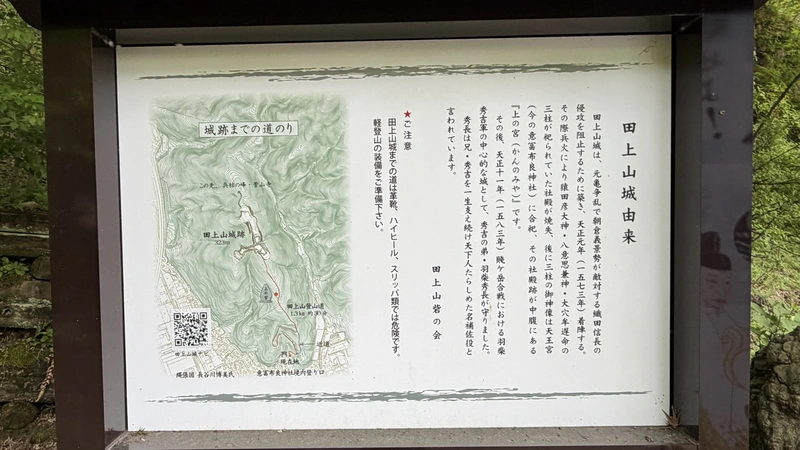
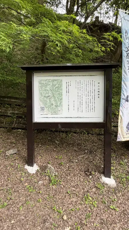
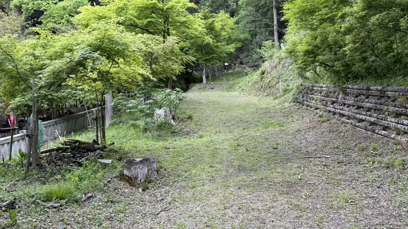
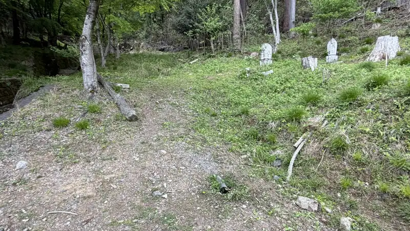
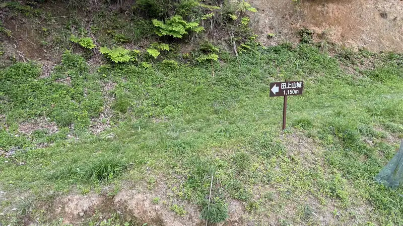
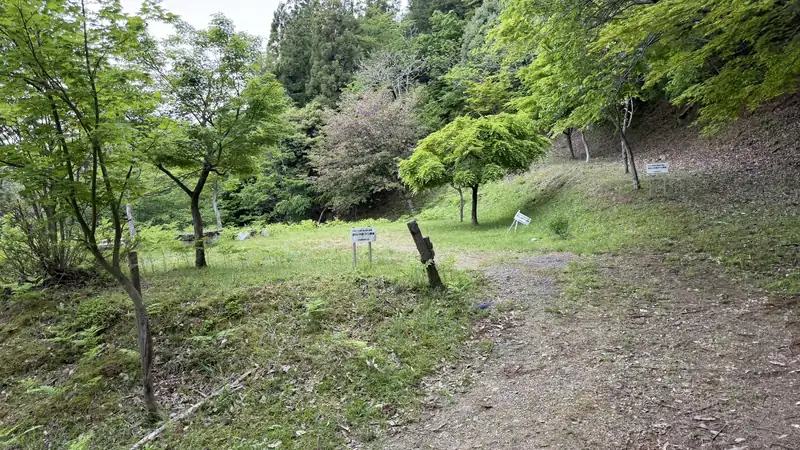
Tap any photo to enlarge (views from the trailhead to where the path turns into a mountain trail)
Kaminomiya Shrine Ruins
14 minutes from the trailhead, 7 more to Tagamiyama Fort — the midpoint of the climb
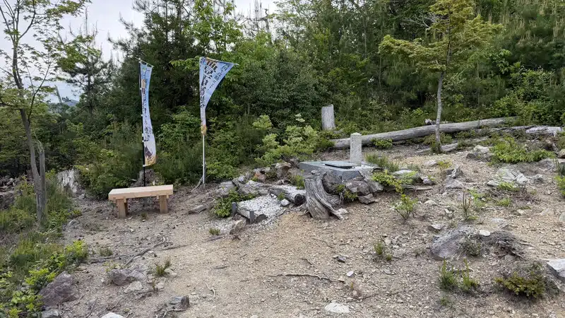
It's 14 minutes from the trailhead to Kaminomiya Shrine Ruins (上の宮跨, meaning roughly "ruins of the upper shrine") — the site of a shrine said to have once stood here, though no shrine building remains today. It works well as a halfway marker on the climb, giving you a sense of pace before the final stretch. From here, it's another 7 minutes to Tagamiyama Fort.
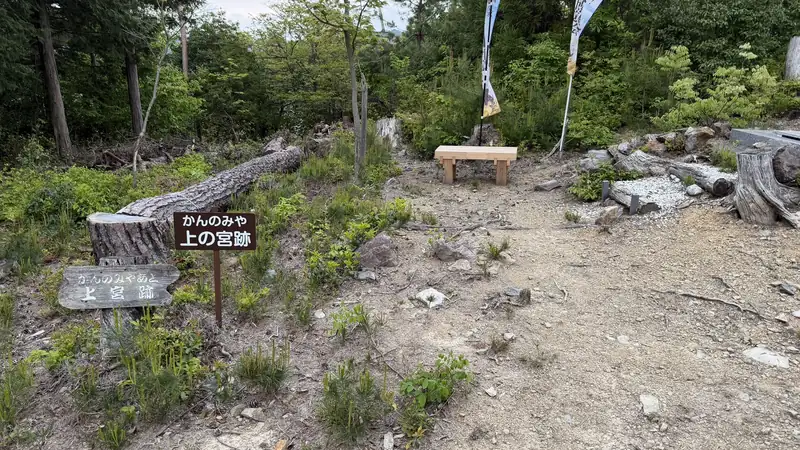
Tagamiyama Fort — Reading the Southern Defenses
From dry moat to enclosure to gate — tracing how the defensive features are arranged along the approach
Continuing from Kaminomiya Shrine Ruins, you first reach the southern defensive earthworks. You can trace them in order — the South Dry Moat, the South Enclosure, and the South Enclosure Gate — and read from the terrain itself how each defensive feature was positioned along the approach to the main enclosure.
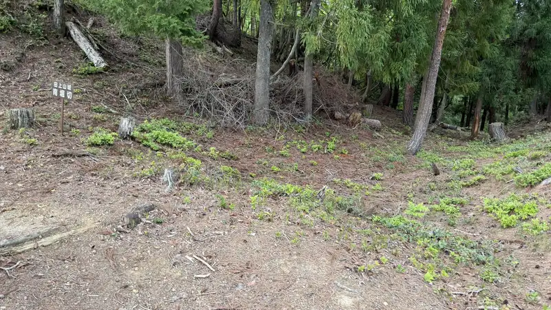
Detailed information signs are posted throughout the fort, marking what stood at each spot. Even with no buildings left standing, cross-referencing these signs with the terrain made it possible to picture the original layout while walking through. More photos are in the panel below.
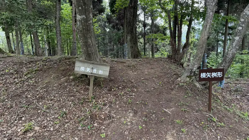
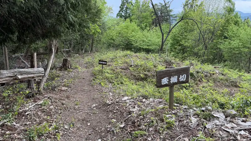
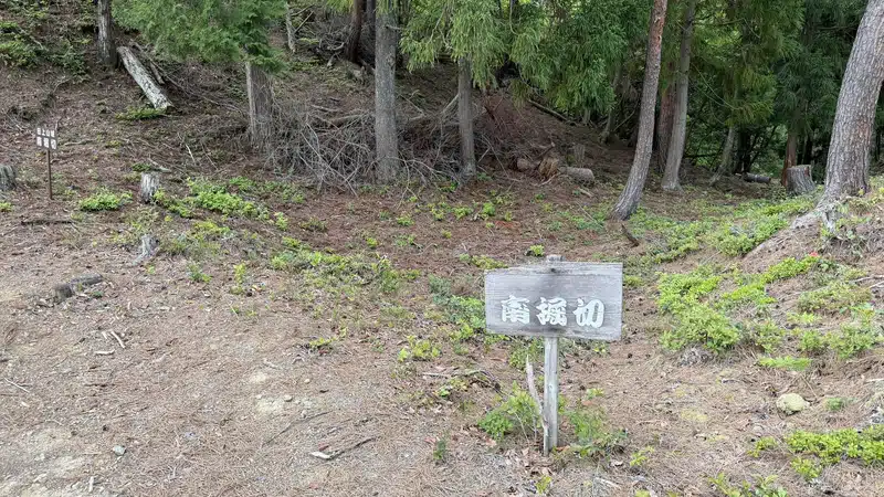
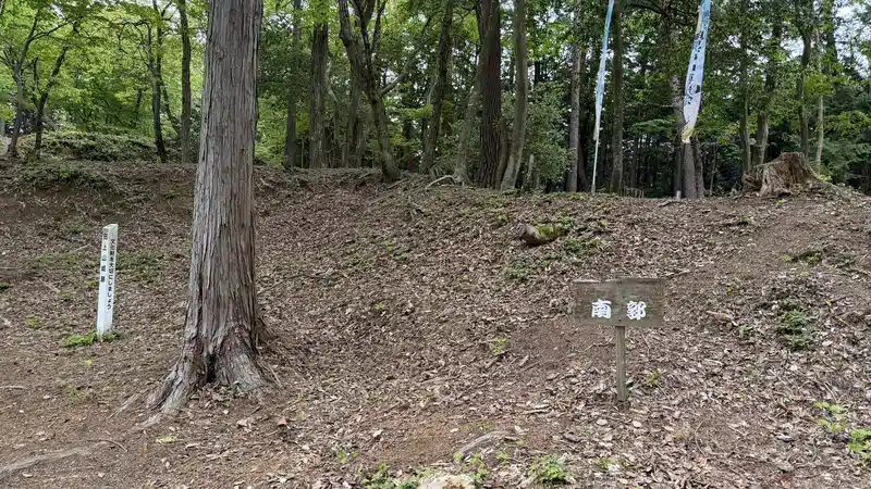
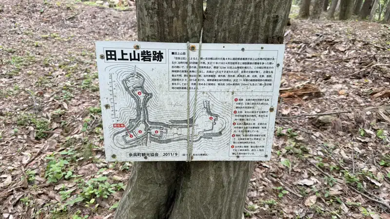
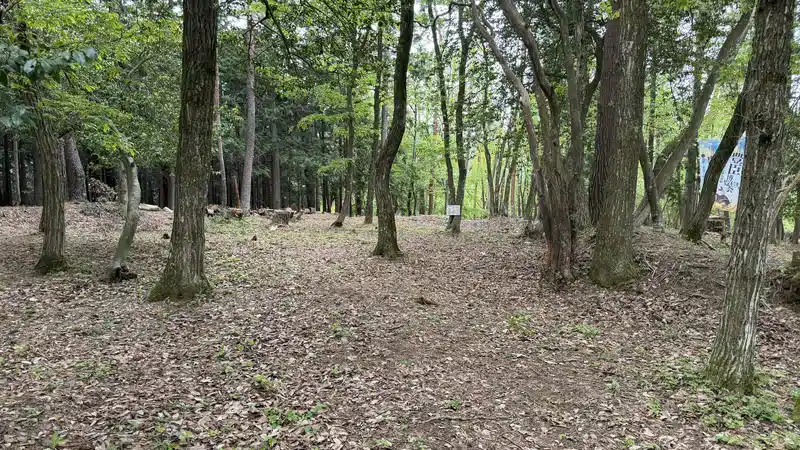
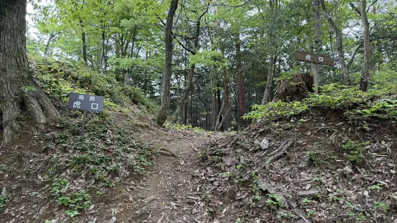
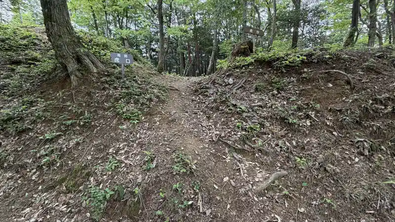
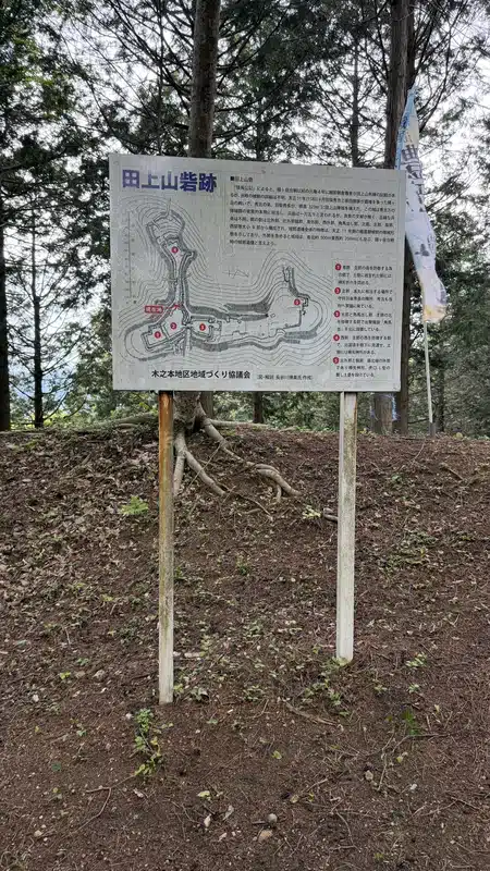
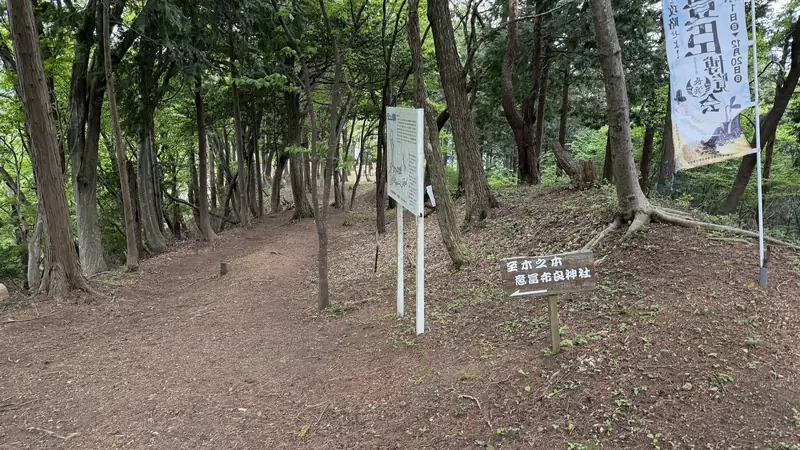
Tap any photo to enlarge (views from the South Dry Moat to the gate approach)
Terms You'll See on the Site Signage| Shukaku (主郎) — Main Enclosure | The fort's central section. No buildings remain here today — you read its layout from the flat ground and the defensive earthworks surrounding it. |
|---|---|
| Kuruwa (曲轮) — Enclosure | A defensive area marked off with earthworks. |
| Dorui (土囲) — Rampart | A defensive wall built by piling up earth — not a stone wall. |
| Horikiri (坁切) — Dry Moat | A trench dug straight across a ridge to cut off the approach. |
| Koguchi (虎口) — Gate Approach | A fortified entrance. No gate structure survives here today. |
| Umadashi (馬出) — Barbican | A small defensive space built just outside a gate. |
Shukaku (主郎): The High Ground That Served as the Command Post 🎥 360°
The center of the fort — a place to read the terrain, not a building
The shukaku (main enclosure) is the heart of the fort. No structures like a castle keep or residential hall survive here today — what you see is a flat area of high ground, ringed by defensive earthworks you read directly from the terrain. Keeping in mind that Hidenaga is said to have been stationed here changes how the surrounding landscape reads as you walk it.
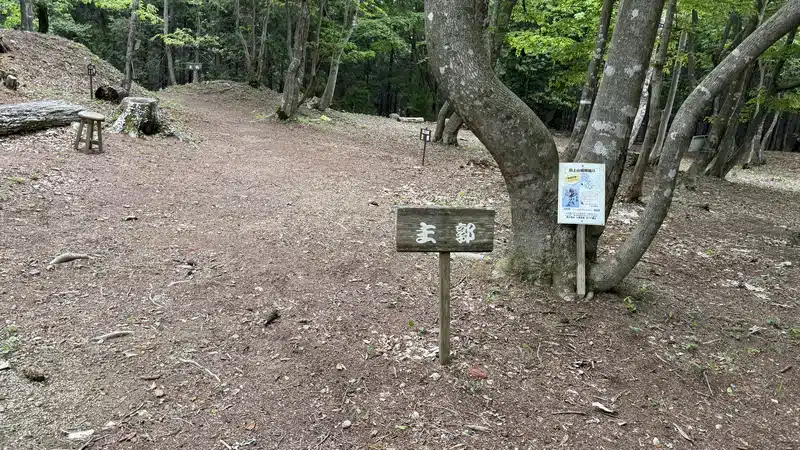
From the main enclosure, the path crosses an earthen bridge (dobashi) toward the North Enclosure. On our visit in late April 2026, we also found a spot where the view opens up from the summit. More photos and the on-site map are in the panel below.
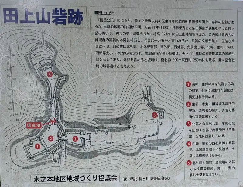
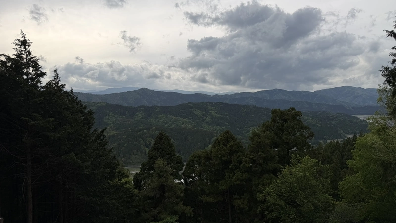
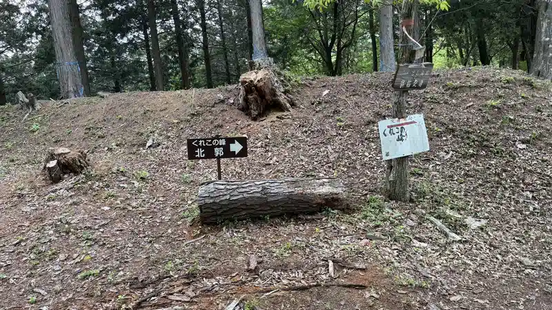
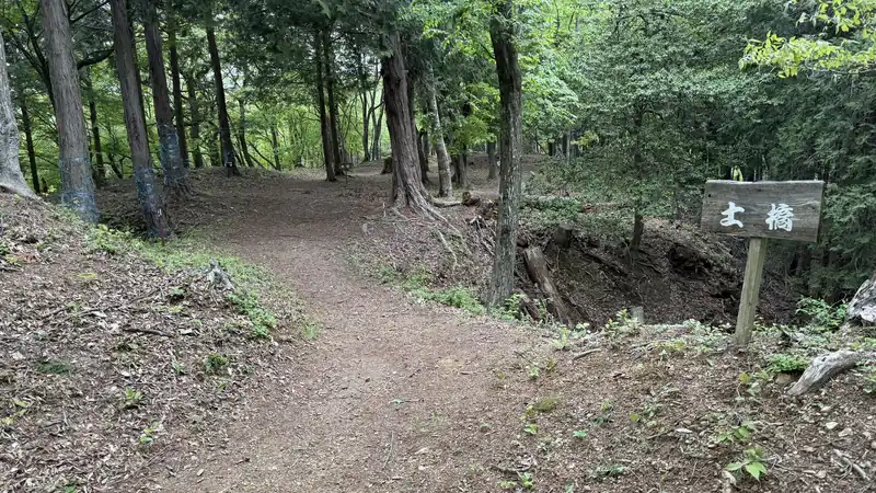
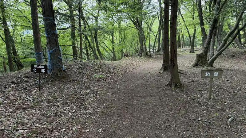
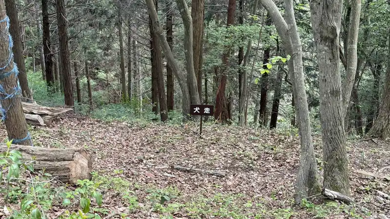
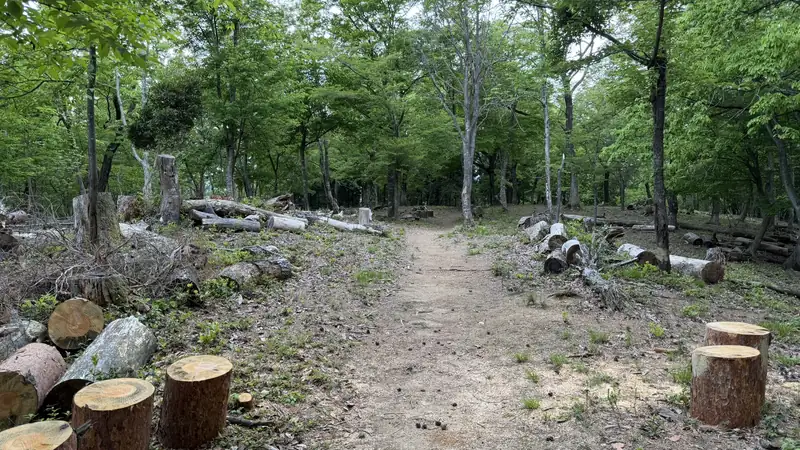
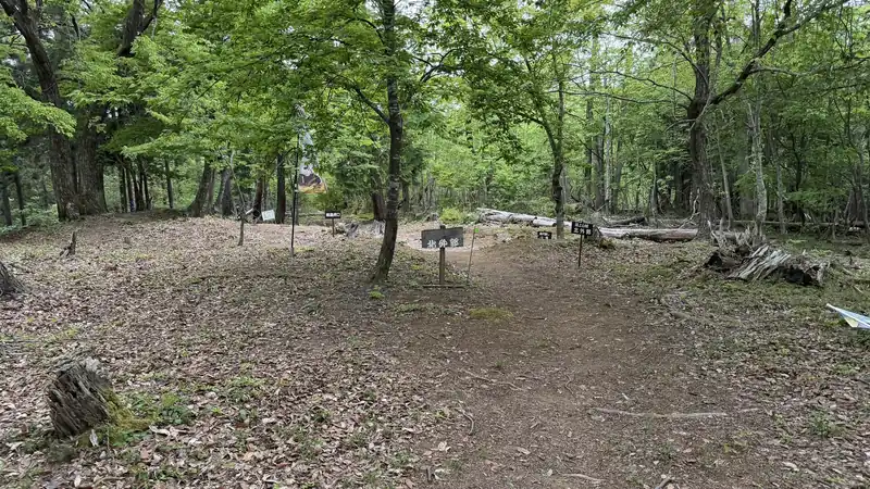
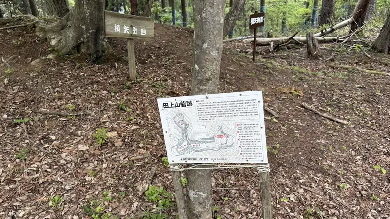
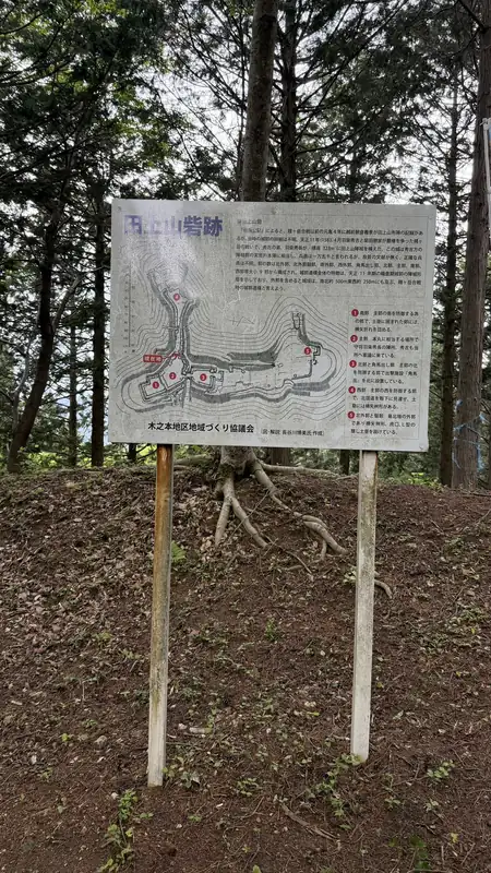
Tap any photo to enlarge (views from the main enclosure toward the North Enclosure)
The North and West Defenses: Reading a Bent and Staggered Approach 🎥 360°
A section where the terrain shows a bent and staggered approach
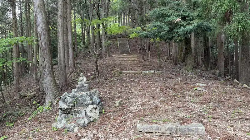
From here, the trail winds past a series of further earthworks — another enclosure and outer enclosure to the north, a corner barbican, and staggered gates (kuichigai-koguchi), before reaching a final dry moat to the west. Taken together, these earthworks create a bent and staggered approach rather than a straight route. The layout can be read as a defensive arrangement that redirected movement and created opportunities for defense from the side.
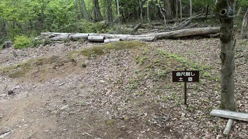
On our visit in late April 2026, we spent about 20 minutes exploring the fort ruins. If you want to examine each earthwork closely, allow more time.
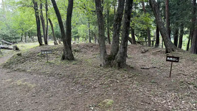
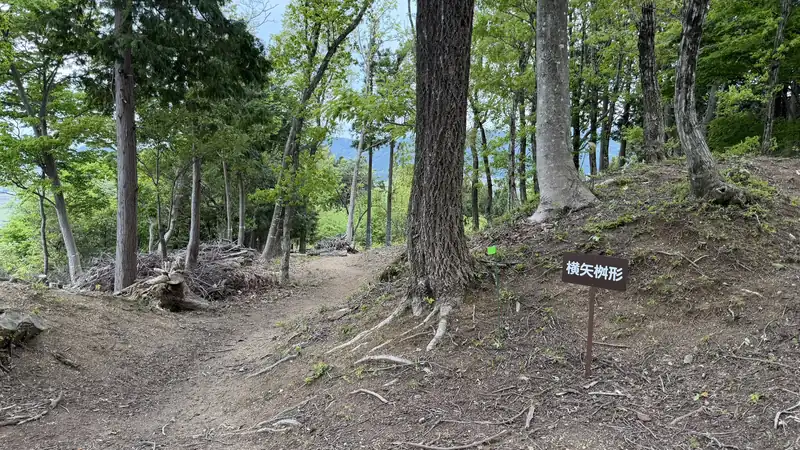
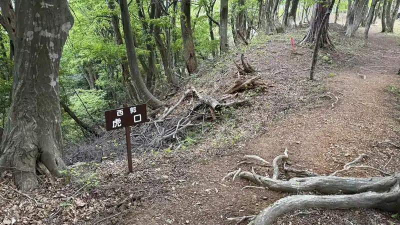
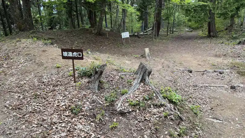
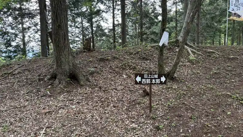
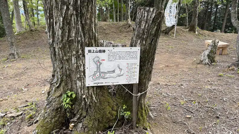
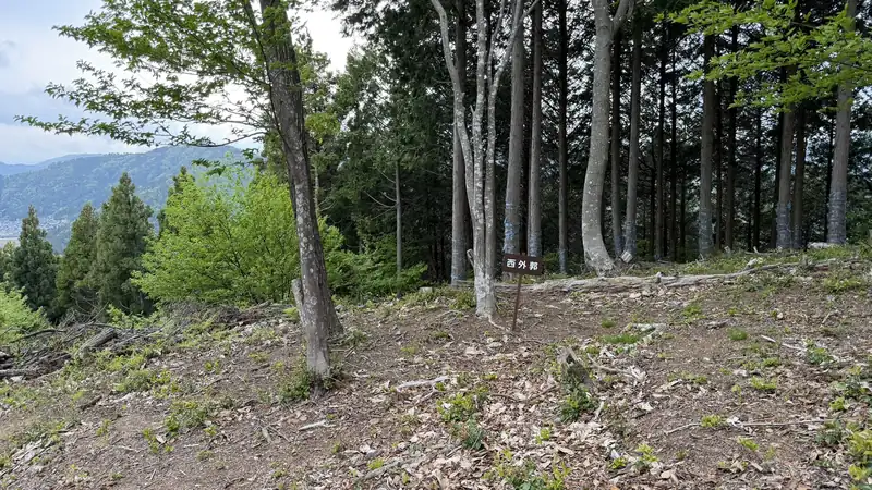
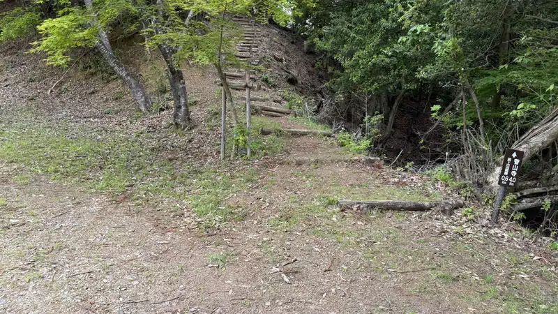
Tap any photo to enlarge (views of the north and west defenses)
Heading Back Down
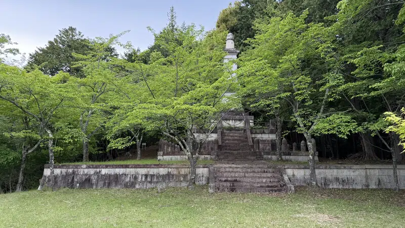
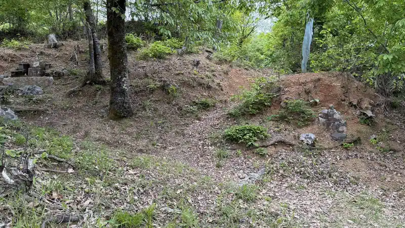
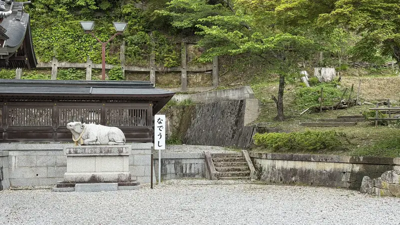
The descent from Tagamiyama Fort back to Ohofura Shrine took 20 minutes. Depending on the surface and weather, the way down can be more slippery than the way up — don't assume the return trip will feel the same just because it takes about the same amount of time. We didn't record the time from Ohofura Shrine back to Kinomoto Station on this visit.
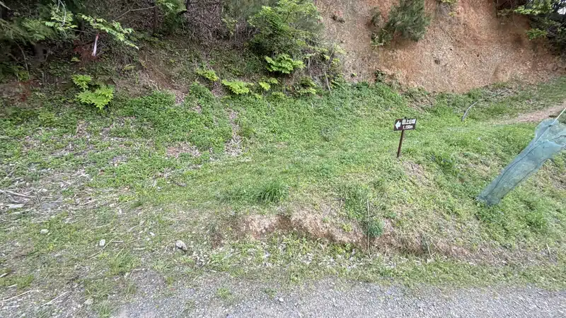
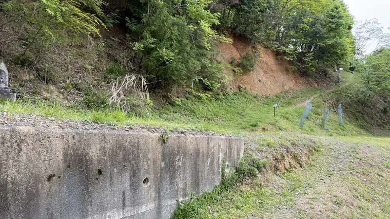
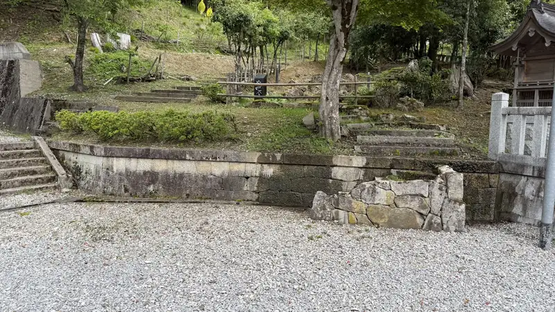
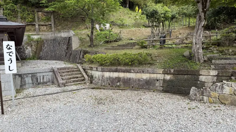
Tap any photo to enlarge (views from the descent and around the foothills)
What Survives Today, and What Doesn't
| Location | Built / Era | Current Status | Notes |
|---|---|---|---|
| Kinomoto Jizo-in | A historic temple; its buildings have changed over the centuries | Active temple | The structures here today are not the same ones that stood in 1583 |
| Outdoor Enmei Jizo statue | Built in 1894 (Meiji 27) | Survives | Not the statue that stood here at the time of the battle |
| Jōshin-ji Garden | Nationally designated Place of Scenic Beauty | Survives | Not open to the public as of our visit in late April 2026 — check current status before you go |
| Ohofura Shrine | Active shrine | Survives | — |
| Kaminomiya Shrine Ruins | Site of a former shrine | No structure remains; only the site itself | — |
| Tagamiyama Fort Ruins | Field fortification from the 1583 Battle of Shizugatake | No buildings remain — ramparts, dry moats, and gate approaches survive as earthworks | No castle keep or other historical building survives here today; what remains are the earthworks |
Goshuin Temple Seals & Souvenirs
On our visit in late April 2026, we received a goshuin (a temple's hand-stamped calligraphic seal, collected by visitors as a record of their visit) at Kinomoto Jizo-in. The types available, the fee, and whether they're currently being offered can all change, so check with the temple or its official website before you go.
We also picked up a commemorative stamp related to Tagamiyama Fort at Shizugatake Sengoku Station, a local visitor center. Its official name, price, and current availability may change, so this guide simply notes that it was available at the time of our visit — check the details on site.
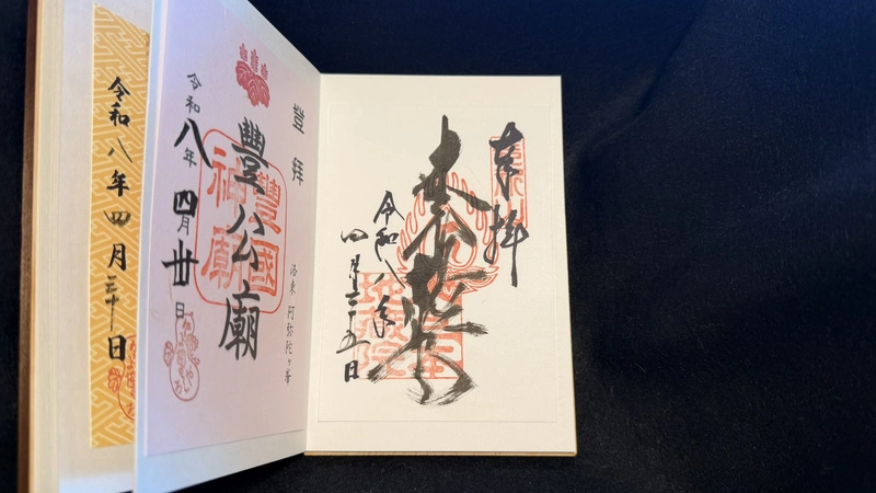
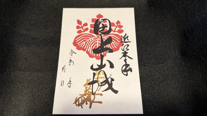
Tap to enlarge (both obtained during our visit in late April 2026)
For more on the 2026 NHK taiga drama exhibits at Shizugatake Sengoku Station, see our guide to two free exhibitions in Kinomoto.
FAQ
Past Ohofura Shrine, the trail is unpaved. On our visit in late April 2026, we walked over gravel, bare earth, and slopes covered in fallen leaves. We'd recommend hiking-appropriate shoes and clothes you don't mind getting dirty. If you have any mobility concerns, use your own judgment about how far to go.
It's about 6 minutes on foot to Kinomoto Jizo-in. Our recorded total across all sections was 1 hr 42 min, but that figure includes time spent sightseeing at the temple, shrine, and fort — it doesn't cover the return walk to the station.
Yes. It's about 6 minutes from the station, and you don't need any hiking gear to visit. Just double-check the reception hours before you go.
The area around Kinomoto Jizo-in (Jōshin-ji) is believed, based on surviving documents, to be near Hideyoshi's headquarters. It's not officially designated or confirmed as the exact historic site.
No. What you'll find on site are earthworks — the main enclosure, sub-enclosures, ramparts, dry moats, and gate approaches.
It's a nationally designated Place of Scenic Beauty, but as of our visit in late April 2026, it wasn't open to the public. Since that could change, check before your visit.
On our visit in late April 2026, we were able to receive a goshuin at Kinomoto Jizo-in. We also found a commemorative stamp related to Tagamiyama Fort for sale at Shizugatake Sengoku Station, though its official name and availability may change — best to check on site.
Related Guides
☕ Support This Site
Following the Shogun is built from firsthand, on-the-ground research.
If this guide was helpful, your support helps keep it going.

You can also support via this QR code


comment