


Climbing Mt. Fuji's Yoshida Trail — 15 Huts and 8 360° Panoramas from the 5th Station to the Summit
On August 21-22, 2026, we walked the Yoshida Trail from the 5th Station to the summit. What follows is what we saw: the huts, trail signage, the overnight ascent, sunrise, and the crater walk.
Quick Summary
| Itinerary | 5th Station -> overnight at Hon-Hachigome -> summit -> crater walk -> descent (2 days) |
|---|---|
| Standard time | approx. 6h up / 4h down (official guideline, excludes rests) |
| 2026 season | Jul 1 - Sep 10 |
| Access to 5th Station | Direct highway bus from Shinjuku (~2h35m), or train + local bus |
| History background | Shrine precincts since Ieyasu's donation and the 1974 ruling — full story in our history article |
You will be moving in the dark for several hours, so you need both a headlamp and warm layers. Even in August, dawn at the summit is cold enough to want winter gear. If altitude sickness is a concern, build in enough time at Hon-Hachigome to acclimatize properly.
About This Climb
The Yoshida Trail is the busiest of Mt. Fuji's four routes. Buses run all the way to its 5th Station and mountain huts line the path, which is why most first-time climbers pick it. We followed the standard itinerary: up from the 5th Station to a hut at Hon-Hachigome, a few hours of sleep, then out the door around midnight to reach the summit for sunrise.
The official guideline gives roughly 6 hours up and 4 hours down. That figure is closer to walking time alone, excluding rest stops. With an overnight hut stay built in, as ours was, the climb takes two full days.
On fitness, plainly: above 3,000m the thin air is unmistakable, and the night section means climbing rock by headlamp. If you do no regular exercise at all, this is a hard two days.
 ⛩️ Companion Article
Why Mt. Fuji's Summit Is Shrine Land — the History
Four centuries of history behind the Sengen Taisha boundary, from Ieyasu's donation to the 1974 Supreme Court ruling, plus the story of six shrines along the trail.
⛩️ Companion Article
Why Mt. Fuji's Summit Is Shrine Land — the History
Four centuries of history behind the Sengen Taisha boundary, from Ieyasu's donation to the 1974 Supreme Court ruling, plus the story of six shrines along the trail.
| Starting point | Fuji Subaru Line 5th Station (approx. 2,305m), the Yoshida Trail trailhead |
|---|---|
| Direct highway bus from Tokyo | A direct highway bus from Busta Shinjuku takes about 2h35m per the official guideline. We stopped at the EXPASA Tadonaka service area on the way, which put our own trip closer to three hours. |
| Train + local bus | The "Fuji Excursion" limited express runs from Shinjuku to Kawaguchiko Station in about 1h54m (about ¥4,200 one way, 4-5 round trips a day). From Kawaguchiko Station, a local bus reaches the 5th Station in about 55 minutes (¥2,000 one way / ¥3,400 round trip, revised July 1, 2026). From Fujisan Station it takes about 1h5m. |
| Climbing season | The 2026 season runs July 1 to September 10 |
| Entry rules | Reports indicate a ¥4,000 trail-use fee, gate closures from 2:00 PM to 3:00 AM, and a daily climber cap. Please check official sources for the latest regulations. |
| Difficulty | Several hours of night walking; a headlamp and warm layers are needed. |
the Fujiyoshida City official 2-day Yoshida Trail climbing itinerary
Fares, journey times, and entry rules were checked against operator and municipal sources in August 2026 and are subject to change. Please confirm the latest details before you travel.
The Fuji Subaru Line 5th Station 🎥 360°
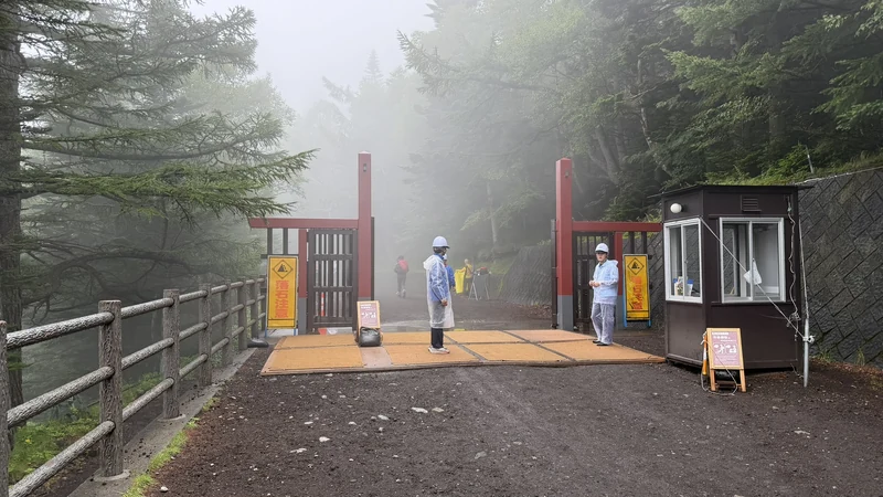
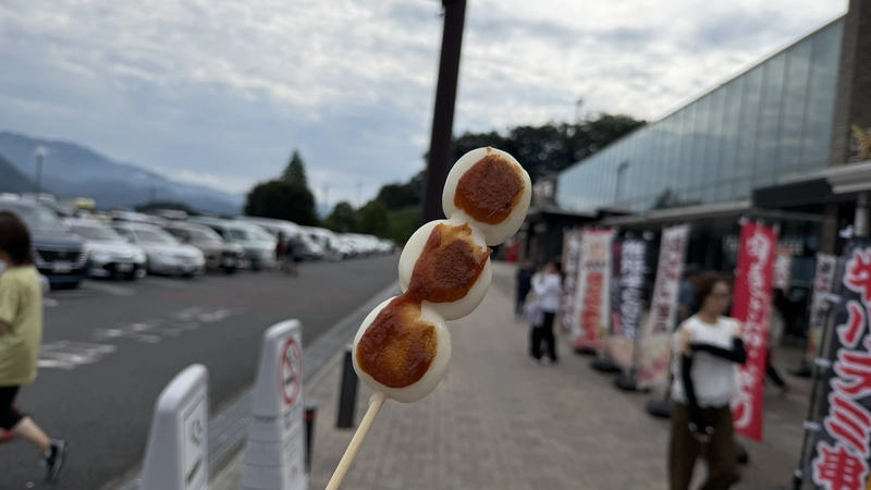
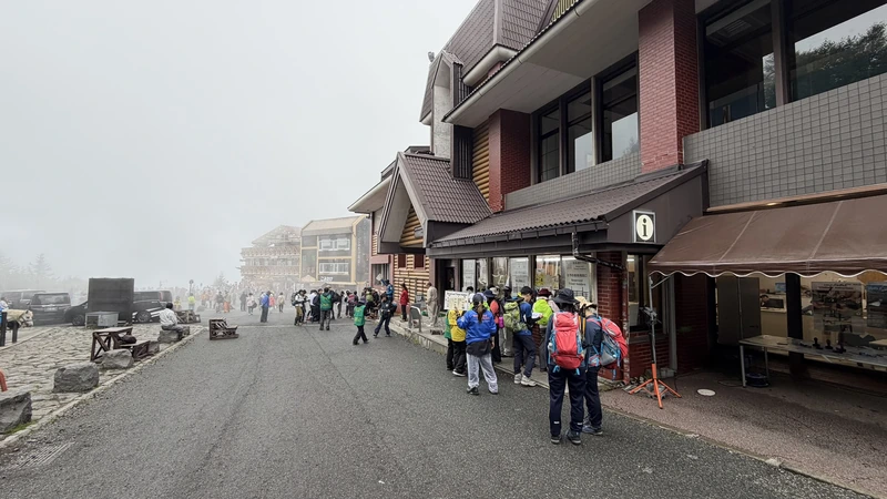
The Fuji Subaru Line 5th Station, where the bus drops you, sits at about 2,305m — already at cloud level. Shops and restaurants cluster here, busy with climbers eating before setting off or buying a wooden pilgrim staff. Komitake Shrine stands on the same grounds, and climbers stop there to pray for a safe ascent. We cover the shrine's own history in our companion article on Mt. Fuji and the Sengoku warlords.
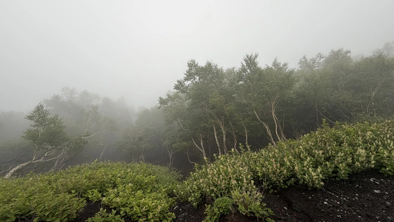
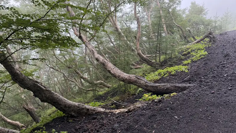
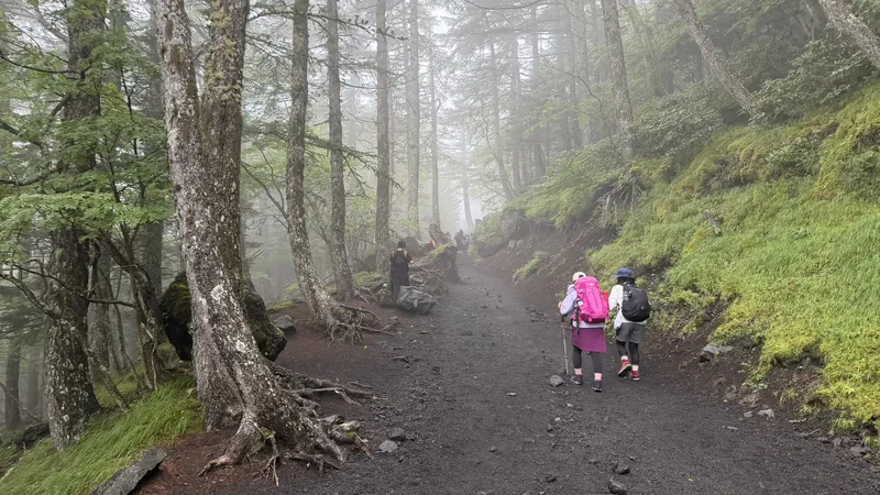
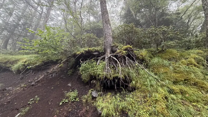
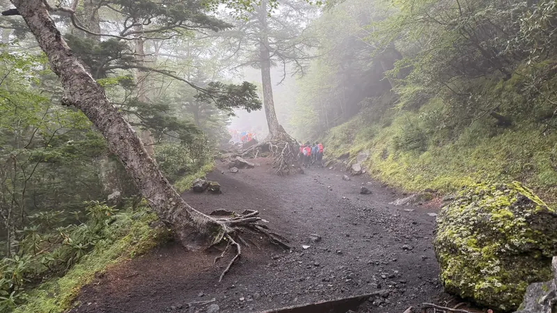
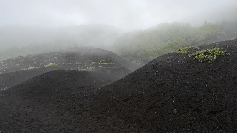
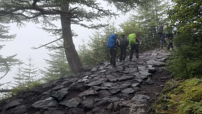
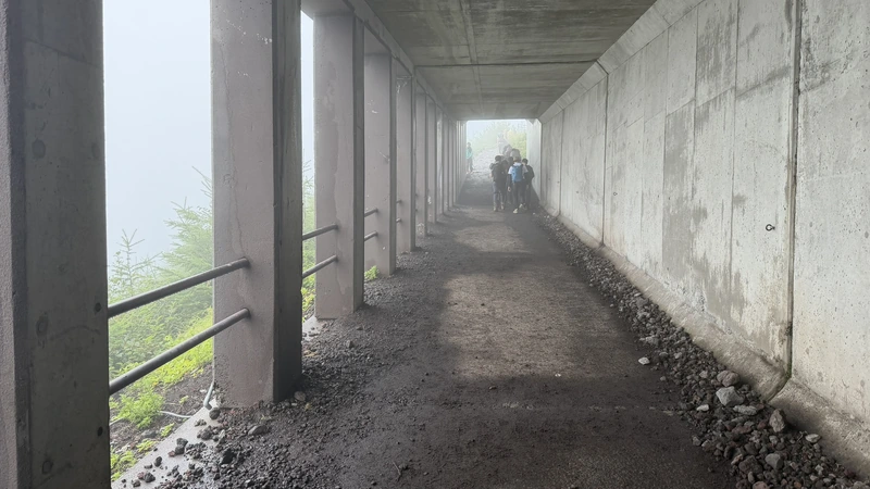
Past the trailhead gate, the path first drops slightly to the Izumigataki junction, then climbs gently through birch and larch forest. Nobody is acclimatized yet at this stage, so we deliberately kept the pace slow.








Tap to enlarge
From the Safety Guidance Center to the 7th Station Huts 🎥 360°
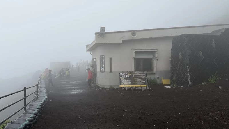
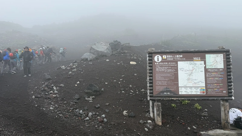
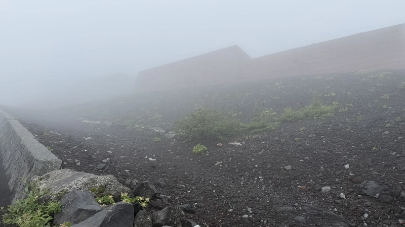
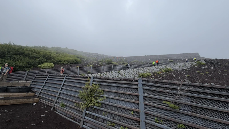
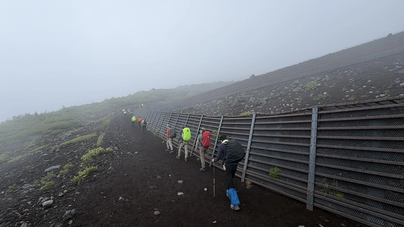
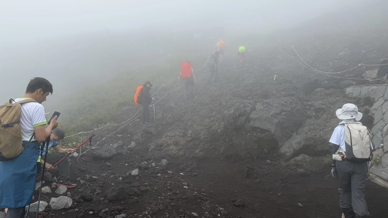
Above the forest, the 6th Station's Mt. Fuji Safety Guidance Center was buried in thick fog the day we passed. This is where the ascent and descent routes split. Beyond it the trees stop, and the trail switchbacks up an open slope of volcanic scree — the views open up, and there is nothing left to block the sun.
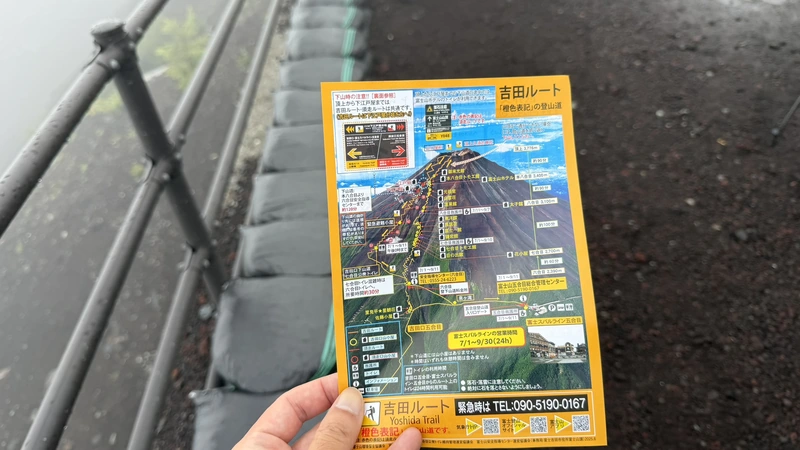
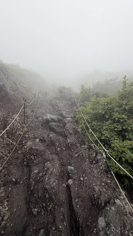
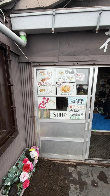
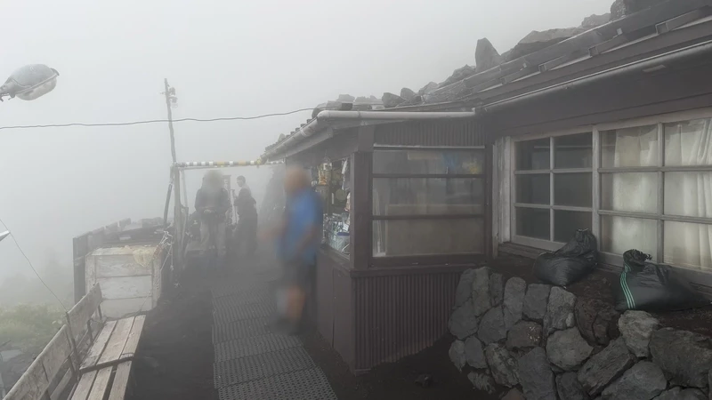
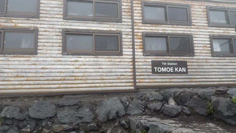
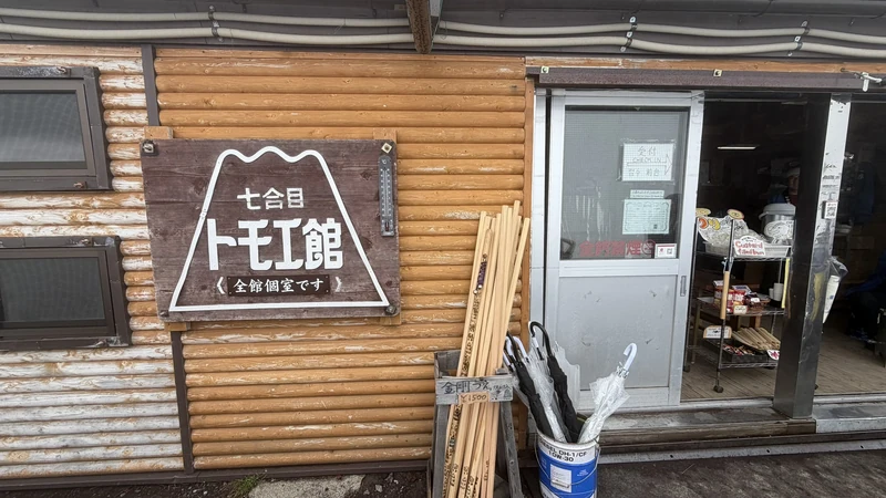
At the 7th Station the huts start arriving one after another, lowest to highest: Hanagoya, Hinodekan, Nanagome-Tomoekan, Kamaiwakan, Fujiichikan, Torii-so at the upper 7th Station, and finally Toyokan. Much of this stretch is rock, and in places you scramble with your hands. At Torii-so, hut stamps were on sale by the shop entrance. Photos from each hut are grouped in the details below.





Tap to enlarge
Hanagoya


Tap to enlarge


Tap to enlarge
Hinodekan


Tap to enlarge

Tap to enlarge
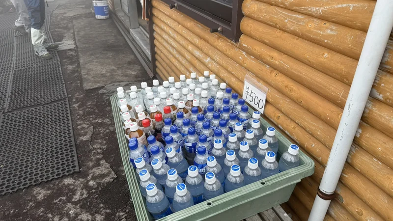
Nanagome-Tomoekan
Tap to enlarge


Tap to enlarge
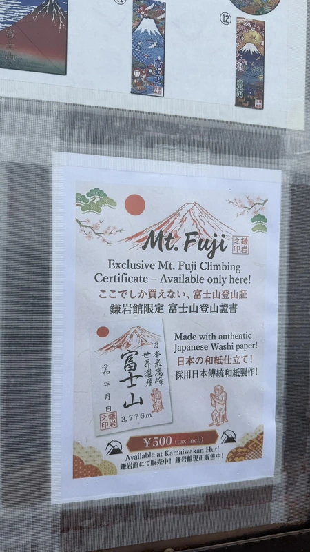
Kamaiwakan


Tap to enlarge


Tap to enlarge
Fujiichikan
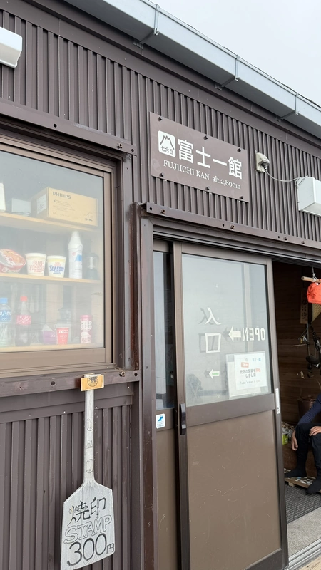
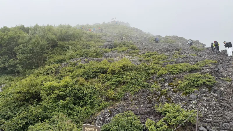
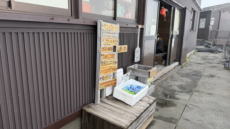
Tap to enlarge

Tap to enlarge
Torii-so
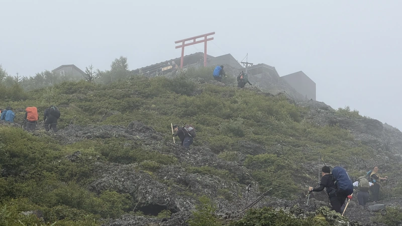
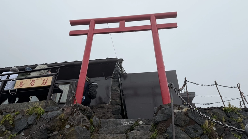

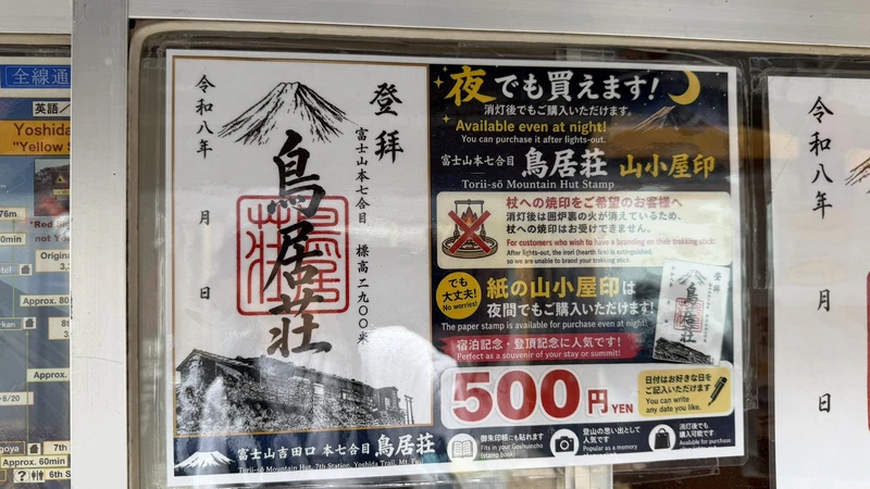

Tap to enlarge


Tap to enlarge
Toyokan




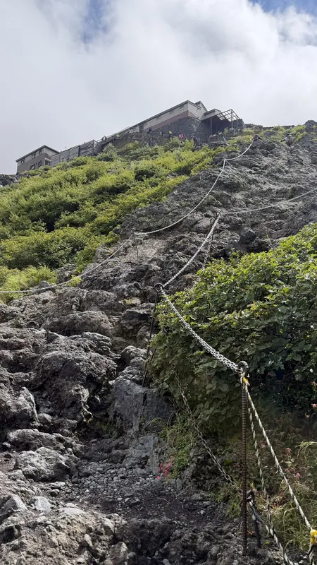

Tap to enlarge

Tap to enlarge
The 8th Station: Taishikan to Gansomuro 🎥 360°

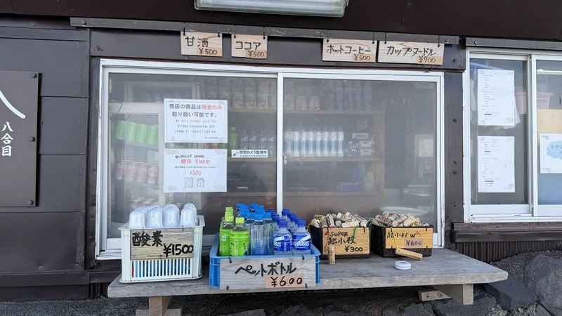
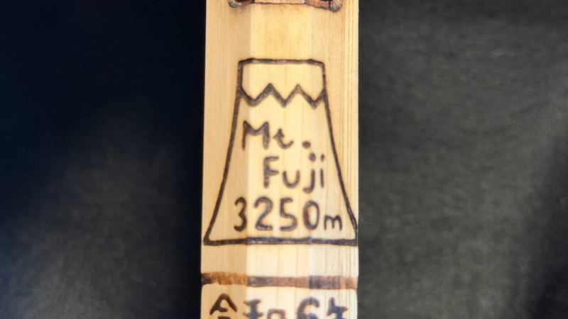
The 8th Station opens with Taishikan, its altitude, 3,100m, painted large on the building. Lowest to highest, Taishikan, Horaikan, Hakuunso, and Gansomuro follow in order. Horaikan was serving hot soup, which was welcome by that point. Near Horaikan stands a rock called Kameiwa, said to enshrine Horai Kameiwa Hachidai Ryujin, the eight dragon kings. Hakuunso's sign reads 3,200m, and by then you have a physical sense of how long 100 vertical meters takes.
Beside Gansomuro stands a small shrine, Fujisan Tenpaigu, with a white torii at its entrance, and Eboshi-iwa-no-miya stands right beside it. Seeing several wooden shrine halls built at this altitude was a surprise. We cover the history of these 8th Station shrines in our companion history article. Photos from each hut are grouped in the details below.

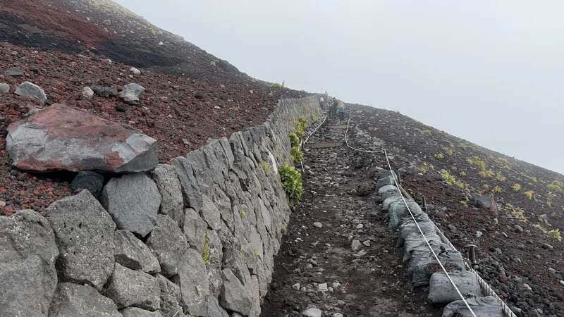


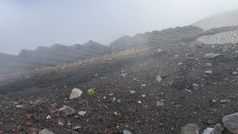

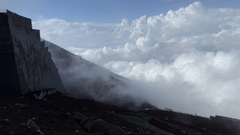
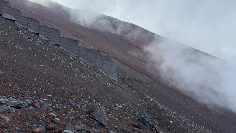
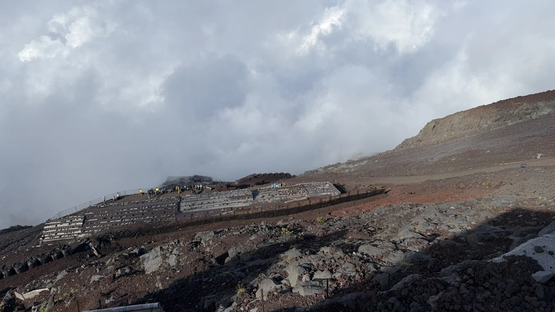


Tap to enlarge
Taishikan


Tap to enlarge


Tap to enlarge
Horaikan


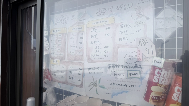
Tap to enlarge

Tap to enlarge
Hakuunso


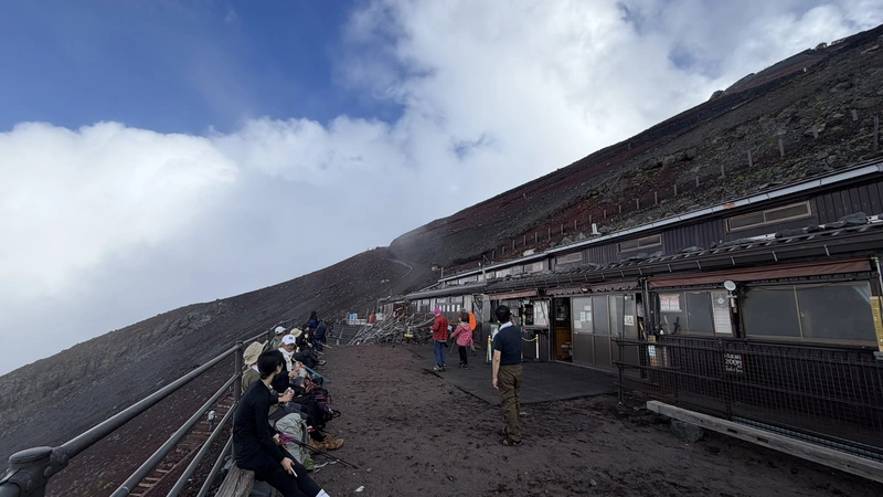

Tap to enlarge


Tap to enlarge
Gansomuro

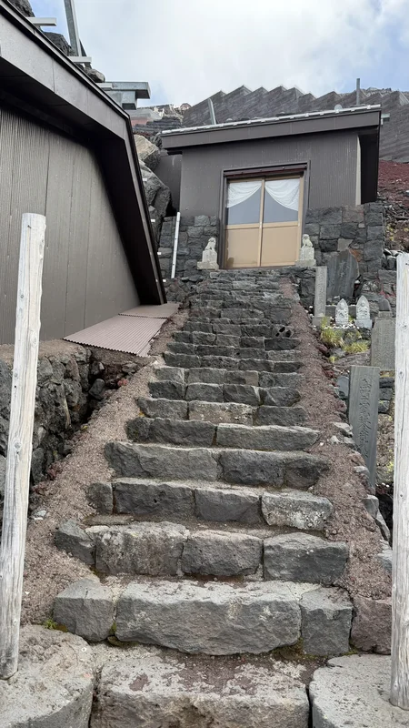

Tap to enlarge

Tap to enlarge
Hon-Hachigome — a Stone That Reads "Shrine Precincts"

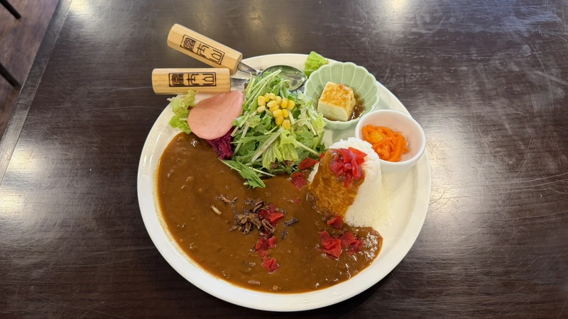
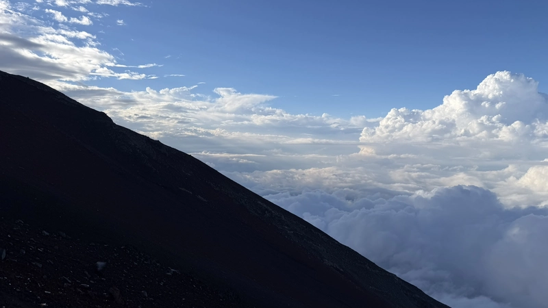
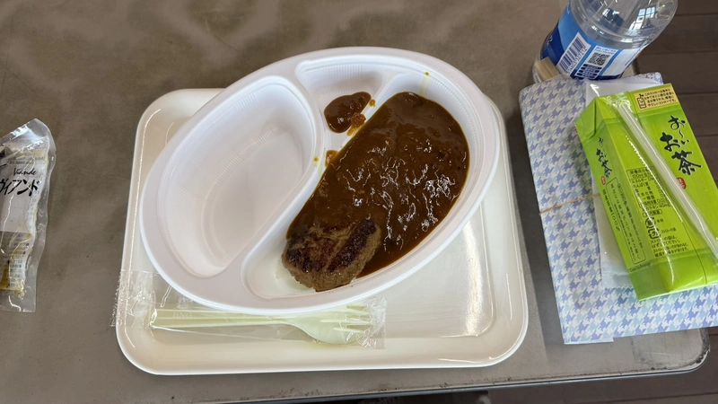
The stretch from Gansomuro up to Hon-Hachigome is called Munatsuki-hatcho, and the gradient matches the name. At the top, a sea of clouds filled the view. Three huts stand here, lowest to highest Fujisan Hotel, Hon-Hachigome Tomoekan, and Kami-Edoya; we stayed at the first. Dinner was hamburger-steak curry, followed by a few hours of sleep before the midnight start. Higher still, at the 8.5th Station reached after the midnight departure, stands Goraikokan hut. Photos from each hut are grouped in the details below.
What caught our attention at Hon-Hachigome was a stone marker inscribed with wording identifying the ground as Sengen Taisha's precincts. From this point at roughly 3,400m all the way to the summit is, legally, the land of Fujisan Hongu Sengen Taisha. There is no interpretive sign beside it; the stone simply stands among the huts. Why this ground belongs to a shrine is a four-century story, from Ieyasu's donation to a 1974 Supreme Court ruling, and we tell it in the companion history article.



Tap to enlarge
Fujisan Hotel


Tap to enlarge


Tap to enlarge
Hon-Hachigome Tomoekan


Tap to enlarge


Tap to enlarge
Kami-Edoya

Tap to enlarge


Tap to enlarge
Goraikokan

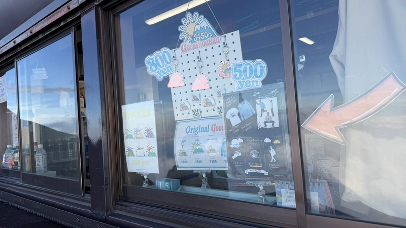

Tap to enlarge


Tap to enlarge
Through the Night to the Summit
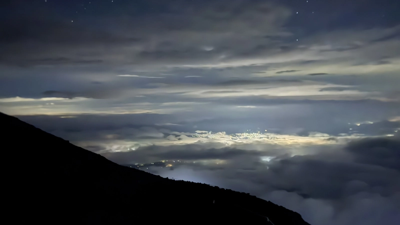
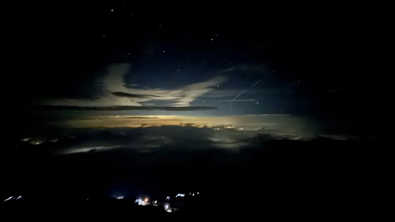
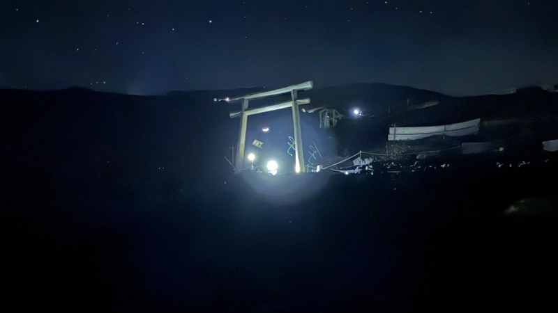
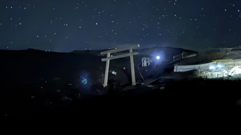
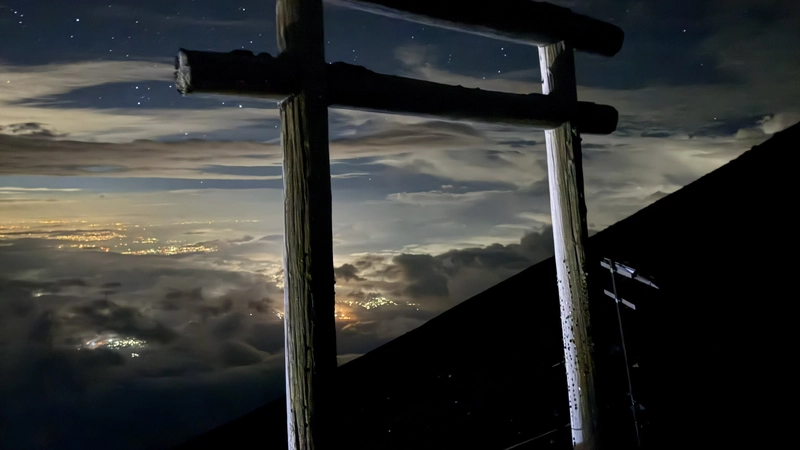
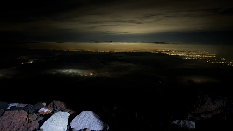
We ate lightly just after midnight and set out from Hon-Hachigome. The only light is your headlamp, with the town lights far below and the stars overhead. Official guideline times give roughly 20 minutes from Hon-Hachigome to Goraikokan, 30 more to the 9th Station, and 25 from there to the summit torii. In practice we spent long stretches stopped in queues and did not keep to those times.
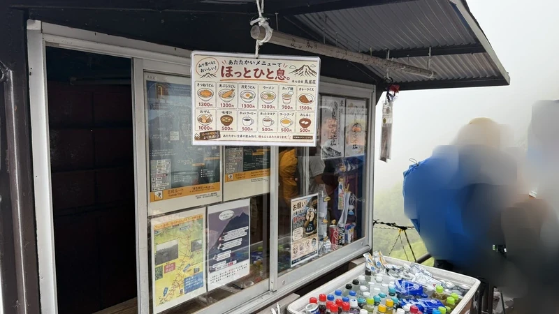
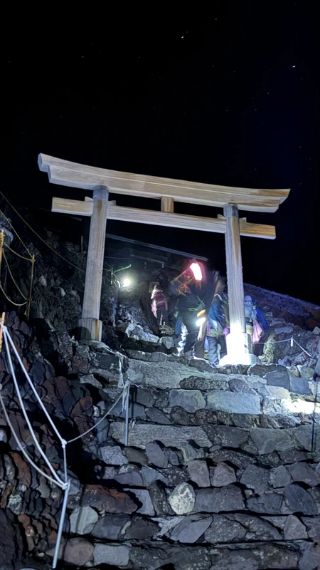
Above the 9th Station a series of white torii appears. Each one appearing out of the dark told us how far we had come. Through the last of them lies the Yoshida/Subashiri-guchi summit. Kusushi Shrine stands right at this Yoshida-guchi summit, and we cover its history in our companion history article. The shop counter at the summit hut had a menu posted on it.


Tap to enlarge
Sunrise at the Summit 🎥 360°
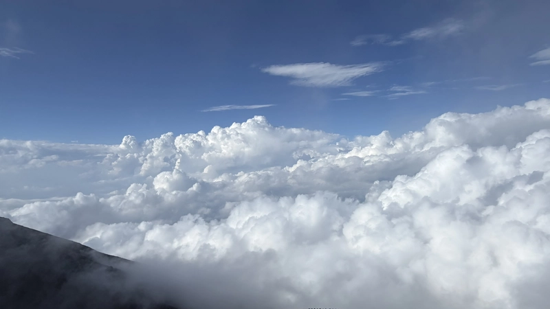
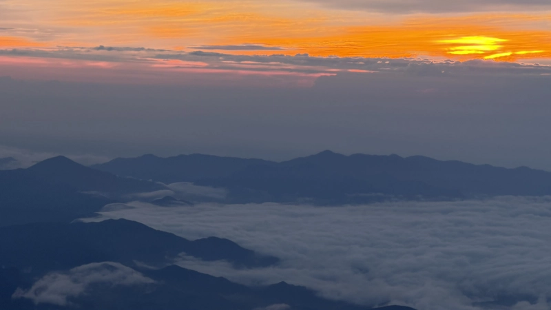
You arrive at the summit and then wait, at first in complete darkness. The eastern sky reddens slowly, and the town lights ringing Lake Yamanaka below thin out as it does. The sun came up over the edge of the cloud sea after the sky's color had fully turned.
Climbers gather for this, enough that a line forms along the rim. Waiting without proper insulation is rough, and we saw people who had clearly got too cold.


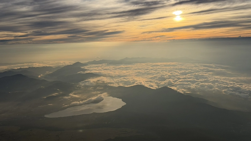

Tap to enlarge
The Crater Walk and a Second Boundary Stone 🎥 360°

After sunrise we walked the eastern arc of the crater rim — the Ohachimeguri — as a round trip out to Ginmeisui and the Okumiya, the summit shrine of Fujisan Hongu Sengen Taisha. The crater wall is steeper than we expected, with bands of differently colored strata exposed in places. Turning the other way, Lake Yamanaka sat lit by morning sun above the clouds.
Near the Okumiya, at the crater's edge, stands a stone pillar inscribed "Okumiya of Fujisan Hongu Sengen Taisha" — the second such marker after the "Sengen Taisha shrine precincts" stone at Hon-Hachigome. The stones, the Okumiya, and Kusushi Shrine are covered in the companion history article.

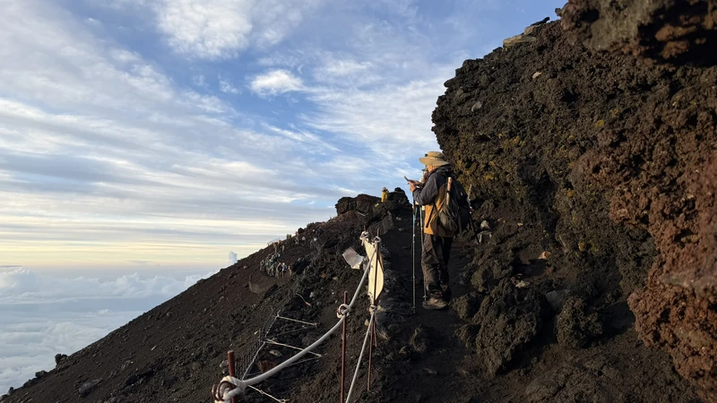


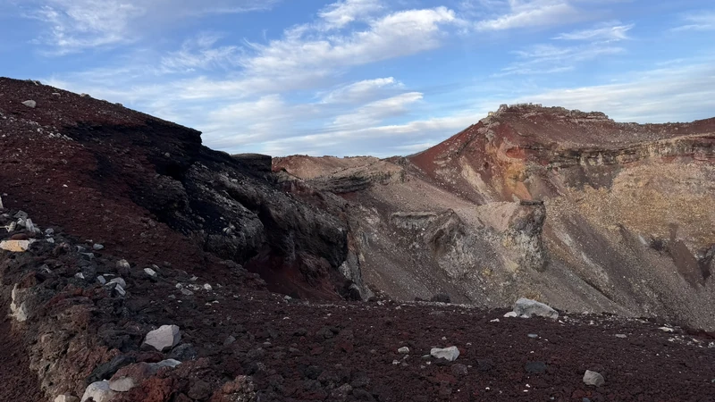


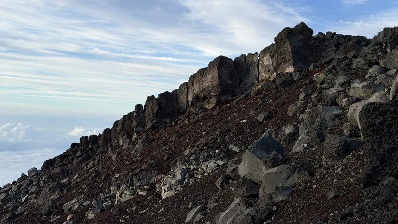
Tap to enlarge
The Descent

From the summit you descend the shared Yoshida/Subashiri route back toward the 8th Station. It is a separate path from the ascent, an endless zigzag through volcanic gravel — slippery, and hard on the knees. The saving grace is the view down over the Fuji Five Lakes as you go.
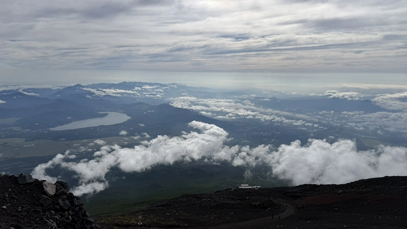
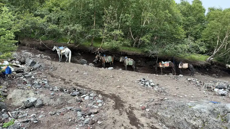
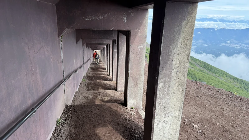
At the Shimo-Edoya junction near the 8th Station, the Yoshida and Subashiri routes split. Take the wrong one and you end up at a different trailhead entirely, so we checked the signage carefully. An emergency shelter, Shelter No. 5, sits above the 7th Station, and the trail re-enters forest as it nears the 6th. Along the way we passed pack horses resting beside the path. We asked someone on site about the horses waiting near the 6th Station, and were told that for ¥25,000 a horse can carry both you and your gear down to the 5th Station (a figure we were given in August 2026; it may change). Past Izumigataki and back to the 5th Station, the climb was over.






Tap to enlarge
Goshuin Stamps
Goshuin (shrine seals) can be received at Komitake Shrine near the 5th Station, at Tenpaigu and Eboshi-iwa-no-miya at the 8th Station, at Kusushi Shrine on the summit, and at the Okumiya of Fujisan Hongu Sengen Taisha. Tenpaigu's and the Okumiya's are available only while priests are stationed there during the climbing season.
Below are all 11 we received on August 21-22, 2026. Designs and what is on offer can change from year to year and through the season, so we have photographed every one as a record of what was available in the 2026 season specifically.
When we climbed on August 21-22, 2026, staff at each place told us that the following three are being issued for 2026 (Reiwa 8) only.
- The wooden goshuin at Fujisan Tenpaigu (we were told the number issued is limited as well)
- Kusushi Shrine's goshuin
- The Okumiya's goshuin
This is what we were told in person at each place on the day, not something we confirmed against a published announcement. Please check with each site about whether the same ones will be offered in later seasons.


Tap to enlarge
All of the above were received on August 21-22, 2026. Availability, design, and fees differ by shrine and hut and change from year to year and through the season, so the same goshuin may not be offered in later seasons. Please check each site's official information for current details.
Huts and Where to Stay the Night Before
An overnight hut stay is effectively mandatory on this itinerary. Fujisan Hotel at Hon-Hachigome, where we stayed, provides dinner and a space to sleep. Beds fill up fast in the summer season, so book early.
For the night before, the Kawaguchiko and Fujiyoshida area is the practical base — buses to the 5th Station leave from there, which shortens the travel on climb day itself.


Tap to enlarge
Every Hut Above the 7th Station
Fifteen huts line the Yoshida Trail from the 7th Station up, along the stretch we walked. Which one you book changes both your departure time and how hard the second day is, so here they are in order, with elevation, capacity, and a link to each hut's own site. Every hut takes its own bookings.
| Location | Hut | Elevation | Capacity | Official site |
|---|---|---|---|---|
| 7th Station | Hanagoya | 2,700m | 90 | Official site (Japanese only) |
| 7th Station | Hinodekan | 2,720m | 80 | Official site |
| 7th Station | Nanagome-Tomoekan | 2,740m | 100 | Official site |
| 7th Station | Kamaiwakan | 2,790m | 100 | Official site |
| 7th Station | Fujiichikan | 2,800m | 80 | Official site |
| Upper 7th Station | Torii-so | approx. 2,900m | 120 | Official site (Japanese only) |
| 7th Station | Toyokan | approx. 3,000m | 178 | Official site |
| 8th Station | Taishikan | approx. 3,100m | 200 | Official site |
| 8th Station | Horaikan | 3,150m | 75 | Official site (Japanese only) |
| 8th Station | Hakuunso | 3,200m | 180 | Official site |
| 8th Station | Gansomuro | 3,250m | 125 | Official site |
| Hon-Hachigome | Fujisan Hotel | 3,400m | 240 | Official site |
| Hon-Hachigome | Hon-Hachigome Tomoekan | 3,400m | 120 | Official site |
| Hon-Hachigome | Kami-Edoya | — | — | — |
| 8.5th Station | Goraikokan | 3,450m | 90 | Official site |
Capacity figures are taken from the Fujisan Yoshidaguchi Ryokan Association's list so that all huts are on the same basis. They can differ from what a hut's own site or a booking service shows, and they do not indicate how many places are bookable or currently free. Locations and elevations follow each hut's own wording. Kami-Edoya is not on the association's list, so its elevation and capacity are left blank. Everything here was checked on August 28, 2026; prices, booking methods, and opening status change, so confirm with each hut before you book. Several huts have no English site — those links are marked, and reservations at some are handled in Japanese only. The Hanagoya and Hakuunso sites are served over http, so some browsers will show a warning.
Yakiin: the Stamps We Collected in 2024
A yakiin is a stamp burned into a wooden pilgrim staff at a hut's shop. One is added at each hut you stop at, so the staff ends up carrying a physical record of how far you climbed. The designs and lettering differ from hut to hut, and a single hut often offers more than one.
The stamps shown here were received on a 2024 (Reiwa 6) climb of the Yoshida Trail — not on our August 2026 climb. The year is burned into several of them: 2024 on the Toyokan, Hinodekan and Torii-so stamps, and Reiwa 6 on those from Fujiichikan and Gansomuro. Each hut's own stamps also appear in that hut's photo panel above.
These two are shown separately from the hut-by-hut photos above. The stamp reading Summit, 3,776m was received at the summit. The other, Subashiri-guchi Edoya, is from Shimo-Edoya at the 8th Station and was received on the way down, on the descent route.


Tap to enlarge
Yakiin are burned at each hut's shop for a fee. Whether a hut offers them, which designs, and what they cost all vary by hut, and change from year to year and through the season. Everything above was received in 2024, so the same designs may no longer be on offer.
A few of the more striking designs are shown here. All 29 stamps are gathered in the gallery below.
Tap to enlarge
Tap to enlarge
Lessons from the Climb — Firsthand Tips
A few things we noticed along the way that are worth passing on to the next climber — the kind of detail that doesn't always make it into a guidebook.
| Toughest stretches physically | The rocky sections around the 7th Station and around the 9th Station felt the hardest. The rest of the route was comparatively easy. |
|---|---|
| Walking alone at night | A single headlamp only lights a narrow area, and it's easy to trip on rocks. Walking near a guided tour group means more ambient light and easier footing. |
| Gloves | Worth bringing. If you fall and put a hand down, the volcanic rock can cut it. |
| Climbing rocky sections | Rather than using trekking poles, going on all fours with gloved hands sometimes felt easier on the rockier stretches. |
| Empty drink bottles | Huts other than the one you bought a drink from often won't take back your empty plastic bottle. It helps to pour your drink into a bottle you already have, then hand over the emptied one. |
| Summit benches | Even if you've claimed a spot, another climber may set their gear down right in front of you. Be careful about holding a spot. |
| Earplugs in the huts | The huts creak every time someone walks through, so earplugs are close to essential. An eye mask isn't strictly needed — a towel works as a substitute. |
| Changeable weather | Even when it's cloudy at the base, it can be clear higher up. Cloudy conditions actually felt cooler and more comfortable; clear skies meant more heat. On a clear night, the stars are spectacular. |
| Entry fee and gear checks | We were asked to show proof of the ¥4,000 entry fee and had our gear checked. |
| Storing luggage | The 5th Station has coin lockers, which were handy — ours cost ¥500. |
| When to buy supplies | Prices rise with altitude, so it's worth buying lighter items down at the 5th Station rather than higher up. |
| Where to get goshuin | On the Yoshida Trail we were able to receive goshuin at four counters: the 5th Station, the 8th Station, and two at the summit. The 8th Station counter, beside Tenpaigu's hall, issues both Tenpaigu's and Eboshi-iwa-no-miya's goshuin together. |
| Descent technique | The descent felt harder than the climb up. Taking smaller steps and landing with your whole foot, rather than your toes, reduced the strain on your toes and knees. |
| Posture on the descent | On the way down, leaning slightly forward eased the strain the pack put on our shoulders. |
Everything above reflects what we personally experienced during our climb on August 21-22, 2026. Conditions vary by season and by individual.
Our own priority order after walking the Yoshida Trail over two days in August 2026. Not an official recommendation.
Worth prioritizing the overnight push to stand on the summit before dawn. The sky changing color beforehand is worth being there for too.
About an hour round trip to Ginmeisui, the Okumiya, and the second boundary stone. If you have the energy and the time, this is where you can see the second boundary stone for yourself.
Continuing past the Okumiya to circle the whole crater takes considerably longer. If your bus time down is tight, turning back at the Okumiya is perfectly fine.
Frequently Asked Questions
Of the four routes it is the most beginner-friendly: buses run to its 5th Station and huts line the path. Even so, above 3,000m you notice how thin the air is, and the last stretch is done on rock in the dark. If you do no regular exercise it will be hard, so build up some walking beforehand.
The official guideline of about 6 hours up and 4 hours down counts walking only. With the standard overnight hut stay and a midnight push to the summit, it takes two full days in practice. We also spent long stretches held up in queues and did not match those times.
Yes. A direct highway bus from Shinjuku takes about 2h35m, or you can take the train to Kawaguchiko or Fujisan Station and transfer to a local bus (about 55 minutes from Kawaguchiko). Fares and times are in the access section above.
Goshuin are available at Komitake Shrine near the 5th Station; at Tenpaigu at the 8th Station, where the same counter beside its hall also issues Eboshi-iwa-no-miya's; and at Kusushi Shrine and the Okumiya on the summit. For branding, you buy a wooden staff at the 5th Station and have it stamped at huts along the way. Availability and fees vary by location and season, so check each site's official information.
Because everything above the 8th Station is, legally, the precincts of Fujisan Hongu Sengen Taisha. The status traces back to Tokugawa Ieyasu's donation and was settled by a 1974 Supreme Court ruling. Our companion history article explains it in full.
On our climb of August 21-22, 2026 we received 11 in total, from five shrines: Komitake Shrine, Eboshi-iwa-no-miya, Tenpaigu, Kusushi Shrine, and the Okumiya of Fujisan Hongu Sengen Taisha. Eboshi-iwa-no-miya's and Tenpaigu's goshuin are both issued from the same counter, beside Tenpaigu's hall at the 8th Station, rather than from two separate places. Photographs of every one — including Kusushi Shrine's silver Mt. Fuji and the Okumiya's gold Mt. Fuji two-page spreads — are in the goshuin section above. Staff on site told us that three of them — the wooden goshuin at Fujisan Tenpaigu, Kusushi Shrine's, and the Okumiya's — are issued for 2026 only, and that the wooden one at Tenpaigu is limited in number too. The same ones may not be available in later seasons. Check each site's official information before you go.
Related Articles
☕ Support This Site
Following the Shogun is built on original fieldwork and on-site research.
If you found this guide useful, your support helps keep it going.

You can also support via QR code


comment